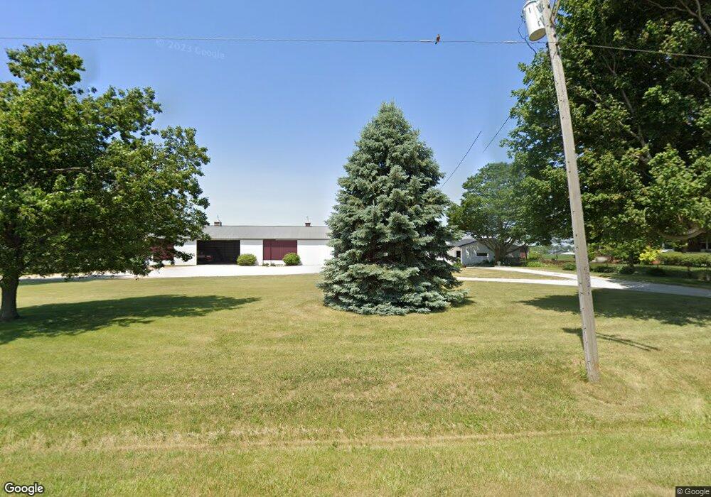
20340 N 800 East Rd Carlock, IL 61725
Estimated Value: $349,000 - $623,000
4
Beds
2
Baths
5,512
Sq Ft
$89/Sq Ft
Est. Value
About This Home
This home is located at 20340 N 800 East Rd, Carlock, IL 61725 and is currently estimated at $491,701, approximately $89 per square foot. 20340 N 800 East Rd is a home located in McLean County with nearby schools including Carlock Elementary School, Parkside Junior High School, and Normal Community West High School.
Ownership History
Date
Name
Owned For
Owner Type
Purchase Details
Closed on
May 17, 2023
Sold by
Mailhot James Patrick and Mailhot Mary Beth
Bought by
James P Mailhot Revocabele Trust and Mailhot
Current Estimated Value
Purchase Details
Closed on
Sep 1, 2017
Sold by
Keighin Kevin B and Keighin Janet S
Bought by
Maihot James Patrick and Brandt Maihot Mary Beth
Create a Home Valuation Report for This Property
The Home Valuation Report is an in-depth analysis detailing your home's value as well as a comparison with similar homes in the area
Home Values in the Area
Average Home Value in this Area
Purchase History
| Date | Buyer | Sale Price | Title Company |
|---|---|---|---|
| James P Mailhot Revocabele Trust | -- | None Listed On Document | |
| Maihot James Patrick | $329,000 | Frontier Title Co |
Source: Public Records
Tax History Compared to Growth
Tax History
| Year | Tax Paid | Tax Assessment Tax Assessment Total Assessment is a certain percentage of the fair market value that is determined by local assessors to be the total taxable value of land and additions on the property. | Land | Improvement |
|---|---|---|---|---|
| 2024 | $10,757 | $174,606 | $17,318 | $157,288 |
| 2022 | $10,757 | $143,002 | $14,183 | $128,819 |
| 2021 | $9,990 | $131,158 | $13,008 | $118,150 |
| 2020 | $9,748 | $127,548 | $12,650 | $114,898 |
| 2019 | $9,008 | $122,418 | $12,141 | $110,277 |
| 2018 | $9,509 | $120,978 | $11,998 | $108,980 |
| 2017 | $8,817 | $117,477 | $11,651 | $105,826 |
| 2016 | $8,808 | $117,477 | $11,651 | $105,826 |
| 2015 | $8,667 | $115,935 | $11,498 | $104,437 |
| 2014 | $8,578 | $115,935 | $11,498 | $104,437 |
| 2013 | -- | $119,250 | $11,827 | $107,423 |
Source: Public Records
Map
Nearby Homes
- 4 Cobblestone Ave
- 4 Sandstone Ave
- 9 Boulder Dr
- 15 Boulder Dr
- 12 Boulder Dr
- 14 Boulder Dr
- 307 1/2 N Church St
- 203 W Franklin St
- 297 MacAllen Lake Rd
- 209 N West St
- 114 W North St
- 254 County Road 2500 E
- 9491 Crossbow Dr
- 9688 Old Peoria Rd
- 8468 Carriage Hills Rd
- 2009 Marina Dr
- 1925 Marina Dr
- 9030 Hardesty Run
- 14089 Jean Trace
- 1732 Millstone Dr
- 20340 N 800 East Rd
- 7964 Us Highway 150
- 8121 Us Highway 150
- 9 Cobblestone Ave
- 8104 Us Highway 150
- 5 Cobblestone Ave Unit Rock Creek Sub Lot 3
- 5 Cobblestone Ave
- 5 Cobblestone Ave
- 3 Cobblestone Ave
- 3 Cobblestone Ave
- 6 Cobblestone Ave
- 1 Boulder Dr
- 1 Cobblestone Ave
- 6 Sandstone Ave
- 5 Boulder Dr
- 7 Sandstone Ave
- 410 E Washington St
- 410 E Washington St Unit Lot 1 Milligan Subd
- 410 E Washington St Unit 1 MILLI
- 7 Boulder Dr