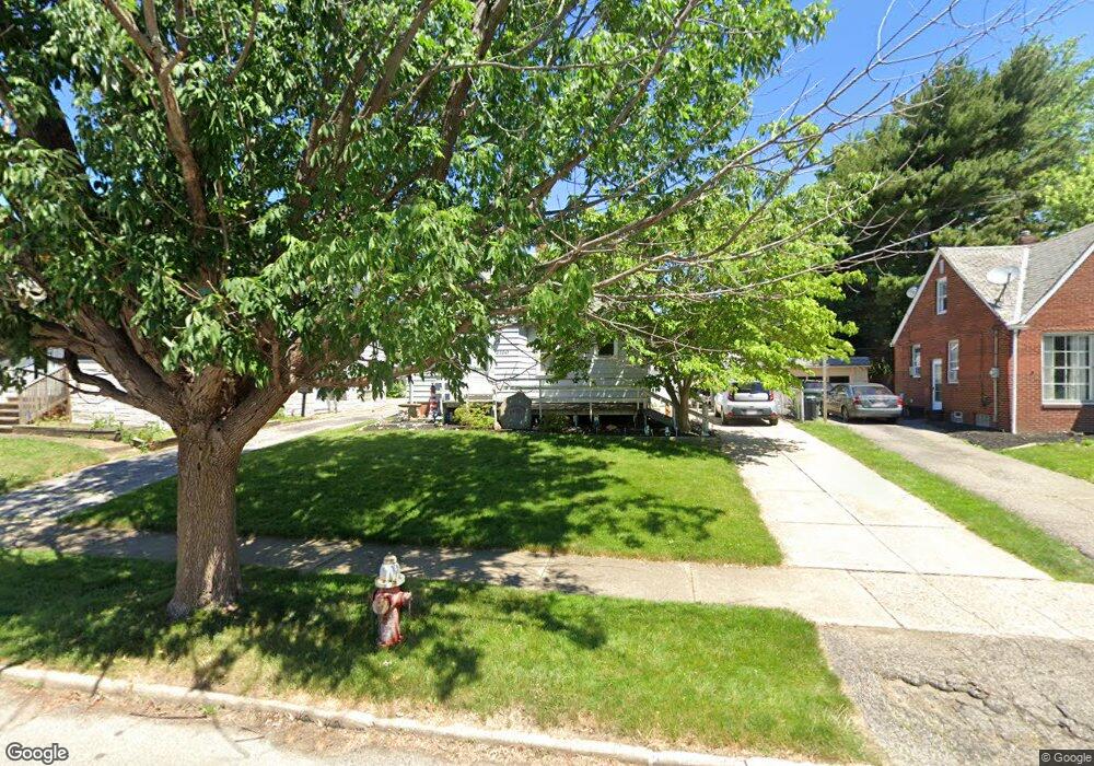
20341 Westport Ave Euclid, OH 44123
Estimated Value: $117,282 - $147,000
3
Beds
1
Bath
1,176
Sq Ft
$110/Sq Ft
Est. Value
About This Home
This home is located at 20341 Westport Ave, Euclid, OH 44123 and is currently estimated at $129,571, approximately $110 per square foot. 20341 Westport Ave is a home located in Cuyahoga County with nearby schools including Arbor Elementary School, Euclid Middle School, and Euclid High School.
Ownership History
Date
Name
Owned For
Owner Type
Purchase Details
Closed on
Aug 7, 1978
Sold by
Sumrada Phillip J and J M
Bought by
Crosby Kenneth J
Current Estimated Value
Purchase Details
Closed on
Jan 1, 1975
Bought by
Sumrada Phillip J and J M
Create a Home Valuation Report for This Property
The Home Valuation Report is an in-depth analysis detailing your home's value as well as a comparison with similar homes in the area
Home Values in the Area
Average Home Value in this Area
Purchase History
| Date | Buyer | Sale Price | Title Company |
|---|---|---|---|
| Crosby Kenneth J | $41,000 | -- | |
| Sumrada Phillip J | -- | -- |
Source: Public Records
Tax History Compared to Growth
Tax History
| Year | Tax Paid | Tax Assessment Tax Assessment Total Assessment is a certain percentage of the fair market value that is determined by local assessors to be the total taxable value of land and additions on the property. | Land | Improvement |
|---|---|---|---|---|
| 2024 | $2,099 | $39,515 | $8,645 | $30,870 |
| 2023 | $1,427 | $24,680 | $6,790 | $17,890 |
| 2022 | $1,430 | $24,680 | $6,790 | $17,890 |
| 2021 | $1,577 | $24,680 | $6,790 | $17,890 |
| 2020 | $1,984 | $18,690 | $5,150 | $13,550 |
| 2019 | $1,780 | $53,400 | $14,700 | $38,700 |
| 2018 | $1,722 | $18,690 | $5,150 | $13,550 |
| 2017 | $1,784 | $15,470 | $3,430 | $12,040 |
| 2016 | $1,787 | $15,470 | $3,430 | $12,040 |
| 2015 | $5,482 | $15,470 | $3,430 | $12,040 |
| 2014 | $5,482 | $15,470 | $3,430 | $12,040 |
Source: Public Records
Map
Nearby Homes
- 20540 Fuller Ave
- 20561 Westport Ave
- 311 E 197th St
- 275 E 200th St
- 20760 Westport Ave
- 20921 Westport Ave
- 20500 Morris Ave
- 20590 Morris Ave
- 20801 Morris Ave
- 19771 S Lake Shore Blvd
- 21050 Fuller Ave
- 21051 Westport Ave
- 20800 Morris Ave
- 21030 Priday Ave
- 21181 Ball Ave
- 20830 Tracy Ave
- 19751 Lake Shore Blvd
- 174 E 200th St
- 20571 Naumann Ave
- 21170 Wilmore Ave
- 20361 Westport Ave
- 20313 Westport Ave
- 20421 Westport Ave
- 20350 Ball Ave
- 20275 Westport Ave
- 20330 Ball Ave
- 20380 Ball Ave
- 20431 Westport Ave
- 20300 Ball Ave
- 20408 Ball Ave
- 20350 Westport Ave
- 20330 Westport Ave
- 20231 Westport Ave
- 20260 Ball Ave
- 20390 Westport Ave
- 20441 Westport Ave
- 20300 Westport Ave
- 20420 Westport Ave
- 20230 Ball Ave
- 20260 Westport Ave