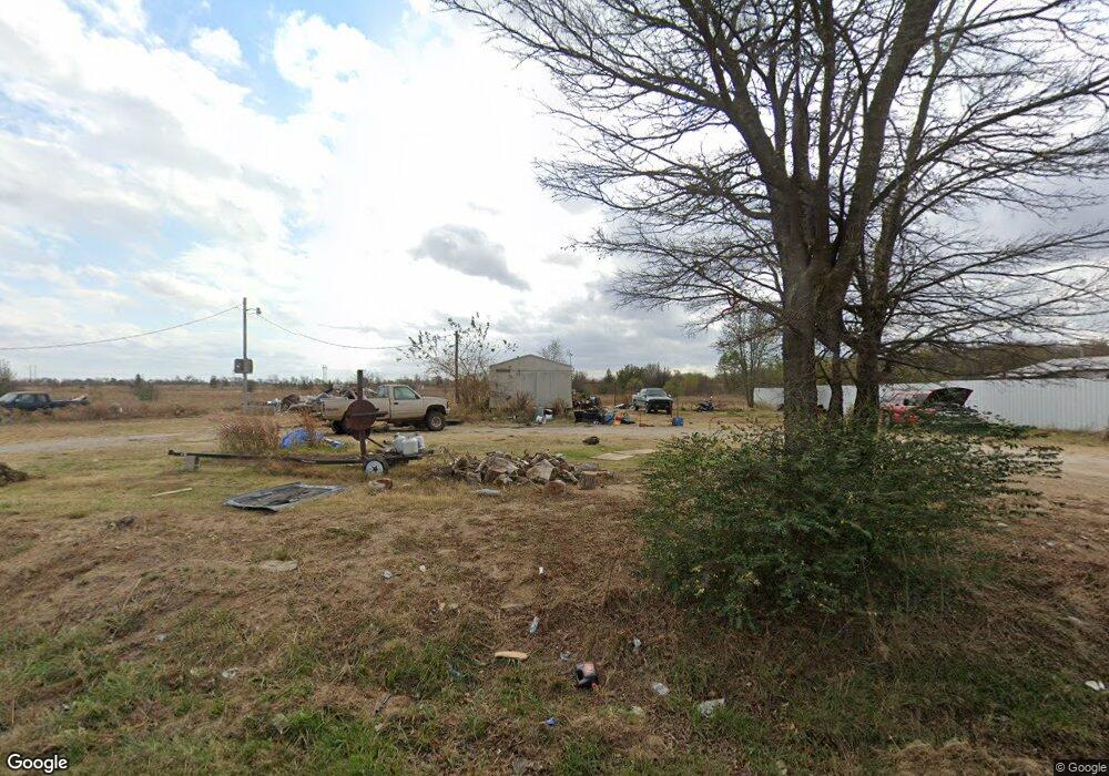
20345 W 10th St N Haskell, OK 74436
Estimated Value: $89,000 - $171,000
--
Bed
--
Bath
1,792
Sq Ft
$79/Sq Ft
Est. Value
About This Home
This home is located at 20345 W 10th St N, Haskell, OK 74436 and is currently estimated at $141,333, approximately $78 per square foot. 20345 W 10th St N is a home located in Muskogee County with nearby schools including Mary White Elementary School, Haskell Middle School, and Haskell High School.
Ownership History
Date
Name
Owned For
Owner Type
Purchase Details
Closed on
Oct 29, 2025
Sold by
Elliott Jim and Elliott Connie
Bought by
Webster Matthew
Current Estimated Value
Home Financials for this Owner
Home Financials are based on the most recent Mortgage that was taken out on this home.
Original Mortgage
$100,000
Outstanding Balance
$99,773
Interest Rate
6.3%
Mortgage Type
Seller Take Back
Estimated Equity
$41,560
Purchase Details
Closed on
Sep 24, 2020
Sold by
Vanderbilt Mortgage And Finance Inc
Bought by
Elliott Jim and Elliott Connie
Create a Home Valuation Report for This Property
The Home Valuation Report is an in-depth analysis detailing your home's value as well as a comparison with similar homes in the area
Home Values in the Area
Average Home Value in this Area
Purchase History
| Date | Buyer | Sale Price | Title Company |
|---|---|---|---|
| Webster Matthew | $115,000 | Old Republic National Title | |
| Elliott Jim | $8,000 | None Available |
Source: Public Records
Mortgage History
| Date | Status | Borrower | Loan Amount |
|---|---|---|---|
| Open | Webster Matthew | $100,000 |
Source: Public Records
Tax History Compared to Growth
Tax History
| Year | Tax Paid | Tax Assessment Tax Assessment Total Assessment is a certain percentage of the fair market value that is determined by local assessors to be the total taxable value of land and additions on the property. | Land | Improvement |
|---|---|---|---|---|
| 2025 | $325 | $2,974 | $440 | $2,534 |
| 2024 | $325 | $2,833 | $440 | $2,393 |
| 2023 | $325 | $2,698 | $440 | $2,258 |
| 2022 | $262 | $2,698 | $440 | $2,258 |
| 2021 | $283 | $2,799 | $440 | $2,359 |
| 2020 | $412 | $5,097 | $440 | $4,657 |
| 2019 | $412 | $5,097 | $440 | $4,657 |
| 2018 | $151 | $5,097 | $440 | $4,657 |
| 2017 | $150 | $5,097 | $440 | $4,657 |
| 2016 | $388 | $5,097 | $440 | $4,657 |
| 2015 | $142 | $5,097 | $440 | $4,657 |
| 2014 | $143 | $5,097 | $440 | $4,657 |
Source: Public Records
Map
Nearby Homes
- 0 Ferguson Rd
- N320 Road
- 122 N Davis Ave
- 20882 Gardenia Ct
- 20958 Gardenia Place
- 4221 N 314 Rd
- 20629 Garfield Rd
- 20181 Ferguson Rd
- 20435 Grant Rd
- 0 Grant Rd
- 20648 W Duncan Rd
- 224 Duncan Rd
- 151 S E Ave S
- 14215 E 208th St S
- 10 E 205th St S
- 14500 E 202nd St S
- 20101 S 137th East Ave
- 20137 S 137th East Ave
- 70 N 300 Rd
- 20225 S 131st East Ave