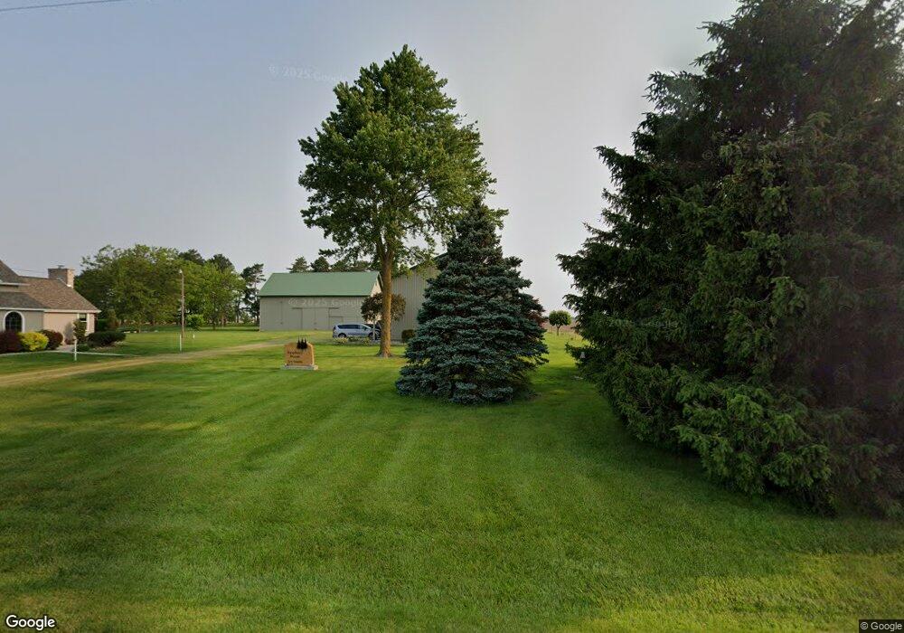
20347 Church Rd Middle Point, OH 45863
Estimated Value: $253,000 - $376,162
5
Beds
4
Baths
3,148
Sq Ft
$103/Sq Ft
Est. Value
About This Home
This home is located at 20347 Church Rd, Middle Point, OH 45863 and is currently estimated at $323,541, approximately $102 per square foot. 20347 Church Rd is a home located in Van Wert County with nearby schools including Lincolnview Elementary School and Lincolnview Junior/Senior High School.
Ownership History
Date
Name
Owned For
Owner Type
Purchase Details
Closed on
May 7, 1993
Bought by
Emerine Tom and Emerine Karen J
Current Estimated Value
Create a Home Valuation Report for This Property
The Home Valuation Report is an in-depth analysis detailing your home's value as well as a comparison with similar homes in the area
Home Values in the Area
Average Home Value in this Area
Purchase History
| Date | Buyer | Sale Price | Title Company |
|---|---|---|---|
| Emerine Tom | $51,000 | -- |
Source: Public Records
Tax History Compared to Growth
Tax History
| Year | Tax Paid | Tax Assessment Tax Assessment Total Assessment is a certain percentage of the fair market value that is determined by local assessors to be the total taxable value of land and additions on the property. | Land | Improvement |
|---|---|---|---|---|
| 2024 | $3,031 | $96,650 | $17,080 | $79,570 |
| 2023 | $3,031 | $96,650 | $17,080 | $79,570 |
| 2022 | $3,147 | $73,690 | $13,620 | $60,070 |
| 2021 | $3,108 | $73,690 | $13,620 | $60,070 |
| 2020 | $3,098 | $73,690 | $13,620 | $60,070 |
| 2019 | $2,625 | $67,350 | $12,030 | $55,320 |
| 2018 | $2,598 | $67,350 | $12,030 | $55,320 |
| 2017 | $2,563 | $67,350 | $12,030 | $55,320 |
| 2016 | $2,152 | $63,410 | $11,420 | $51,990 |
| 2015 | $2,120 | $63,410 | $11,420 | $51,990 |
| 2014 | $2,186 | $62,970 | $11,420 | $51,550 |
| 2013 | $2,625 | $62,970 | $11,420 | $51,550 |
Source: Public Records
Map
Nearby Homes
- 8951 Brickner Rd
- 104 W Railroad St
- 112 W Railroad St
- TBD Dog Creek Rd
- 104 W South St
- 7510 State Route 66
- 0 Road 24-Q
- 320 Auglaize St
- 0 Heritage Cir Unit 6112034
- 0 Heritage Cir Unit 303239
- 11630 Clearview Dr
- 604 W 6th St
- 616 W 5th St
- 503 W 6th St
- 409 N Bredeick St
- 810 N Franklin St
- 610 N Washington St
- 704 N Franklin St
- 1303 Carolyn Dr
- 405 N Franklin St
- 20198 Church Rd
- 20530 Church Rd
- 20638 Church Rd
- 20028 Church Rd
- 7089 Middle Point Wetzel Rd
- 20716 Church Rd
- 7046 Middle Point Wetzel Rd
- 6754 Middle Point Wetzel Rd
- 6647 Middle Point Wetzel Rd
- 6590 Middle Point Wetzel Rd
- 6542 Middle Point Wetzel Rd
- 7481 Middle Point Wetzel Rd
- 6813 Converse Roselm Rd
- 6383 Middle Point Wetzel Rd
- 7386 Converse Roselm Rd
- 19599 Church Rd
- 6615 Converse Roselm Rd
- 7626 Middle Point Wetzel Rd
- 7443 Converse Roselm Rd