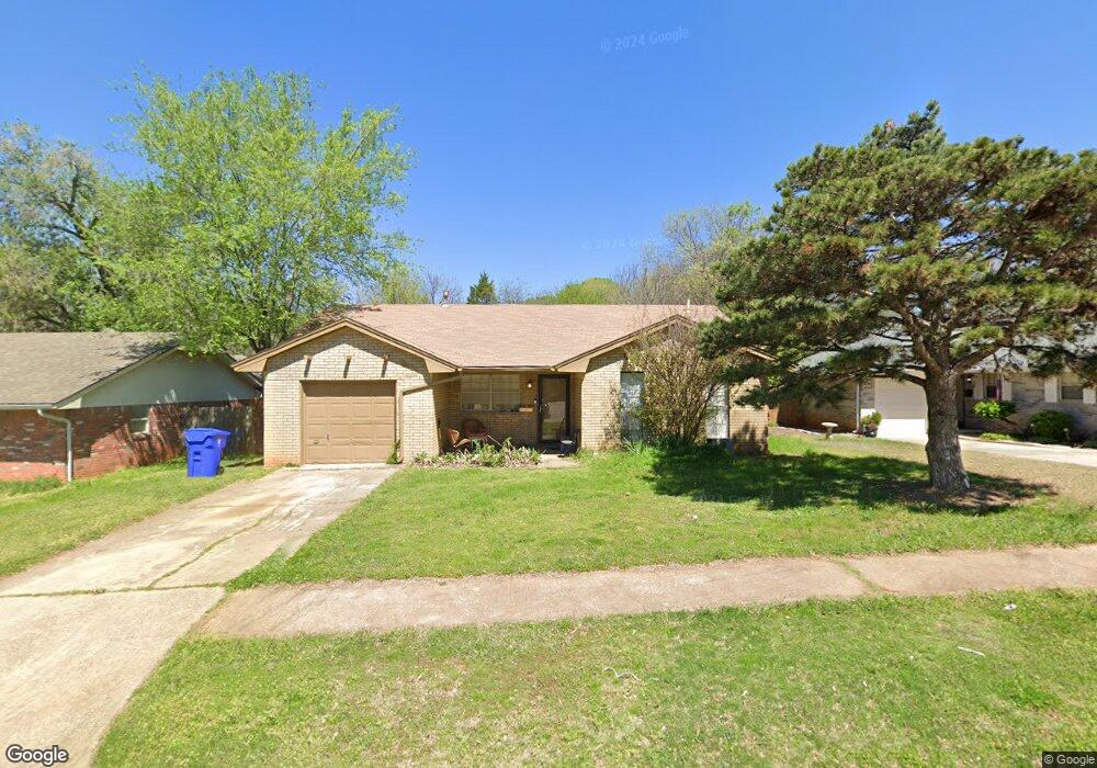
2035 Allenhurst St Norman, OK 73071
Southeast Norman NeighborhoodEstimated Value: $142,000 - $173,000
3
Beds
2
Baths
1,030
Sq Ft
$151/Sq Ft
Est. Value
About This Home
This home is located at 2035 Allenhurst St, Norman, OK 73071 and is currently estimated at $155,218, approximately $150 per square foot. 2035 Allenhurst St is a home located in Cleveland County with nearby schools including Ronald Reagan Elementary School, Irving Middle School, and Norman High School.
Ownership History
Date
Name
Owned For
Owner Type
Purchase Details
Closed on
May 18, 2005
Sold by
Rak Properties Inc
Bought by
Swanson Erik Peter and Swanson Denise M
Current Estimated Value
Home Financials for this Owner
Home Financials are based on the most recent Mortgage that was taken out on this home.
Original Mortgage
$63,000
Outstanding Balance
$32,060
Interest Rate
5.87%
Mortgage Type
New Conventional
Estimated Equity
$123,158
Purchase Details
Closed on
May 6, 2005
Sold by
Reynolds Robert E and Reynolds Sharon
Bought by
Rak Properties Inc
Home Financials for this Owner
Home Financials are based on the most recent Mortgage that was taken out on this home.
Original Mortgage
$63,000
Outstanding Balance
$32,060
Interest Rate
5.87%
Mortgage Type
New Conventional
Estimated Equity
$123,158
Create a Home Valuation Report for This Property
The Home Valuation Report is an in-depth analysis detailing your home's value as well as a comparison with similar homes in the area
Home Values in the Area
Average Home Value in this Area
Purchase History
| Date | Buyer | Sale Price | Title Company |
|---|---|---|---|
| Swanson Erik Peter | $70,000 | None Available | |
| Rak Properties Inc | $65,000 | None Available |
Source: Public Records
Mortgage History
| Date | Status | Borrower | Loan Amount |
|---|---|---|---|
| Open | Swanson Erik Peter | $63,000 |
Source: Public Records
Tax History
| Year | Tax Paid | Tax Assessment Tax Assessment Total Assessment is a certain percentage of the fair market value that is determined by local assessors to be the total taxable value of land and additions on the property. | Land | Improvement |
|---|---|---|---|---|
| 2025 | $1,327 | $11,054 | $2,677 | $8,377 |
| 2023 | $1,204 | $10,026 | $2,689 | $7,337 |
| 2022 | $1,100 | $9,549 | $1,800 | $7,749 |
| 2021 | $1,159 | $9,549 | $1,800 | $7,749 |
| 2020 | $1,134 | $9,549 | $1,800 | $7,749 |
| 2019 | $1,154 | $9,549 | $1,800 | $7,749 |
| 2018 | $1,119 | $9,549 | $1,800 | $7,749 |
| 2017 | $1,131 | $9,549 | $0 | $0 |
| 2016 | $1,123 | $9,325 | $1,758 | $7,567 |
| 2015 | -- | $8,881 | $1,132 | $7,749 |
| 2014 | -- | $8,881 | $1,132 | $7,749 |
Source: Public Records
Map
Nearby Homes
- 2125 Allenhurst St
- 1301 Whippoorwill Dr
- 1515 Oakhurst Ave
- 1603 Oakcrest Ave
- 1711 E Lindsey St Unit 3
- 1723 E Lindsey St Unit 2
- 1723 E Lindsey St Unit 4
- 1725 E Lindsey St Unit 1
- 1715 E Lindsey St Unit 2
- 931 Beaumont Square
- 810 Beaumont Square
- 3810 Muir Forest Way
- 1806 23rd St SE
- 1409 Castlebay St
- 1404 Peach Tree Ln
- 2613 Glen Oaks Dr
- 2608 Briar Patch Way
- 1301 Hollow Tree Terrace
- 1 E Lindsey St
- 1301 Briar Patch Way
- 2031 Allenhurst St
- 2039 Allenhurst St
- 2043 Allenhurst St
- 2030 Allenhurst St
- 2026 Allenhurst St
- 2034 Allenhurst St
- 2103 Allenhurst St
- 2019 Allenhurst St
- 2022 Allenhurst St
- 2038 Allenhurst St
- 2109 Allenhurst St
- 2015 Allenhurst St
- 2100 Allenhurst St
- 2018 Allenhurst St
- 2013 Elmhurst Dr
- 2017 Elmhurst Dr
- 2104 Allenhurst St
- 2115 Allenhurst St
- 2009 Elmhurst Dr
- 2021 Elmhurst Dr
Your Personal Tour Guide
Ask me questions while you tour the home.