2035 E 550 S Franklin, IN 46131
Estimated Value: $700,000 - $906,000
3
Beds
4
Baths
2,567
Sq Ft
$301/Sq Ft
Est. Value
About This Home
This home is located at 2035 E 550 S, Franklin, IN 46131 and is currently estimated at $773,838, approximately $301 per square foot. 2035 E 550 S is a home located in Johnson County with nearby schools including Needham Elementary School, Franklin Community Middle School, and Custer Baker Intermediate School.
Ownership History
Date
Name
Owned For
Owner Type
Purchase Details
Closed on
Apr 30, 2020
Sold by
Wood Michael R and Wood Donna
Bought by
Sims Michael D and Sims Stacy L
Current Estimated Value
Home Financials for this Owner
Home Financials are based on the most recent Mortgage that was taken out on this home.
Original Mortgage
$510,000
Outstanding Balance
$451,931
Interest Rate
3.3%
Mortgage Type
New Conventional
Estimated Equity
$316,565
Purchase Details
Closed on
Dec 14, 2016
Sold by
Wentzel Mark A and Wentzel Mary
Bought by
Wood Michael R and Wood Donna
Home Financials for this Owner
Home Financials are based on the most recent Mortgage that was taken out on this home.
Original Mortgage
$352,000
Interest Rate
3.94%
Mortgage Type
Construction
Create a Home Valuation Report for This Property
The Home Valuation Report is an in-depth analysis detailing your home's value as well as a comparison with similar homes in the area
Home Values in the Area
Average Home Value in this Area
Purchase History
| Date | Buyer | Sale Price | Title Company |
|---|---|---|---|
| Sims Michael D | -- | Chicago Title | |
| Wood Michael R | -- | None Available |
Source: Public Records
Mortgage History
| Date | Status | Borrower | Loan Amount |
|---|---|---|---|
| Open | Sims Michael D | $510,000 | |
| Previous Owner | Wood Michael R | $352,000 |
Source: Public Records
Tax History
| Year | Tax Paid | Tax Assessment Tax Assessment Total Assessment is a certain percentage of the fair market value that is determined by local assessors to be the total taxable value of land and additions on the property. | Land | Improvement |
|---|---|---|---|---|
| 2025 | $7,127 | $655,700 | $129,900 | $525,800 |
| 2024 | $7,127 | $584,600 | $130,000 | $454,600 |
| 2023 | $7,258 | $591,000 | $130,000 | $461,000 |
| 2022 | $7,877 | $595,500 | $130,000 | $465,500 |
| 2021 | $7,358 | $532,800 | $129,500 | $403,300 |
| 2020 | $6,747 | $475,100 | $125,500 | $349,600 |
| 2019 | $6,663 | $476,500 | $125,500 | $351,000 |
| 2018 | $3,993 | $457,600 | $125,500 | $332,100 |
| 2017 | $2,104 | $104,000 | $104,000 | $0 |
| 2016 | $2,199 | $104,000 | $104,000 | $0 |
| 2014 | $2,112 | $104,000 | $104,000 | $0 |
| 2013 | $2,112 | $104,000 | $104,000 | $0 |
Source: Public Records
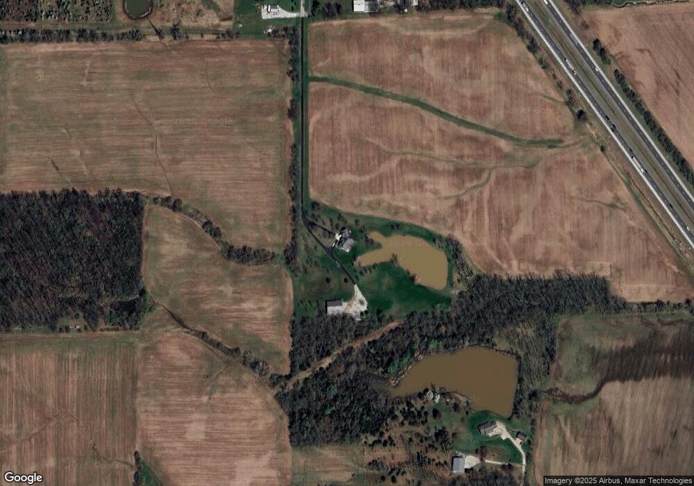
Map
Nearby Homes
- 5495 E Greensburg Rd
- 150 E South St
- 3301 S 550 E
- 2310 Fox Dr
- 3664 S 550 E
- 2073 S Us Highway 31
- 863 S 450 E
- 3366 S 800 E
- 1810 E Jefferson St
- 6227 E State Road 44
- 1723 Midland Dr
- 409 Paris Dr
- 2080 Fairway Lakes Dr
- 17 Morning Dr
- 41 Middleton Dr
- 1102 E Jefferson St
- 6516 N U S Highway 31
- 1240 Hillview Dr
- 1110 Hillview Dr
- 1083 Beechtree Ln
Your Personal Tour Guide
Ask me questions while you tour the home.