2035 E Tall Woods Ct Unit 40 Draper, UT 84020
Estimated Value: $1,076,000 - $1,235,017
2
Beds
4
Baths
2,284
Sq Ft
$499/Sq Ft
Est. Value
About This Home
This home is located at 2035 E Tall Woods Ct Unit 40, Draper, UT 84020 and is currently estimated at $1,140,754, approximately $499 per square foot. 2035 E Tall Woods Ct Unit 40 is a home located in Salt Lake County with nearby schools including Ridgeline Elementary School, Timberline Middle School, and Lone Peak High School.
Ownership History
Date
Name
Owned For
Owner Type
Purchase Details
Closed on
May 28, 2019
Sold by
Wynn Patrick and Wynn Aiko
Bought by
Wynn Aiko and Wynn Patrick
Current Estimated Value
Home Financials for this Owner
Home Financials are based on the most recent Mortgage that was taken out on this home.
Original Mortgage
$353,500
Outstanding Balance
$310,813
Interest Rate
4.1%
Mortgage Type
New Conventional
Estimated Equity
$829,941
Purchase Details
Closed on
Feb 11, 2016
Sold by
Neel Michelyn M
Bought by
Neel Michelyn M and Neel Barnet
Purchase Details
Closed on
Jul 15, 2014
Sold by
Dr Horton Inc
Bought by
Neel Michelyn M
Purchase Details
Closed on
Nov 13, 2012
Sold by
D R Horton Inc
Bought by
Drh Energy Inc
Purchase Details
Closed on
Oct 30, 2012
Sold by
Homes Llc
Bought by
D R Horton Inc
Purchase Details
Closed on
Oct 11, 2012
Sold by
Anderson Gary Max
Bought by
Homes Llc
Home Financials for this Owner
Home Financials are based on the most recent Mortgage that was taken out on this home.
Original Mortgage
$150,000
Interest Rate
3.5%
Mortgage Type
Purchase Money Mortgage
Purchase Details
Closed on
Aug 29, 2012
Sold by
Homes Llc
Bought by
Anderson Gary Max
Home Financials for this Owner
Home Financials are based on the most recent Mortgage that was taken out on this home.
Original Mortgage
$150,000
Interest Rate
3.5%
Mortgage Type
Purchase Money Mortgage
Purchase Details
Closed on
Jun 26, 2012
Sold by
King Ridge Resources Llc
Bought by
Anderson Gary Max
Home Financials for this Owner
Home Financials are based on the most recent Mortgage that was taken out on this home.
Original Mortgage
$150,000
Interest Rate
3.5%
Mortgage Type
Purchase Money Mortgage
Purchase Details
Closed on
Dec 22, 2011
Sold by
King Ridge Resources Llc
Bought by
Anderson Gary Max
Purchase Details
Closed on
Oct 15, 2008
Sold by
King Ridge Resources Llc
Bought by
Silver King Resources Llc
Home Financials for this Owner
Home Financials are based on the most recent Mortgage that was taken out on this home.
Original Mortgage
$263,737
Interest Rate
6.31%
Mortgage Type
Seller Take Back
Purchase Details
Closed on
Jul 10, 2007
Sold by
Suncrest Llc
Bought by
King Ridge Resources Llc
Home Financials for this Owner
Home Financials are based on the most recent Mortgage that was taken out on this home.
Original Mortgage
$262,425
Interest Rate
6.41%
Mortgage Type
Purchase Money Mortgage
Create a Home Valuation Report for This Property
The Home Valuation Report is an in-depth analysis detailing your home's value as well as a comparison with similar homes in the area
Home Values in the Area
Average Home Value in this Area
Purchase History
| Date | Buyer | Sale Price | Title Company |
|---|---|---|---|
| Wynn Aiko | -- | Artisan Title | |
| Wynn Patrick | -- | First Amer Union Heights Ctr | |
| Neel Michelyn M | -- | Cottonwood Title Insurance A | |
| Neel Michelyn M | -- | Cottonwood Title Ins Ag | |
| Drh Energy Inc | -- | Highland Title | |
| D R Horton Inc | -- | Highland Title | |
| Homes Llc | -- | Cornerstone Title Ins A | |
| Anderson Gary Max | -- | Crnerstone Title Insurance | |
| Anderson Gary Max | -- | Cornerstone Title Insurance | |
| Anderson Gary Max | $60,001 | None Available | |
| Silver King Resources Llc | -- | First American Ncs South | |
| King Ridge Resources Llc | -- | First American Ncs South |
Source: Public Records
Mortgage History
| Date | Status | Borrower | Loan Amount |
|---|---|---|---|
| Open | Wynn Patrick | $353,500 | |
| Previous Owner | Anderson Gary Max | $150,000 | |
| Previous Owner | Anderson Gary Max | $150,000 | |
| Previous Owner | Silver King Resources Llc | $263,737 | |
| Previous Owner | King Ridge Resources Llc | $262,425 |
Source: Public Records
Tax History Compared to Growth
Tax History
| Year | Tax Paid | Tax Assessment Tax Assessment Total Assessment is a certain percentage of the fair market value that is determined by local assessors to be the total taxable value of land and additions on the property. | Land | Improvement |
|---|---|---|---|---|
| 2025 | $5,235 | $579,150 | $370,600 | $682,400 |
| 2024 | $5,235 | $548,845 | $0 | $0 |
| 2023 | $4,906 | $554,125 | $0 | $0 |
| 2022 | $4,625 | $509,630 | $0 | $0 |
| 2021 | $4,019 | $693,700 | $269,000 | $424,700 |
| 2020 | $3,795 | $639,900 | $215,200 | $424,700 |
| 2019 | $3,598 | $629,300 | $215,200 | $414,100 |
| 2018 | $3,705 | $615,200 | $201,100 | $414,100 |
| 2017 | $3,594 | $317,570 | $0 | $0 |
| 2016 | $3,329 | $275,715 | $0 | $0 |
| 2015 | $3,234 | $252,450 | $0 | $0 |
| 2014 | $1,624 | $132,500 | $0 | $0 |
Source: Public Records
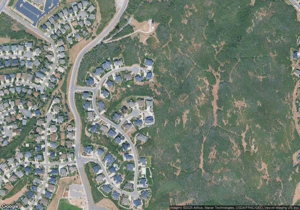
Map
Nearby Homes
- 15211 S Tall Woods Dr Unit 24
- 1870 E Oak Bend Dr
- 15151 S Eagle Chase Dr
- 1871 E Vista Ridge Ct
- 15095 Alder Glen Ln
- 14971 S Winged Bluff Ln
- 15057 S Winged Bluff Ln
- 14820 S Shadow Grove Ct
- 1795 E Walnut Grove Dr
- 14781 S Glamis Ct
- 2087 Eagle Crest Dr
- 14997 Eagle Crest Dr
- 14902 S Saddle Leaf Ct
- 14775 S Falkland Cove
- 14767 S Invergarry Ct
- 14848 S Seven Oaks Ln
- 15194 S Eagle Crest Dr Unit 139
- 14747 S Haddington Rd
- 15184 S Eagle Crest Dr
- 14764 S Deer Park Ln
- 2035 E Tall Woods Ct Unit 19
- 2035 E Tall Woods Ct
- 2031 Tall Woods Dr
- 2031 E Tall Woods Ct
- 2034 E Tall Woods Ct
- 2027 E Tall Woods Ct
- 2030 E Tall Woods Ct Unit 21
- 2030 E Tall Woods Ct Unit 21
- 2028 E Lone Spruce Ct Unit 9
- 2028 E Lone Spruce Ct
- 2032 E Lone Spruce Ct
- 2023 E Tall Woods Ct
- 2022 E Tall Woods Ct Unit 22
- 2022 E Tall Woods Ct
- 2024 E Lone Spruce Ct Unit 10
- 2024 E Lone Spruce Ct
- 15193 S Tall Woods Dr
- 2019 E Tall Woods Ct
- 2020 E Lone Spruce Ct
- 2020 E Lone Spruce Ct Unit 11