2035 Roamingwood Rd Lake Ariel, PA 18436
Estimated Value: $359,000 - $687,000
4
Beds
2
Baths
2,146
Sq Ft
$233/Sq Ft
Est. Value
About This Home
This home is located at 2035 Roamingwood Rd, Lake Ariel, PA 18436 and is currently estimated at $500,000, approximately $232 per square foot. 2035 Roamingwood Rd is a home located in Wayne County with nearby schools including Western Wayne High School.
Ownership History
Date
Name
Owned For
Owner Type
Purchase Details
Closed on
Aug 17, 2011
Sold by
Mcgee Barbara A
Bought by
Arnold Ronald R and Arnold Marie R
Current Estimated Value
Home Financials for this Owner
Home Financials are based on the most recent Mortgage that was taken out on this home.
Original Mortgage
$200,000
Outstanding Balance
$138,154
Interest Rate
4.52%
Mortgage Type
New Conventional
Estimated Equity
$361,846
Create a Home Valuation Report for This Property
The Home Valuation Report is an in-depth analysis detailing your home's value as well as a comparison with similar homes in the area
Home Values in the Area
Average Home Value in this Area
Purchase History
| Date | Buyer | Sale Price | Title Company |
|---|---|---|---|
| Arnold Ronald R | $315,000 | None Available |
Source: Public Records
Mortgage History
| Date | Status | Borrower | Loan Amount |
|---|---|---|---|
| Open | Arnold Ronald R | $200,000 |
Source: Public Records
Tax History Compared to Growth
Tax History
| Year | Tax Paid | Tax Assessment Tax Assessment Total Assessment is a certain percentage of the fair market value that is determined by local assessors to be the total taxable value of land and additions on the property. | Land | Improvement |
|---|---|---|---|---|
| 2025 | $6,789 | $419,500 | $197,900 | $221,600 |
| 2024 | $6,454 | $419,500 | $197,900 | $221,600 |
| 2023 | $9,138 | $419,500 | $197,900 | $221,600 |
| 2022 | $7,305 | $310,000 | $119,100 | $190,900 |
| 2021 | $7,123 | $310,000 | $119,100 | $190,900 |
| 2020 | $7,043 | $310,000 | $119,100 | $190,900 |
| 2019 | $6,655 | $310,000 | $119,100 | $190,900 |
| 2018 | $6,616 | $310,000 | $119,100 | $190,900 |
| 2017 | $1,352 | $310,000 | $119,100 | $190,900 |
| 2016 | $6,408 | $310,000 | $119,100 | $190,900 |
| 2014 | -- | $310,000 | $119,100 | $190,900 |
Source: Public Records
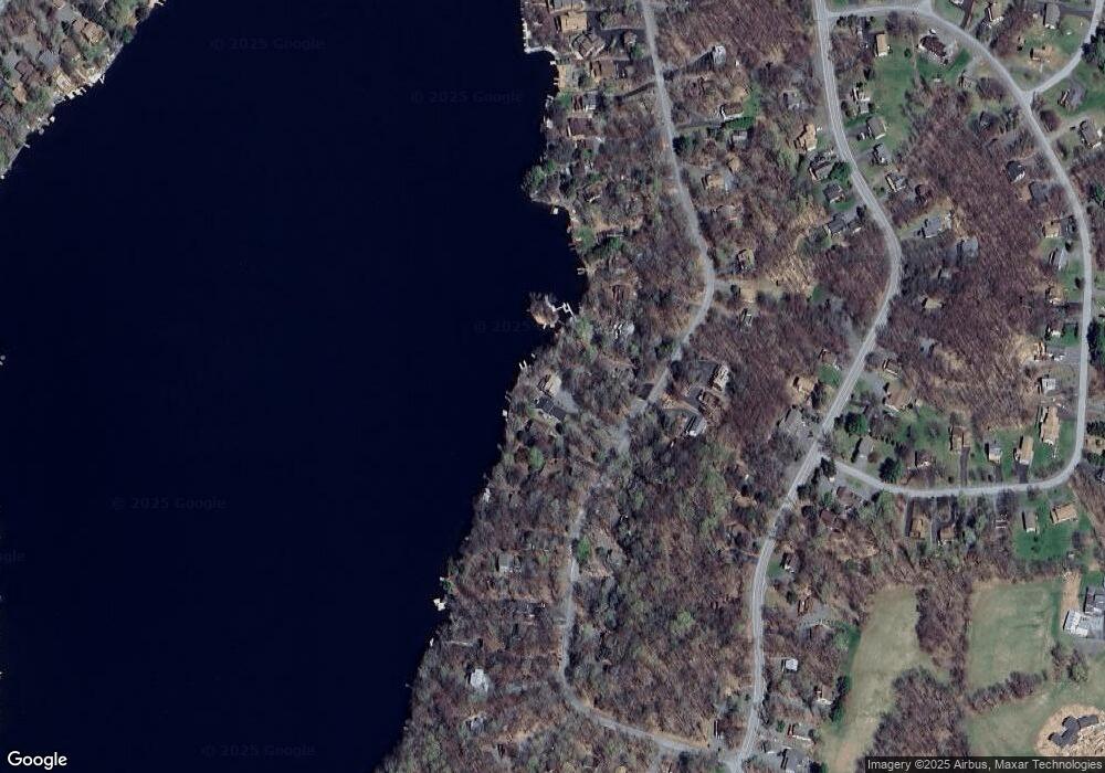
Map
Nearby Homes
- 46 Roamingwood Rd
- 34 Roamingwood Rd
- 9 Roamingwood Rd
- 56 Grandview Dr
- 8 Grandview Ct
- 34 Glenwood Ln
- 1244 Woodhill Ln
- 150 Windemere Ln
- 159 Windemere Ln
- 67 Windemere Ln
- 20 Windemere Ln
- 1526 Lakeview Dr W
- 71 Woodhill Ln
- 30 Brookfield Rd Unit Lot 1259
- 37 Antler Ln
- 59 Woodhill Ln
- 1749 Rockpoint Ct
- 1753 Rockpoint Ct
- 16 N Gate Ct S
- 646 Lakeview Dr W
- 2034 Roamingwood Rd
- 2036 Roamingwood Rd
- 2034 Reid Rd
- 2037 Roamingwood Rd
- 2031 Roamingwood Rd
- 2038 Roamingwood Rd
- 2038 Reid Rd
- 2039 Roamingwood Rd
- 2030 Roamingwood Rd
- 2009 Roamingwood Rd
- 2008 Roamingwood Rd
- 48 Roaming Wood Rd
- 2007 Roamingwood Rd
- 2011 Roamingwood Rd
- 2006 Roamingwood Rd
- 2029 Reid Rd
- 2029 Roamingwood Rd
- 2040 Roamingwood Rd
- 2041 Roamingwood Rd
- 2012 Reid Rd