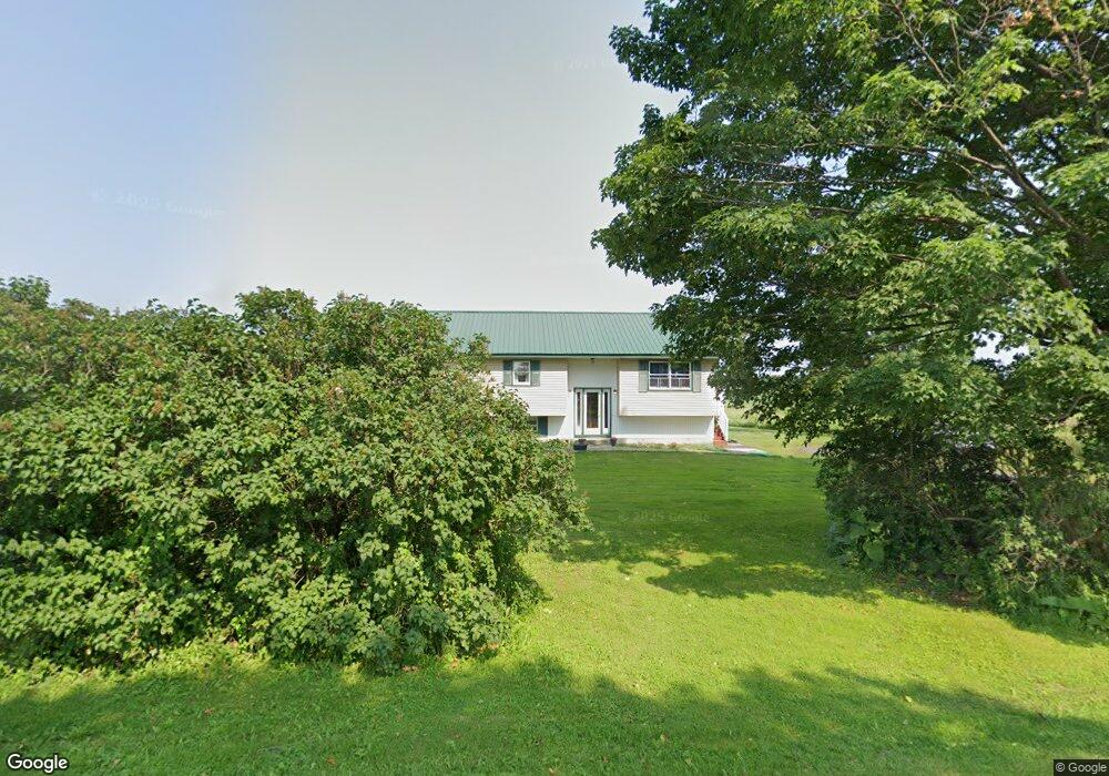
20350 Staplin Rd Black River, NY 13612
Estimated Value: $149,000
3
Beds
2
Baths
1,840
Sq Ft
$81/Sq Ft
Est. Value
About This Home
This home is located at 20350 Staplin Rd, Black River, NY 13612 and is currently estimated at $149,000, approximately $80 per square foot. 20350 Staplin Rd is a home located in Jefferson County with nearby schools including Copenhagen Central School.
Ownership History
Date
Name
Owned For
Owner Type
Purchase Details
Closed on
Sep 30, 2022
Sold by
Lyle Angela D
Bought by
Aubin Travis
Current Estimated Value
Purchase Details
Closed on
Feb 26, 2020
Sold by
Lyle Angela D
Bought by
Davidson Kimberly
Home Financials for this Owner
Home Financials are based on the most recent Mortgage that was taken out on this home.
Original Mortgage
$177,721
Interest Rate
3.5%
Mortgage Type
FHA
Purchase Details
Closed on
Aug 6, 2009
Sold by
Lyle Angela
Bought by
Tylerville Land Co Llc
Purchase Details
Closed on
Jan 30, 2007
Sold by
Garvin Estate Leo
Bought by
Lyle Angela
Create a Home Valuation Report for This Property
The Home Valuation Report is an in-depth analysis detailing your home's value as well as a comparison with similar homes in the area
Home Values in the Area
Average Home Value in this Area
Purchase History
| Date | Buyer | Sale Price | Title Company |
|---|---|---|---|
| Aubin Travis | $2,500 | None Listed On Document | |
| Davidson Kimberly | $181,000 | None Available | |
| Tylerville Land Co Llc | $150,000 | Earl Dunckel | |
| Lyle Angela | $110,000 | -- |
Source: Public Records
Mortgage History
| Date | Status | Borrower | Loan Amount |
|---|---|---|---|
| Previous Owner | Davidson Kimberly | $177,721 |
Source: Public Records
Tax History Compared to Growth
Tax History
| Year | Tax Paid | Tax Assessment Tax Assessment Total Assessment is a certain percentage of the fair market value that is determined by local assessors to be the total taxable value of land and additions on the property. | Land | Improvement |
|---|---|---|---|---|
| 2024 | $1,281 | $63,400 | $60,300 | $3,100 |
| 2023 | $1,286 | $63,400 | $60,300 | $3,100 |
| 2022 | $1,601 | $81,200 | $76,700 | $4,500 |
| 2021 | $1,614 | $81,200 | $76,700 | $4,500 |
| 2020 | $2,592 | $89,000 | $24,100 | $64,900 |
| 2019 | $3,632 | $73,000 | $19,300 | $53,700 |
| 2018 | $3,632 | $73,000 | $19,300 | $53,700 |
| 2017 | $2,407 | $73,000 | $19,300 | $53,700 |
| 2016 | $2,385 | $73,000 | $19,300 | $53,700 |
| 2015 | -- | $73,000 | $19,300 | $53,700 |
| 2014 | -- | $73,000 | $19,300 | $53,700 |
Source: Public Records
Map
Nearby Homes
- 20089 Miser Rd
- 19907 Miser Rd
- 28020 State Route 126
- 18595 Cr-161
- 108 Stafford Dr
- 0 Ridge Rd Unit S1602421
- 0 Burnup Rd Unit S1551724
- 29759 Burnup Rd
- 29721 Burnup Rd
- 29822/828 Nysrte 3
- 22415 Riverbend Dr E
- 22384 Riverbend Dr E
- 27598 State Route 3
- 29822 Nys Rte 3
- 27609 State Route 3
- 22503 Riverbend Dr E
- 104 Huntington St
- 22036 Riverbend Dr W
- 30944 Burnup Rd
- 108 W Remington St