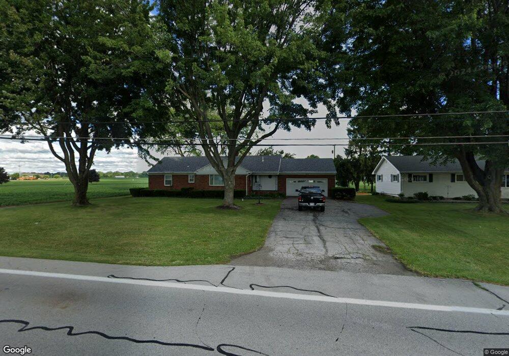
2036 N 5th St Fremont, OH 43420
Estimated Value: $180,000 - $236,000
3
Beds
2
Baths
1,526
Sq Ft
$133/Sq Ft
Est. Value
About This Home
This home is located at 2036 N 5th St, Fremont, OH 43420 and is currently estimated at $203,688, approximately $133 per square foot. 2036 N 5th St is a home located in Sandusky County with nearby schools including Fremont Ross High School, Bishop Hoffman Catholic School - This is St Joe's School now, and St. Joseph School.
Ownership History
Date
Name
Owned For
Owner Type
Purchase Details
Closed on
Jun 16, 2023
Sold by
2036 N5 Llc
Bought by
Robinson Mark and Robinson Elizabeth M
Current Estimated Value
Purchase Details
Closed on
Jan 8, 2021
Sold by
Hahn Robert Ray
Bought by
Hahn Geraldine J
Purchase Details
Closed on
Jul 28, 2020
Sold by
Hahn Geraldine J
Bought by
2036 N5 Llc
Purchase Details
Closed on
Oct 3, 2008
Sold by
Hahn Geraldine and Hahn Robert
Bought by
Trusty Debra L and Trusty Jeremiah J
Home Financials for this Owner
Home Financials are based on the most recent Mortgage that was taken out on this home.
Original Mortgage
$148,900
Interest Rate
5.94%
Mortgage Type
Seller Take Back
Purchase Details
Closed on
Feb 4, 2008
Sold by
Eberly Martin E
Bought by
Hahn Robert R and Hahn Geraldine J
Purchase Details
Closed on
Mar 1, 1992
Bought by
Hahn Robert R and Hahn Geraldine J
Create a Home Valuation Report for This Property
The Home Valuation Report is an in-depth analysis detailing your home's value as well as a comparison with similar homes in the area
Home Values in the Area
Average Home Value in this Area
Purchase History
| Date | Buyer | Sale Price | Title Company |
|---|---|---|---|
| Robinson Mark | -- | None Listed On Document | |
| Robinson Mark | -- | None Listed On Document | |
| Hahn Geraldine J | -- | -- | |
| 2036 N5 Llc | -- | None Listed On Document | |
| 2036 N5 Llc | -- | None Available | |
| Trusty Debra L | $149,500 | Attorney | |
| Hahn Robert R | $97,500 | Firelands Abstract | |
| Hahn Robert R | -- | -- |
Source: Public Records
Mortgage History
| Date | Status | Borrower | Loan Amount |
|---|---|---|---|
| Previous Owner | Trusty Debra L | $148,900 |
Source: Public Records
Tax History Compared to Growth
Tax History
| Year | Tax Paid | Tax Assessment Tax Assessment Total Assessment is a certain percentage of the fair market value that is determined by local assessors to be the total taxable value of land and additions on the property. | Land | Improvement |
|---|---|---|---|---|
| 2024 | $2,374 | $61,570 | $7,350 | $54,220 |
| 2023 | $2,374 | $49,250 | $5,880 | $43,370 |
| 2022 | $2,019 | $49,250 | $5,880 | $43,370 |
| 2021 | $2,082 | $49,250 | $5,880 | $43,370 |
| 2020 | $1,853 | $43,090 | $5,880 | $37,210 |
| 2019 | $1,850 | $43,090 | $5,880 | $37,210 |
| 2018 | $1,784 | $43,090 | $5,880 | $37,210 |
| 2017 | $1,714 | $39,690 | $5,880 | $33,810 |
| 2016 | $1,515 | $39,690 | $5,880 | $33,810 |
| 2015 | $1,491 | $39,690 | $5,880 | $33,810 |
| 2014 | $1,521 | $38,570 | $5,950 | $32,620 |
| 2013 | $1,490 | $38,570 | $5,950 | $32,620 |
Source: Public Records
Map
Nearby Homes
- 711 Bloom Rd
- 612 2nd St
- 263 Saint Paul Dr
- 533 Sandusky Ave Unit 535
- 251 Saint Paul Dr
- 315 Ethan Dr
- 318 Ethan Dr
- 1730 Port Clinton Rd Unit 41
- 1730 Port Clinton Rd
- 1730 Port Clinton Rd Unit 33
- 230 N Pennsylvania Ave
- 433 Sandusky Ave
- 199 Saint Thomas Dr
- 322 4th St
- 340 340 Sandusky Ave
- 714 E State St
- 224 Sandusky Ave Unit 226
- 2100 Ohio 53
- 2248 E State St
- 208 E State St
- 2042 N 5th St
- 2037 N 5th St
- 2037 N Fifth
- 2053 N 5th St
- 1608 Edwards Dr
- 2100 N 5th St
- 2021 N 5th St
- 1631 Edwards Dr
- 1532 Edwards Dr
- 1621 Edwards Dr
- 2001 N 5th St
- 1613 Edwards Dr
- 1607 Edwards Dr
- 1524 Edwards Dr
- 2119 N 5th St
- 1533 Edwards Dr
- 1525 Edwards Dr
- 2129 N 5th St
- 1508 Edwards Dr
- 2163 Us Highway 6 E