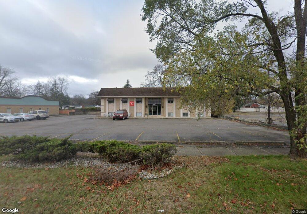
20361 Middlebelt Rd Livonia, MI 48152
Estimated Value: $815,878
--
Bed
1
Bath
6,840
Sq Ft
$119/Sq Ft
Est. Value
About This Home
This home is located at 20361 Middlebelt Rd, Livonia, MI 48152 and is currently estimated at $815,878, approximately $119 per square foot. 20361 Middlebelt Rd is a home located in Wayne County with nearby schools including Clarenceville High School, Grand River Academy, and Concordia Lutheran School.
Ownership History
Date
Name
Owned For
Owner Type
Purchase Details
Closed on
Jan 31, 2013
Bought by
Mahata Properties Llc
Current Estimated Value
Purchase Details
Closed on
Aug 27, 2009
Sold by
Brooke Investments Inc
Bought by
First National Bank Of Smith Center
Purchase Details
Closed on
May 15, 2006
Sold by
Larson Keith A and Larson Karen
Bought by
Brooke Investments Inc
Purchase Details
Closed on
Apr 13, 1999
Sold by
Dipaolo Mary
Bought by
Larson Karen
Create a Home Valuation Report for This Property
The Home Valuation Report is an in-depth analysis detailing your home's value as well as a comparison with similar homes in the area
Home Values in the Area
Average Home Value in this Area
Purchase History
| Date | Buyer | Sale Price | Title Company |
|---|---|---|---|
| Mahata Properties Llc | -- | None Available | |
| First National Bank Of Smith Center | $469,820 | None Available | |
| Brooke Investments Inc | $610,300 | Alpha Title Agency Inc | |
| Larson Karen | $362,500 | -- |
Source: Public Records
Tax History Compared to Growth
Tax History
| Year | Tax Paid | Tax Assessment Tax Assessment Total Assessment is a certain percentage of the fair market value that is determined by local assessors to be the total taxable value of land and additions on the property. | Land | Improvement |
|---|---|---|---|---|
| 2025 | $6,973 | $275,200 | $0 | $0 |
| 2024 | $6,973 | $252,900 | $0 | $0 |
| 2023 | $6,623 | $240,400 | $0 | $0 |
| 2022 | $8,853 | $219,500 | $0 | $0 |
| 2021 | $8,603 | $209,100 | $0 | $0 |
| 2019 | $8,363 | $201,500 | $0 | $0 |
| 2018 | $5,755 | $194,600 | $0 | $0 |
| 2017 | $4,775 | $192,300 | $0 | $0 |
| 2016 | $7,975 | $191,600 | $0 | $0 |
| 2015 | $14,224 | $177,480 | $0 | $0 |
| 2012 | -- | $236,800 | $101,920 | $134,880 |
Source: Public Records
Map
Nearby Homes
- 20352 Beatrice St
- 20280 Melvin St
- 29135 Scotten St
- 19921 Melvin St
- 29675 Nottingham Cir Unit 20
- 28418 W 8 Mile Rd Unit C1
- 28418 W 8 Mile Rd Unit A1
- 29700 Belfast St
- 20555 Angling St
- 20577 Angling St
- 28730 Grand River Ave
- 21304 Rockwell St
- 21221 Hamilton Ave
- Enclave Plan at Tuck Estates
- Columbia Plan at Tuck Estates
- Larch II Plan at Tuck Estates
- Madison Plan at Tuck Estates
- Peninsula Plan at Tuck Estates
- Oakhurst Plan at Tuck Estates
- Larch Plan at Tuck Estates
- 20361 Middlebelt Rd Unit 1
- 20361 Middlebelt Rd
- 20365 Middlebelt Rd
- 20318 Fremont St
- 20322 Fremont St
- 20314 Fremont St
- 20330 Fremont St
- 29500 Norfolk St
- 20385 Middlebelt Rd
- 29451 Morlock St
- 29451 Morlock St Unit MORLOCK
- 29424 Norfolk St
- 20386 Middlebelt Rd
- 29471 Morlock St
- 20300 Middlebelt Rd
- 20390 Middlebelt Rd
- 20317 Fremont St
- 20321 Fremont St
- 20313 Fremont St
- 20327 Fremont St