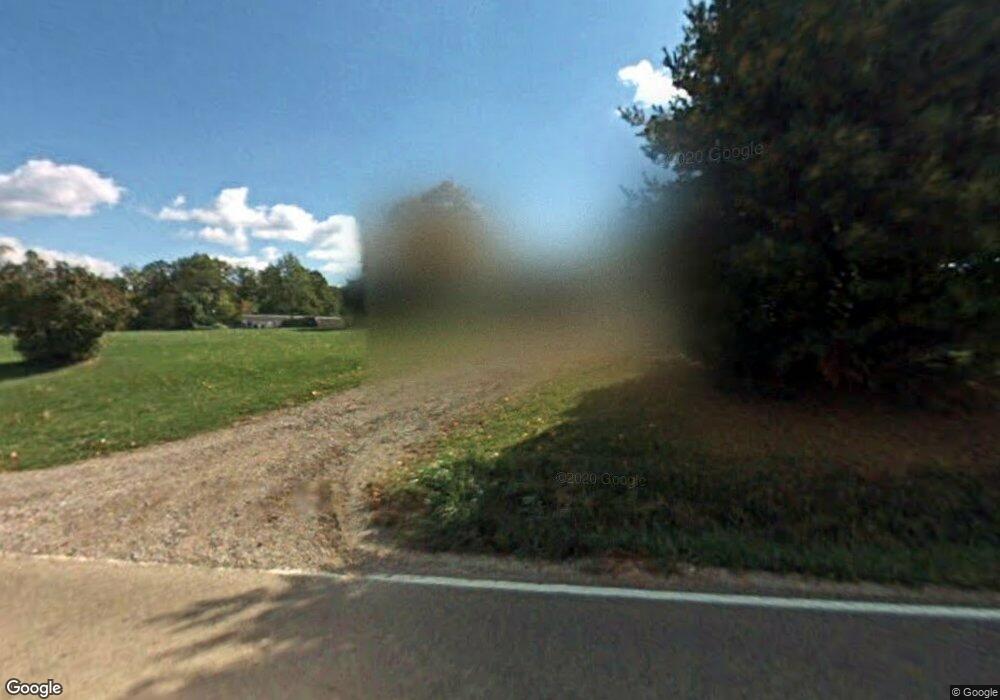
20362 State Route 278 SW Nelsonville, OH 45764
Estimated Value: $153,340 - $231,000
--
Bed
1
Bath
1,284
Sq Ft
$150/Sq Ft
Est. Value
About This Home
This home is located at 20362 State Route 278 SW, Nelsonville, OH 45764 and is currently estimated at $192,835, approximately $150 per square foot. 20362 State Route 278 SW is a home located in Hocking County with nearby schools including Union Furnace Elementary School.
Ownership History
Date
Name
Owned For
Owner Type
Purchase Details
Closed on
Mar 1, 2006
Sold by
Johnson Coon Denise F
Bought by
Johnson Harold A
Current Estimated Value
Home Financials for this Owner
Home Financials are based on the most recent Mortgage that was taken out on this home.
Original Mortgage
$32,650
Outstanding Balance
$18,485
Interest Rate
6.2%
Mortgage Type
Purchase Money Mortgage
Estimated Equity
$174,350
Purchase Details
Closed on
Jun 6, 2003
Bought by
Johnson, Harold A. Jr. 20362 St Rt 278
Create a Home Valuation Report for This Property
The Home Valuation Report is an in-depth analysis detailing your home's value as well as a comparison with similar homes in the area
Home Values in the Area
Average Home Value in this Area
Purchase History
| Date | Buyer | Sale Price | Title Company |
|---|---|---|---|
| Johnson Harold A | $43,533 | None Available | |
| Johnson, Harold A. Jr. 20362 St Rt 278 | $32,700 | -- |
Source: Public Records
Mortgage History
| Date | Status | Borrower | Loan Amount |
|---|---|---|---|
| Open | Johnson Harold A | $32,650 |
Source: Public Records
Tax History Compared to Growth
Tax History
| Year | Tax Paid | Tax Assessment Tax Assessment Total Assessment is a certain percentage of the fair market value that is determined by local assessors to be the total taxable value of land and additions on the property. | Land | Improvement |
|---|---|---|---|---|
| 2024 | $1,361 | $36,050 | $8,190 | $27,860 |
| 2023 | $1,361 | $36,050 | $8,190 | $27,860 |
| 2022 | $1,363 | $36,050 | $8,190 | $27,860 |
| 2021 | $1,226 | $30,380 | $6,830 | $23,550 |
| 2020 | $1,227 | $30,380 | $6,830 | $23,550 |
| 2019 | $1,227 | $30,380 | $6,830 | $23,550 |
| 2018 | $1,167 | $29,500 | $5,950 | $23,550 |
| 2017 | $1,145 | $29,500 | $5,950 | $23,550 |
| 2016 | $1,137 | $29,500 | $5,950 | $23,550 |
| 2015 | $1,164 | $29,070 | $5,730 | $23,340 |
| 2014 | $1,164 | $29,070 | $5,730 | $23,340 |
| 2013 | $1,163 | $29,070 | $5,730 | $23,340 |
Source: Public Records
Map
Nearby Homes
- 70 Whites
- 35 White Rd
- Lot 6 Sanner Rd
- 19366 Laurel Run Rd
- 38846 Karnes Rd
- 72699 2 Mile Rd
- 17687 Laurel Run Rd
- 15347 Ohio 278
- 19248 State Route 328
- 12981 Spice Lick Rd
- 518 W Franklin St
- 16980 Haydenville Rd
- 0 Dorr Run
- 0 Ohio 278
- 35619 Vickers Rd
- 218 W Franklin St
- 357 Adams St
- 190 Myers St
- 443 Chestnut St
- 474 Chestnut St
- 20280 State Route 278 SW
- 20400 Ohio 278
- 20400 State Route 278 SW
- 39666 White Rd
- 20223 State Route 278 SW
- 20522 State Route 278 SW
- 20429 State Route 278 SW
- 20127 State Route 278 SW
- 39825 White Rd
- 39825 White Rd
- 20010 State Route 278 SW
- 39855 White Rd
- 39901 White Rd
- 10 White Rd
- 25 White Rd
- 39200 Mcdaniel Rd
- 70 White Rd
- 70 White Rd
- 20055 Sanner Rd
- 39145 Mcdaniel Rd
