Estimated Value: $218,000 - $676,000
4
Beds
4
Baths
4,160
Sq Ft
$107/Sq Ft
Est. Value
About This Home
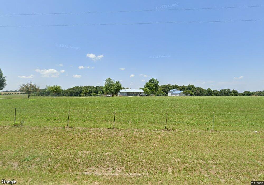
This home is located at 20364 State Highway Tt, Crane, MO 65633 and is currently estimated at $443,263, approximately $106 per square foot. 20364 State Highway Tt is a home located in Barry County with nearby schools including Pate Early Childhood Center, Robinson Elementary School, and Robinson Intermediate School.
Ownership History
Date
Name
Owned For
Owner Type
Purchase Details
Closed on
Aug 12, 2020
Sold by
Neal Kevin L and Neal Sherry
Bought by
Yardley Brandon and Yardley Shanda
Current Estimated Value
Home Financials for this Owner
Home Financials are based on the most recent Mortgage that was taken out on this home.
Original Mortgage
$212,121
Outstanding Balance
$188,166
Interest Rate
3%
Mortgage Type
USDA
Estimated Equity
$255,097
Create a Home Valuation Report for This Property
The Home Valuation Report is an in-depth analysis detailing your home's value as well as a comparison with similar homes in the area
Home Values in the Area
Average Home Value in this Area
Purchase History
| Date | Buyer | Sale Price | Title Company |
|---|---|---|---|
| Yardley Brandon | -- | Great American Title |
Source: Public Records
Mortgage History
| Date | Status | Borrower | Loan Amount |
|---|---|---|---|
| Open | Yardley Brandon | $212,121 |
Source: Public Records
Tax History Compared to Growth
Tax History
| Year | Tax Paid | Tax Assessment Tax Assessment Total Assessment is a certain percentage of the fair market value that is determined by local assessors to be the total taxable value of land and additions on the property. | Land | Improvement |
|---|---|---|---|---|
| 2025 | $1,699 | $38,907 | $1,914 | $36,993 |
| 2024 | $1,699 | $35,544 | $1,914 | $33,630 |
| 2023 | $1,699 | $35,544 | $1,914 | $33,630 |
| 2022 | $1,690 | $35,354 | $1,724 | $33,630 |
| 2021 | $1,675 | $34,974 | $1,344 | $33,630 |
| 2020 | $1,675 | $34,974 | $1,344 | $33,630 |
| 2018 | $1,650 | $34,998 | $1,368 | $33,630 |
| 2017 | $1,621 | $34,409 | $1,368 | $33,041 |
| 2016 | $1,453 | $30,742 | $1,178 | $29,564 |
| 2015 | -- | $30,742 | $1,178 | $29,564 |
| 2014 | -- | $33,240 | $3,580 | $29,660 |
| 2012 | -- | $0 | $0 | $0 |
Source: Public Records
Map
Nearby Homes
- Tract 2 Farm Road 1200
- 1757 Farm Road 1200
- 00 Farm Road 1200
- Tract 2 Farm Rd 1200
- 000 Farm Road 1200
- Tract 1 Farm Rd 2020 & 1200
- 00 Farm Road 1200
- 000 Lawrence 2195
- Tract 1 Farm Road 1200
- 19038 Farm Road 2020
- 16427 Farm Road 2007
- 3644 State Highway Ww
- 1967 Cattle Dr
- 4276 State Highway Ww
- 000 Farm Road 2000
- 000 Farm Road 1220
- 17196 Farm Road 2030
- 17250 State Highway Z
- 2949 State Highway Jj
- Tbd Farm Rd 1190
- 20311 State Highway Tt
- 20509 State Highway Tt
- 20268 Farm Road 2027
- 19618 Farm Road 2015
- 444 !Dnp! Farm
- 20474 Farm Road 2027
- 20100 Farm Road 2027
- 20679 State Highway Tt
- 20679 State Highway Tt
- 20057 Farm Road 2027
- 20648 Farm Road 2027
- 20723 State Highway Tt
- 3280 Farm Road 1200
- 20507 State Highway Tt
- 3095 Farm Road 1200
- 20780 State Highway Tt
- 20861 State Highway Tt
- 20515 State Highway Tt
- 22298 Private Rd
- 2262 Farm Road 1200