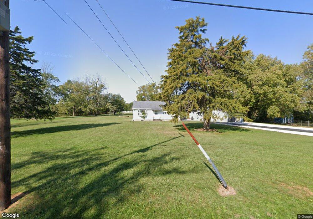
2037 Crossroads Rd Decatur, IL 62521
Estimated Value: $148,000 - $163,000
--
Bed
--
Bath
1,008
Sq Ft
$153/Sq Ft
Est. Value
About This Home
This home is located at 2037 Crossroads Rd, Decatur, IL 62521 and is currently estimated at $154,079, approximately $152 per square foot. 2037 Crossroads Rd is a home located in Macon County with nearby schools including South Shores Elementary School, Stephen Decatur Middle School, and Holy Family Catholic School.
Ownership History
Date
Name
Owned For
Owner Type
Purchase Details
Closed on
Mar 31, 2022
Sold by
Stickles John T and Stickles Wanda J
Bought by
Watts Kelly
Current Estimated Value
Home Financials for this Owner
Home Financials are based on the most recent Mortgage that was taken out on this home.
Original Mortgage
$129,609
Outstanding Balance
$121,313
Interest Rate
3.92%
Mortgage Type
New Conventional
Estimated Equity
$32,766
Create a Home Valuation Report for This Property
The Home Valuation Report is an in-depth analysis detailing your home's value as well as a comparison with similar homes in the area
Home Values in the Area
Average Home Value in this Area
Purchase History
| Date | Buyer | Sale Price | Title Company |
|---|---|---|---|
| Watts Kelly | $132,000 | None Listed On Document |
Source: Public Records
Mortgage History
| Date | Status | Borrower | Loan Amount |
|---|---|---|---|
| Open | Watts Kelly | $129,609 |
Source: Public Records
Tax History Compared to Growth
Tax History
| Year | Tax Paid | Tax Assessment Tax Assessment Total Assessment is a certain percentage of the fair market value that is determined by local assessors to be the total taxable value of land and additions on the property. | Land | Improvement |
|---|---|---|---|---|
| 2024 | $2,656 | $39,846 | $8,977 | $30,869 |
| 2023 | $2,415 | $36,295 | $8,977 | $27,318 |
| 2022 | $1,904 | $34,626 | $8,564 | $26,062 |
| 2021 | $1,720 | $32,941 | $8,147 | $24,794 |
| 2020 | $1,639 | $31,223 | $7,722 | $23,501 |
| 2019 | $1,639 | $31,223 | $7,722 | $23,501 |
| 2018 | $1,531 | $30,034 | $7,428 | $22,606 |
| 2017 | $1,491 | $29,754 | $7,359 | $22,395 |
| 2016 | $1,498 | $29,692 | $7,344 | $22,348 |
| 2015 | $1,373 | $28,827 | $7,130 | $21,697 |
| 2014 | $1,260 | $28,541 | $7,059 | $21,482 |
| 2013 | $1,261 | $28,541 | $7,059 | $21,482 |
Source: Public Records
Map
Nearby Homes
- 2951 Blackstone Dr
- 2207 Forest Crest Dr
- 1867 S Westgate Dr
- 445 S Wyckles Rd
- 356 S Wyckles Rd
- 3031 Heritage Rd
- 1739 Moorwood Dr
- 345 S Westdale Ave
- 15 Calumet Rd
- 468 N Megan Dr
- 231 S Redwood Ln
- 480 N Hillcrest Blvd
- 285 S Glencoe Ave
- 353 S Linden Ave
- 198 S Westdale Ave
- 2705 S Taylor Rd
- 215 S Glencoe Ave
- 1833 Burning Tree Dr
- 3316 Ferris Dr
- 2970 Olympia Dr
- 2017 Crossroads Rd
- 2075 Crossroads Rd
- 4015 W Rock Springs Rd
- 2107 Crossroads Rd
- 4010 W Rock Springs Rd
- 4025 W Rock Springs Rd
- 3980 W Rock Springs Rd
- 2141 Crossroads Rd
- 4020 W Rock Springs Rd
- 2140 Crossroads Rd
- 4085 W Rock Springs Rd
- 2030 Martin St
- 3885 W Rock Springs Rd
- 3887 Sanner Dr
- 2191 Crossroads Rd
- 3863 Sanner Dr
- 3865 W Rock Springs Rd
- 3857 Sanner Dr
- 3850 Sanner Dr
- 3910 W Rock Springs Rd