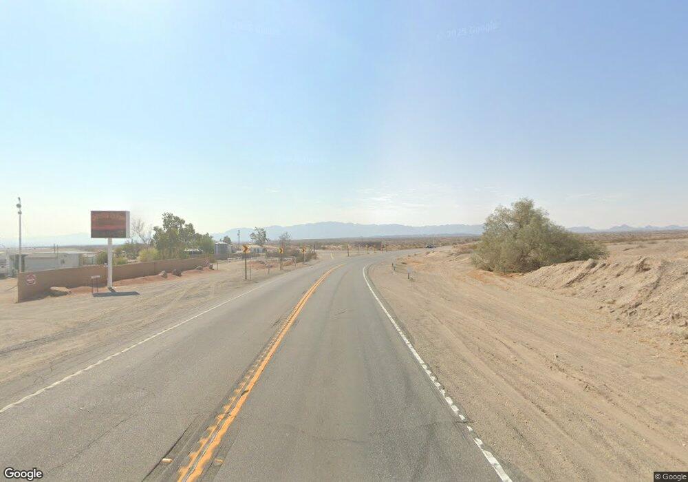
2037 Highway 95 Bullhead City, AZ 86442
Estimated Value: $2,209,248
--
Bed
--
Bath
10,774
Sq Ft
$205/Sq Ft
Est. Value
About This Home
This home is located at 2037 Highway 95, Bullhead City, AZ 86442 and is currently estimated at $2,209,248, approximately $205 per square foot. 2037 Highway 95 is a home located in Mohave County with nearby schools including Coyote Canyon School, Bullhead City Junior High School, and Mohave High School.
Ownership History
Date
Name
Owned For
Owner Type
Purchase Details
Closed on
May 28, 2025
Sold by
La Point Richard
Bought by
Arh Development Llc
Current Estimated Value
Home Financials for this Owner
Home Financials are based on the most recent Mortgage that was taken out on this home.
Original Mortgage
$2,070,000
Outstanding Balance
$2,064,634
Interest Rate
6.76%
Mortgage Type
Seller Take Back
Estimated Equity
$144,614
Purchase Details
Closed on
Aug 20, 2021
Sold by
La Point Richard
Bought by
La Point Richard and La Point Kelli E
Purchase Details
Closed on
Aug 30, 2011
Sold by
Robet Allen Forsythe Ltd Partnership
Bought by
Lapoint Richard
Create a Home Valuation Report for This Property
The Home Valuation Report is an in-depth analysis detailing your home's value as well as a comparison with similar homes in the area
Home Values in the Area
Average Home Value in this Area
Purchase History
| Date | Buyer | Sale Price | Title Company |
|---|---|---|---|
| Arh Development Llc | $2,200,000 | Pioneer Title Agency | |
| La Point Richard | -- | None Listed On Document | |
| Lapoint Richard | $400,000 | Pioneer Title Agency Inc |
Source: Public Records
Mortgage History
| Date | Status | Borrower | Loan Amount |
|---|---|---|---|
| Open | Arh Development Llc | $2,070,000 |
Source: Public Records
Tax History Compared to Growth
Tax History
| Year | Tax Paid | Tax Assessment Tax Assessment Total Assessment is a certain percentage of the fair market value that is determined by local assessors to be the total taxable value of land and additions on the property. | Land | Improvement |
|---|---|---|---|---|
| 2026 | -- | -- | -- | -- |
| 2025 | $1,898 | $119,230 | $0 | $0 |
| 2024 | $1,898 | $97,443 | $0 | $0 |
| 2023 | $1,898 | $74,721 | $0 | $0 |
| 2022 | $1,830 | $67,301 | $0 | $0 |
| 2021 | $1,843 | $63,031 | $0 | $0 |
| 2019 | $1,732 | $29,632 | $0 | $0 |
| 2018 | $1,685 | $29,350 | $0 | $0 |
| 2017 | $1,642 | $25,942 | $0 | $0 |
| 2016 | $1,489 | $25,594 | $0 | $0 |
| 2015 | $1,393 | $23,519 | $0 | $0 |
Source: Public Records
Map
Nearby Homes
- 1525 Turquoise Rd
- 1570 Turquoise Rd
- 1632 Shamrock Rd
- 1641 Turquoise Rd
- 1472 Summit Dr
- 1300 Ramar Rd
- 1662 Shamrock Rd
- 1675 Turquoise Rd
- 1641 Palma Cir W
- 1666 Monte Vista Dr
- 1307 Gemstone Ave
- 1629 Ramar Rd
- 1224 Silica Cir
- 1250 Jasper Ave
- 1266 Wilson Rd
- 1380 Lincoln Ln
- 1326 Agate Ave
- 1372 Lincoln Ln
- 1442 Verde Dr
- 1900 Highway 95
- 2037 Highway95
- 1383 Palma Plaza
- 2055 Highway 95
- 2025 Highway 95
- 2019 Highway 95
- 2019 Arizona 95
- 1380 Palma Plaza
- 2040 Highway 95
- 2040 Highway 95
- 2052 Highway 95
- 2065 Highway 95 Unit 55
- 2065 Highway 95 Unit 41-45
- 2065 Highway 95 Unit 61 & 65
- 2065 Highway 95 Unit 31
- 2065 Highway 95
- 2065 Highway 95 Unit 45
- 2065 Highway 95 Unit 5
- 2065 Highway 95 Unit 51
- 2065 Highway 95 Unit 61 & 65
- 2065 Highway 95 Unit 55
