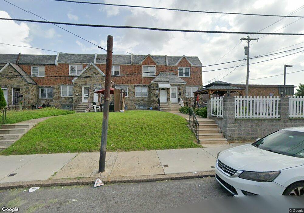
2037 Knorr St Philadelphia, PA 19149
Castor Gardens NeighborhoodEstimated Value: $226,000 - $256,000
3
Beds
2
Baths
1,174
Sq Ft
$200/Sq Ft
Est. Value
About This Home
This home is located at 2037 Knorr St, Philadelphia, PA 19149 and is currently estimated at $235,076, approximately $200 per square foot. 2037 Knorr St is a home located in Philadelphia County with nearby schools including Solomon Solis-Cohen School, Castor Gardens Middle School, and Northeast High School.
Ownership History
Date
Name
Owned For
Owner Type
Purchase Details
Closed on
Nov 6, 2009
Sold by
Cohen Mark E and Cohen Bernice L
Bought by
Tran Tran H H
Current Estimated Value
Home Financials for this Owner
Home Financials are based on the most recent Mortgage that was taken out on this home.
Original Mortgage
$75,000
Outstanding Balance
$48,922
Interest Rate
4.98%
Mortgage Type
New Conventional
Estimated Equity
$186,154
Create a Home Valuation Report for This Property
The Home Valuation Report is an in-depth analysis detailing your home's value as well as a comparison with similar homes in the area
Home Values in the Area
Average Home Value in this Area
Purchase History
| Date | Buyer | Sale Price | Title Company |
|---|---|---|---|
| Tran Tran H H | $113,000 | None Available |
Source: Public Records
Mortgage History
| Date | Status | Borrower | Loan Amount |
|---|---|---|---|
| Open | Tran Tran H H | $75,000 |
Source: Public Records
Tax History Compared to Growth
Tax History
| Year | Tax Paid | Tax Assessment Tax Assessment Total Assessment is a certain percentage of the fair market value that is determined by local assessors to be the total taxable value of land and additions on the property. | Land | Improvement |
|---|---|---|---|---|
| 2025 | $2,619 | $232,800 | $46,560 | $186,240 |
| 2024 | $2,619 | $232,800 | $46,560 | $186,240 |
| 2023 | $2,619 | $187,100 | $37,420 | $149,680 |
| 2022 | $1,296 | $142,100 | $37,420 | $104,680 |
| 2021 | $1,926 | $0 | $0 | $0 |
| 2020 | $1,926 | $0 | $0 | $0 |
| 2019 | $1,848 | $0 | $0 | $0 |
| 2018 | $1,755 | $0 | $0 | $0 |
| 2017 | $1,755 | $0 | $0 | $0 |
| 2016 | $1,335 | $0 | $0 | $0 |
| 2015 | $1,278 | $0 | $0 | $0 |
| 2014 | -- | $125,400 | $33,136 | $92,264 |
| 2012 | -- | $15,968 | $1,841 | $14,127 |
Source: Public Records
Map
Nearby Homes
- 6725 Eastwood St
- 2119 Glenview St
- 2110 Longshore Ave
- 6826 Sylvester St
- 6627 Oakland St
- 2169 Knorr St
- 6621 Sylvester St
- 6640 Souder St
- 6829 Horrocks St
- 2241 Knorr St
- 2249 Knorr St
- 2248 Disston St
- 6834 Large St
- 6739 Lynford St
- 6827 Lynford St
- 2257 Disston St
- 1535 Hellerman St
- 2140 Princeton Ave
- 2162 Princeton Ave
- 6749 E Roosevelt Blvd
- 2035 Knorr St
- 2039 Knorr St
- 2033 Knorr St
- 2031 Knorr St
- 2029 Knorr St
- 2027 Knorr St
- 2025 Knorr St
- 2023 Knorr St
- 6820 Bustleton Ave
- 2030 Glenview St
- 2034 Glenview St
- 2032 Glenview St
- 6822 Bustleton Ave
- 2028 Glenview St
- 2021 Knorr St
- 2026 Glenview St
- 6824 Bustleton Ave
- 2019 Knorr St
- 2024 Glenview St
- 6755 Akron St