Estimated Value: $76,530 - $159,000
--
Bed
1
Bath
1,114
Sq Ft
$108/Sq Ft
Est. Value
About This Home
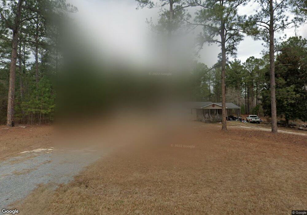
This home is located at 2037 Midas Brantley Rd, Kite, GA 31049 and is currently estimated at $120,133, approximately $107 per square foot. 2037 Midas Brantley Rd is a home with nearby schools including Johnson County Elementary School, Johnson County Middle School, and Johnson County High School.
Ownership History
Date
Name
Owned For
Owner Type
Purchase Details
Closed on
Apr 28, 2017
Sold by
Tanner Braxton B
Bought by
Rowland Bryson Laine
Current Estimated Value
Home Financials for this Owner
Home Financials are based on the most recent Mortgage that was taken out on this home.
Original Mortgage
$61,946
Interest Rate
4.14%
Mortgage Type
New Conventional
Purchase Details
Closed on
Apr 30, 2007
Sold by
Norris Tommy W
Bought by
Tanner Braxton B
Purchase Details
Closed on
Aug 12, 2002
Sold by
Blount Melinda and Mcdonald Joan
Bought by
Norris Tommy W
Purchase Details
Closed on
Jan 25, 2002
Sold by
Josey John S
Bought by
Blount Melinda and Mcdonald Joan
Create a Home Valuation Report for This Property
The Home Valuation Report is an in-depth analysis detailing your home's value as well as a comparison with similar homes in the area
Home Values in the Area
Average Home Value in this Area
Purchase History
| Date | Buyer | Sale Price | Title Company |
|---|---|---|---|
| Rowland Bryson Laine | $60,000 | -- | |
| Tanner Braxton B | $65,000 | -- | |
| Norris Tommy W | $5,000 | -- | |
| Blount Melinda | -- | -- |
Source: Public Records
Mortgage History
| Date | Status | Borrower | Loan Amount |
|---|---|---|---|
| Closed | Rowland Bryson Laine | $61,946 |
Source: Public Records
Tax History Compared to Growth
Tax History
| Year | Tax Paid | Tax Assessment Tax Assessment Total Assessment is a certain percentage of the fair market value that is determined by local assessors to be the total taxable value of land and additions on the property. | Land | Improvement |
|---|---|---|---|---|
| 2024 | $756 | $26,165 | $913 | $25,252 |
| 2023 | $752 | $26,165 | $913 | $25,252 |
| 2022 | $730 | $25,393 | $913 | $24,480 |
| 2021 | $604 | $20,593 | $913 | $19,680 |
| 2020 | $632 | $20,593 | $913 | $19,680 |
| 2019 | $616 | $20,049 | $913 | $19,136 |
| 2018 | $588 | $20,049 | $913 | $19,136 |
| 2017 | $615 | $20,049 | $913 | $19,136 |
| 2016 | $588 | $20,049 | $913 | $19,136 |
| 2015 | -- | $22,113 | $913 | $21,200 |
| 2014 | -- | $22,113 | $913 | $21,200 |
| 2013 | -- | $22,113 | $913 | $21,200 |
Source: Public Records
Map
Nearby Homes
- 53 Averett St
- 55 Hatcher St
- 2195 Montgomery St
- 728 Martin Rd
- 0 Sardis Church Rd Unit 10601519
- 22 Jl Price Rd
- 0 Trinity Church Rd
- 546 Alton Lawson Rd
- 600 Alton Lawson Rd
- 400 Alton Lawson Rd
- 503 Alton Lawson Rd
- 0 Alton Lawson Rd
- 0 Asa Lindsey Rd Unit 10595336
- 0 Asa Lindsey Rd Unit 25496504
- 92 Paul Lord Rd
- 87 Georgia Ave
- 0 Smith Rd
- 223 Kersey Rd
- 0 Liberty Grove Church Rd Unit 10640718
- 0 Walden Way Unit 10601502
- 1937 Midas Brantley Rd
- 151 Midas Brantley Rd
- 2139 Midas Brantley Rd
- 135 Winfrey Rd
- 2322 Midas Brantley Rd
- 283 Hodo Rd
- 550 Bobby Fortner Rd
- 1 Bobby Fortner Rd
- 1 Hill Salter Rd
- 871 Bobby Fortner Rd
- 629 Bobby Fortner Rd
- 555 Hodo Rd
- 289 Winfrey Rd
- 127 Winfrey Rd
- 2405 Midas Brantley Rd
- 344 Bobby Fortner Rd
- 308 Bobby Fortner Rd