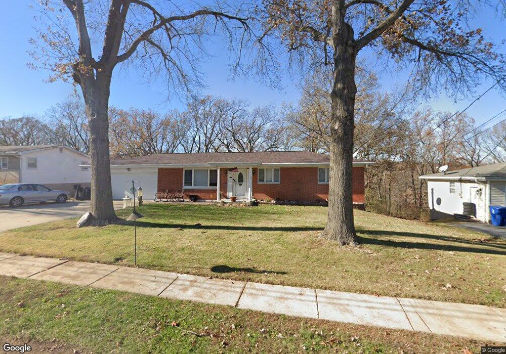
2037 Sunswept Ln High Ridge, MO 63049
Estimated Value: $239,150 - $277,000
3
Beds
2
Baths
1,056
Sq Ft
$243/Sq Ft
Est. Value
About This Home
This home is located at 2037 Sunswept Ln, High Ridge, MO 63049 and is currently estimated at $256,288, approximately $242 per square foot. 2037 Sunswept Ln is a home located in Jefferson County with nearby schools including Northwest High School, St. Anthony School, and Messenger Christian School.
Ownership History
Date
Name
Owned For
Owner Type
Purchase Details
Closed on
Oct 5, 2012
Sold by
Syers Janey N
Bought by
Strange Michael R and Strange Melodie C
Current Estimated Value
Home Financials for this Owner
Home Financials are based on the most recent Mortgage that was taken out on this home.
Original Mortgage
$120,772
Outstanding Balance
$83,077
Interest Rate
3.37%
Mortgage Type
FHA
Estimated Equity
$173,211
Create a Home Valuation Report for This Property
The Home Valuation Report is an in-depth analysis detailing your home's value as well as a comparison with similar homes in the area
Home Values in the Area
Average Home Value in this Area
Purchase History
| Date | Buyer | Sale Price | Title Company |
|---|---|---|---|
| Strange Michael R | -- | None Available |
Source: Public Records
Mortgage History
| Date | Status | Borrower | Loan Amount |
|---|---|---|---|
| Open | Strange Michael R | $120,772 |
Source: Public Records
Tax History
| Year | Tax Paid | Tax Assessment Tax Assessment Total Assessment is a certain percentage of the fair market value that is determined by local assessors to be the total taxable value of land and additions on the property. | Land | Improvement |
|---|---|---|---|---|
| 2025 | $1,415 | $21,200 | $1,900 | $19,300 |
| 2024 | $1,415 | $19,600 | $1,900 | $17,700 |
| 2023 | $1,415 | $19,600 | $1,900 | $17,700 |
| 2022 | $1,409 | $19,600 | $1,900 | $17,700 |
| 2021 | $1,400 | $19,600 | $1,900 | $17,700 |
| 2020 | $1,281 | $17,500 | $1,600 | $15,900 |
| 2019 | $1,279 | $17,500 | $1,600 | $15,900 |
| 2018 | $1,296 | $17,500 | $1,600 | $15,900 |
| 2017 | $1,184 | $17,500 | $1,600 | $15,900 |
| 2016 | $1,065 | $15,600 | $1,700 | $13,900 |
Source: Public Records
Map
Nearby Homes
- 2108 Hillsboro Valley Park Rd
- 2200 Dillon Rd
- 2135 Linnus Dr
- 2149 Linnus Dr
- 2233 Appaloosa Trail
- 151 Brandy Mill Cir Unit F
- 147 Brandy Mill Cir Unit B
- 0 Mikel Ln
- 104 Brandy Mill Cir Unit A
- 2060 Hillsboro Valley Park Rd
- 1636 S Golden Cir
- 1628 S Golden Cir
- 1641 S Golden Cir
- 2540 Plymouth Dr
- 2549 Plymouth Dr
- 4824 E Golden Cir
- 0 3 Lot Blk 2 High Ridge Manor Unit MAR24044893
- 1635 Rockfern Dr
- 18 Hawk Ct
- 2301 Fairway
- 2033 Sunswept Ln
- 2041 Sunswept Ln
- 2029 Sunswept Ln
- 2036 Sunswept Ln
- 2045 Sunswept Ln
- 2040 Sunswept Ln
- 2032 Sunswept Ln
- 2025 Sunswept Ln
- 2044 Sunswept Ln
- 2028 Sunswept Ln
- 2101 Sunswept Ln
- 2024 Sunswept Ln
- 2048 Sunswept Ln
- 2021 Sunswept Ln
- 2100 Sunswept Ln
- 2105 Sunswept Ln
- 2017 Sunswept Ln
- 2105 Wildwind Ln
- 2020 Sunswept Ln
- 2104 Sunswept Ln
Your Personal Tour Guide
Ask me questions while you tour the home.