Estimated Value: $414,000 - $451,000
4
Beds
1
Bath
1,134
Sq Ft
$381/Sq Ft
Est. Value
About This Home
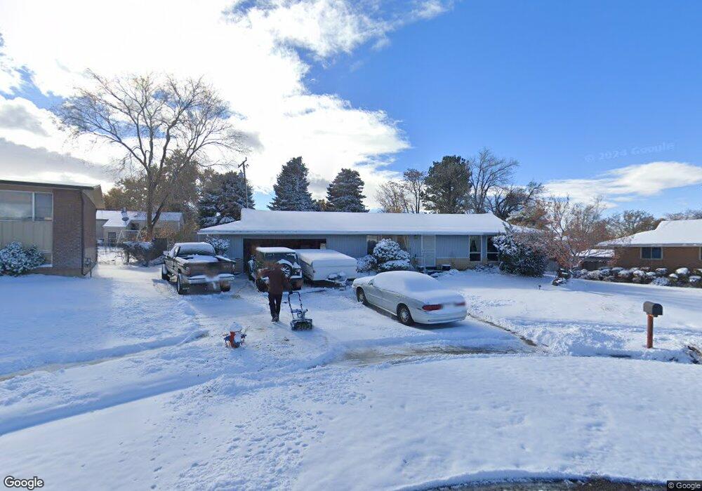
This home is located at 2037 W 3875 S, Roy, UT 84067 and is currently estimated at $431,878, approximately $380 per square foot. 2037 W 3875 S is a home located in Weber County with nearby schools including North Park School, Sand Ridge Junior High School, and Roy High School.
Ownership History
Date
Name
Owned For
Owner Type
Purchase Details
Closed on
Jul 15, 2016
Bought by
Madsen Richard William
Current Estimated Value
Home Financials for this Owner
Home Financials are based on the most recent Mortgage that was taken out on this home.
Original Mortgage
$181,649
Outstanding Balance
$144,258
Interest Rate
3.42%
Estimated Equity
$287,620
Purchase Details
Closed on
Nov 5, 2010
Sold by
Odow Richard H and Odow Hana I
Bought by
Odow Richard H and Odow Hana I
Create a Home Valuation Report for This Property
The Home Valuation Report is an in-depth analysis detailing your home's value as well as a comparison with similar homes in the area
Home Values in the Area
Average Home Value in this Area
Purchase History
| Date | Buyer | Sale Price | Title Company |
|---|---|---|---|
| Madsen Richard William | -- | -- | |
| Odow Richard H | -- | None Available |
Source: Public Records
Mortgage History
| Date | Status | Borrower | Loan Amount |
|---|---|---|---|
| Open | Madsen Richard William | $181,649 | |
| Closed | Madsen Richard William | -- |
Source: Public Records
Tax History Compared to Growth
Tax History
| Year | Tax Paid | Tax Assessment Tax Assessment Total Assessment is a certain percentage of the fair market value that is determined by local assessors to be the total taxable value of land and additions on the property. | Land | Improvement |
|---|---|---|---|---|
| 2025 | $2,732 | $431,119 | $134,537 | $296,582 |
| 2024 | $2,668 | $233,199 | $74,058 | $159,141 |
| 2023 | $2,464 | $214,500 | $64,847 | $149,653 |
| 2022 | $2,504 | $224,400 | $56,529 | $167,871 |
| 2021 | $2,081 | $306,000 | $72,304 | $233,696 |
| 2020 | $1,882 | $253,000 | $72,304 | $180,696 |
| 2019 | $1,943 | $248,000 | $45,909 | $202,091 |
| 2018 | $1,782 | $213,000 | $40,789 | $172,211 |
| 2017 | $1,687 | $189,000 | $38,724 | $150,276 |
| 2016 | $1,571 | $94,238 | $14,951 | $79,287 |
| 2015 | $1,358 | $82,339 | $18,324 | $64,015 |
| 2014 | $1,345 | $80,705 | $18,324 | $62,381 |
Source: Public Records
Map
Nearby Homes
- 3923 S 1975 W Unit 15
- 1910 W 3920 S
- 2050 W 4000 S
- 1959 3985 St S Unit 2
- 3854 S 1925 W
- 2096 W 3950 S
- 2070 W 4000 S
- 3965 S 2225 W
- 3800 S 1900 W Unit 28
- 3800 S 1900 W Unit 64
- 3800 S 1900 W Unit 66
- 3800 S 1900 W Unit 89
- 3800 S 1900 W Unit 295
- 3800 S 1900 W Unit 241
- 3800 S 1900 W Unit 133
- 3800 S 1900 W Unit 72
- 4073 S 2175 W
- 4205 S 2075 W
- 4110 S 2275 W
- 4220 S 2075 W