Estimated Value: $220,000 - $226,272
3
Beds
2
Baths
1,120
Sq Ft
$198/Sq Ft
Est. Value
About This Home
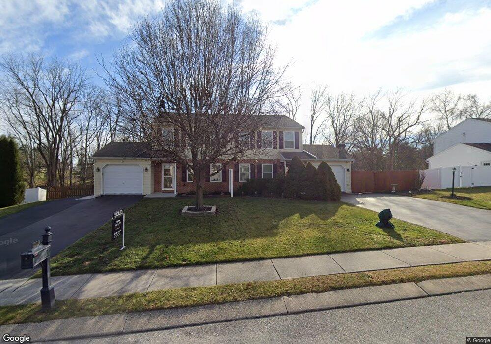
This home is located at 2037 Wyatt Cir, Dover, PA 17315 and is currently estimated at $221,568, approximately $197 per square foot. 2037 Wyatt Cir is a home located in York County with nearby schools including Dover Area High School and Lighthouse Christian School.
Ownership History
Date
Name
Owned For
Owner Type
Purchase Details
Closed on
Oct 29, 1999
Sold by
Wandering Streams Inc
Bought by
Sturgill Elisabeth B
Current Estimated Value
Home Financials for this Owner
Home Financials are based on the most recent Mortgage that was taken out on this home.
Original Mortgage
$87,800
Outstanding Balance
$26,763
Interest Rate
7.73%
Mortgage Type
FHA
Estimated Equity
$194,805
Purchase Details
Closed on
Jun 18, 1997
Bought by
Bonsell Donald L and Bonsell Irene E
Create a Home Valuation Report for This Property
The Home Valuation Report is an in-depth analysis detailing your home's value as well as a comparison with similar homes in the area
Home Values in the Area
Average Home Value in this Area
Purchase History
| Date | Buyer | Sale Price | Title Company |
|---|---|---|---|
| Sturgill Elisabeth B | $87,900 | First American Title Ins Co | |
| Bonsell Donald L | $216,000 | -- |
Source: Public Records
Mortgage History
| Date | Status | Borrower | Loan Amount |
|---|---|---|---|
| Open | Sturgill Elisabeth B | $87,800 |
Source: Public Records
Tax History Compared to Growth
Tax History
| Year | Tax Paid | Tax Assessment Tax Assessment Total Assessment is a certain percentage of the fair market value that is determined by local assessors to be the total taxable value of land and additions on the property. | Land | Improvement |
|---|---|---|---|---|
| 2025 | $3,092 | $94,260 | $25,550 | $68,710 |
| 2024 | $3,064 | $94,260 | $25,550 | $68,710 |
| 2023 | $3,064 | $94,260 | $25,550 | $68,710 |
| 2022 | $3,008 | $94,260 | $25,550 | $68,710 |
| 2021 | $2,838 | $94,260 | $25,550 | $68,710 |
| 2020 | $2,813 | $94,260 | $25,550 | $68,710 |
| 2019 | $2,778 | $94,260 | $25,550 | $68,710 |
| 2018 | $2,708 | $94,260 | $25,550 | $68,710 |
| 2017 | $2,708 | $94,260 | $25,550 | $68,710 |
| 2016 | $0 | $94,260 | $25,550 | $68,710 |
| 2015 | -- | $94,260 | $25,550 | $68,710 |
| 2014 | -- | $94,260 | $25,550 | $68,710 |
Source: Public Records
Map
Nearby Homes
- 1841 Wyatt Cir
- 2031 Park St
- 1951 Park St
- 1919 Deerfield Dr
- 4021 Country Dr
- 119 Cedar Dr
- 4008 Country Dr
- 46 Chipawa Ave
- 86 Cherokee Ave
- 143 Pawnee Ave
- 140 Pawnee Ave
- 3851 Country Dr
- 3847 Country Dr
- 3836 Country Dr
- 4160 Leah Ave
- 0 W Canal Rd
- 3510 Carlisle Rd
- 2602 Brownstone Dr
- 2113 Huntington Rd
- 3756 Fox Chase Dr