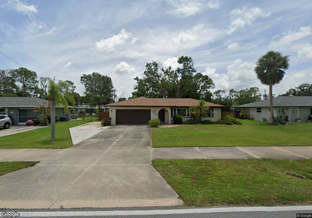
20377 Quesada Ave Port Charlotte, FL 33952
Estimated Value: $223,603 - $273,000
2
Beds
2
Baths
1,356
Sq Ft
$183/Sq Ft
Est. Value
About This Home
This home is located at 20377 Quesada Ave, Port Charlotte, FL 33952 and is currently estimated at $247,651, approximately $182 per square foot. 20377 Quesada Ave is a home located in Charlotte County with nearby schools including Neil Armstrong Elementary School, Murdock Middle School, and Port Charlotte High School.
Ownership History
Date
Name
Owned For
Owner Type
Purchase Details
Closed on
Jun 20, 2022
Sold by
Stark Richard D
Bought by
Richard D Stark Revocable Trust
Current Estimated Value
Purchase Details
Closed on
Nov 12, 2004
Sold by
Grim Evangeline J
Bought by
Stark Richard D
Purchase Details
Closed on
Apr 15, 1998
Sold by
Razvoza Richard J and Razvoza Nancy A
Bought by
Grim Evangeline J
Home Financials for this Owner
Home Financials are based on the most recent Mortgage that was taken out on this home.
Original Mortgage
$45,000
Interest Rate
7.14%
Create a Home Valuation Report for This Property
The Home Valuation Report is an in-depth analysis detailing your home's value as well as a comparison with similar homes in the area
Home Values in the Area
Average Home Value in this Area
Purchase History
| Date | Buyer | Sale Price | Title Company |
|---|---|---|---|
| Richard D Stark Revocable Trust | -- | Backo Jeffrey M | |
| Richard D Stark Revocable Trust | $100 | Backo Jeffrey M | |
| Stark Richard D | $130,000 | Aaction Title Agency Inc | |
| Grim Evangeline J | $67,000 | -- |
Source: Public Records
Mortgage History
| Date | Status | Borrower | Loan Amount |
|---|---|---|---|
| Previous Owner | Grim Evangeline J | $45,000 |
Source: Public Records
Tax History Compared to Growth
Tax History
| Year | Tax Paid | Tax Assessment Tax Assessment Total Assessment is a certain percentage of the fair market value that is determined by local assessors to be the total taxable value of land and additions on the property. | Land | Improvement |
|---|---|---|---|---|
| 2024 | $1,253 | $72,655 | -- | -- |
| 2023 | $1,253 | $70,539 | $0 | $0 |
| 2022 | $1,202 | $68,484 | $0 | $0 |
| 2021 | $1,199 | $66,489 | $0 | $0 |
| 2020 | $1,166 | $65,571 | $0 | $0 |
| 2019 | $1,101 | $64,097 | $0 | $0 |
| 2018 | $1,012 | $62,902 | $0 | $0 |
| 2017 | $1,007 | $61,608 | $0 | $0 |
| 2016 | $1,005 | $60,341 | $0 | $0 |
| 2015 | $988 | $59,922 | $0 | $0 |
| 2014 | $968 | $59,446 | $0 | $0 |
Source: Public Records
Map
Nearby Homes
- 1366 Preston St
- 1302 Arrow St
- 20284 Emerald Ave
- 20330 Emerald Ave
- 1317 Arrow St
- 20430 Sapling Ave
- 1358 Fargo St
- 1381 Fargo St
- 1357 Nimrod St
- 1181 Oxsalida St
- 20431 Stardust Ave
- 20307 Zelda Ave
- 1170 Peppertree Ln
- 1196 Hinton St
- 1160 Peppertree Ln
- 20297 Kinderkemac Ave
- 20296 Rutherford Ave
- 20190 Rutherford Ave
- 20260 Tralee Dr
- 20347 Mount Prospect Ave
- 20385 Quesada Ave
- 20369 Quesada Ave
- 20378 Emerald Ave
- 20386 Emerald Ave
- 20370 Emerald Ave
- 20393 Quesada Ave
- 20361 Quesada Ave
- 20362 Emerald Ave
- 20401 Quesada Ave
- 1310 Preston St Unit 2696507-2805
- 1326 Preston St
- 1293 Preston St
- 1271 Peppertree Ln
- 20354 Emerald Ave
- 1262 Lyle St
- 1294 Preston St
- 1294 Street
- 20409 Quesada Ave
- 20345 Quesada Ave