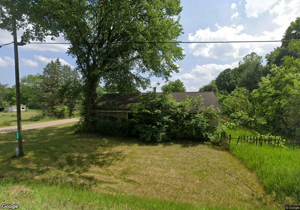
2038 101st Ave Otsego, MI 49078
Estimated Value: $147,900 - $257,000
3
Beds
1
Bath
1,089
Sq Ft
$168/Sq Ft
Est. Value
About This Home
This home is located at 2038 101st Ave, Otsego, MI 49078 and is currently estimated at $183,475, approximately $168 per square foot. 2038 101st Ave is a home located in Allegan County with nearby schools including Otsego High School, St. Margaret School, and Otsego Christian Academy.
Ownership History
Date
Name
Owned For
Owner Type
Purchase Details
Closed on
Mar 21, 2006
Sold by
Conrad Terri L and Estate Of Leanne S King
Bought by
Hill Vicki
Current Estimated Value
Home Financials for this Owner
Home Financials are based on the most recent Mortgage that was taken out on this home.
Original Mortgage
$60,000
Outstanding Balance
$42,902
Interest Rate
11.2%
Mortgage Type
Purchase Money Mortgage
Estimated Equity
$140,573
Create a Home Valuation Report for This Property
The Home Valuation Report is an in-depth analysis detailing your home's value as well as a comparison with similar homes in the area
Home Values in the Area
Average Home Value in this Area
Purchase History
| Date | Buyer | Sale Price | Title Company |
|---|---|---|---|
| Hill Vicki | $60,000 | Devon |
Source: Public Records
Mortgage History
| Date | Status | Borrower | Loan Amount |
|---|---|---|---|
| Open | Hill Vicki | $60,000 |
Source: Public Records
Tax History
| Year | Tax Paid | Tax Assessment Tax Assessment Total Assessment is a certain percentage of the fair market value that is determined by local assessors to be the total taxable value of land and additions on the property. | Land | Improvement |
|---|---|---|---|---|
| 2025 | $1,025 | $59,000 | $5,400 | $53,600 |
| 2024 | $870 | $52,100 | $5,400 | $46,700 |
| 2023 | $885 | $44,900 | $5,200 | $39,700 |
| 2022 | $870 | $40,800 | $5,000 | $35,800 |
| 2021 | $815 | $37,500 | $4,600 | $32,900 |
| 2020 | $814 | $35,200 | $4,200 | $31,000 |
| 2019 | $779 | $31,500 | $3,300 | $28,200 |
| 2018 | $727 | $33,000 | $4,900 | $28,100 |
| 2017 | $0 | $32,400 | $3,500 | $28,900 |
| 2016 | $0 | $28,300 | $3,500 | $24,800 |
| 2015 | -- | $28,300 | $3,500 | $24,800 |
| 2014 | $799 | $26,600 | $3,300 | $23,300 |
| 2013 | $799 | $22,400 | $4,000 | $18,400 |
Source: Public Records
Map
Nearby Homes
- 70 20th St
- 2222 101st Ave
- 1660 Aspen Trail
- 0 Briarwood St Unit 25002251
- 1655 Aspen Trail
- 1648 Aspen Trail
- 1644 Aspen Trail
- 1639 Aspen Trail
- 1636 Aspen Trail
- 1868 Jefferson Rd
- Integrity 1880 Plan at Southpointe Trails
- Integrity 1910 Plan at Southpointe Trails
- Integrity 1250 Plan at Southpointe Trails
- Integrity 1750 Plan at Southpointe Trails
- Integrity 2000 Plan at Southpointe Trails
- Elements 2100 Plan at Southpointe Trails
- Elements 2700 Plan at Southpointe Trails
- Integrity 1560 Plan at Southpointe Trails
- Elements 2070 Plan at Southpointe Trails
- integrity 2280 Plan at Southpointe Trails
- 2020 101st Ave
- 2039 101st Ave
- 2024 101st Ave
- 2045 101st Ave
- Par 1 101st St
- 2040 101st Ave
- 109 21st St
- 2042 101st Ave
- 97 Johnson Rd
- 2048 101st Ave
- 2104 Westfield Ln
- 2064 101st Ave
- 2012 101st Ave
- 88 20th St
- 2103 Westfield Ln
- 2105 Westfield Ln Unit 10
- 123 21st St
- 2111 Westfield Ln
- 2004 101st Ave
- 64 20th St
Your Personal Tour Guide
Ask me questions while you tour the home.