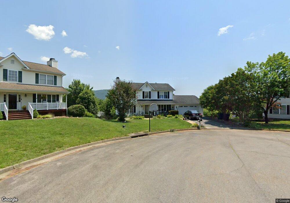
2038 Bridgeport Ln Roanoke, VA 24012
Estimated Value: $427,000 - $449,000
4
Beds
4
Baths
1,942
Sq Ft
$226/Sq Ft
Est. Value
About This Home
This home is located at 2038 Bridgeport Ln, Roanoke, VA 24012 and is currently estimated at $438,033, approximately $225 per square foot. 2038 Bridgeport Ln is a home located in Roanoke County with nearby schools including Bonsack Elementary School, William Byrd Middle School, and William Byrd High School.
Ownership History
Date
Name
Owned For
Owner Type
Purchase Details
Closed on
Jul 18, 2007
Sold by
Hale James C and Hale Robin S
Bought by
Rodriguez Juan Lopez and Delopez Ana Martha
Current Estimated Value
Home Financials for this Owner
Home Financials are based on the most recent Mortgage that was taken out on this home.
Original Mortgage
$67,487
Interest Rate
6.78%
Mortgage Type
Stand Alone Second
Create a Home Valuation Report for This Property
The Home Valuation Report is an in-depth analysis detailing your home's value as well as a comparison with similar homes in the area
Home Values in the Area
Average Home Value in this Area
Purchase History
| Date | Buyer | Sale Price | Title Company |
|---|---|---|---|
| Rodriguez Juan Lopez | $269,950 | None Available |
Source: Public Records
Mortgage History
| Date | Status | Borrower | Loan Amount |
|---|---|---|---|
| Closed | Rodriguez Juan Lopez | $67,487 |
Source: Public Records
Tax History Compared to Growth
Tax History
| Year | Tax Paid | Tax Assessment Tax Assessment Total Assessment is a certain percentage of the fair market value that is determined by local assessors to be the total taxable value of land and additions on the property. | Land | Improvement |
|---|---|---|---|---|
| 2025 | $3,944 | $382,900 | $59,000 | $323,900 |
| 2024 | $3,789 | $364,300 | $54,000 | $310,300 |
| 2023 | $3,731 | $352,000 | $54,000 | $298,000 |
| 2022 | $3,182 | $291,900 | $49,000 | $242,900 |
| 2021 | $2,940 | $269,700 | $45,000 | $224,700 |
| 2020 | $2,740 | $251,400 | $40,000 | $211,400 |
| 2019 | $2,653 | $243,400 | $39,000 | $204,400 |
| 2018 | $2,528 | $238,800 | $39,000 | $199,800 |
| 2017 | $2,528 | $231,900 | $39,000 | $192,900 |
| 2016 | $2,469 | $226,500 | $38,000 | $188,500 |
| 2015 | $2,421 | $222,100 | $38,000 | $184,100 |
| 2014 | $2,397 | $219,900 | $36,000 | $183,900 |
Source: Public Records
Map
Nearby Homes
- 2414 Carlsbad Cir
- 1802 W Ruritan Rd
- 1713 Ashbury Ct
- 1525 W Ruritan Rd
- 4127 Mockingbird Hill Rd
- 0 E Ruritan Rd
- 1944 W Ruritan Rd
- 1971 W Ruritan Rd
- 2020 Ruritan Rd
- 2910 Mystique Ct
- 2054 Ruritan Rd
- 2206 Coachman Dr
- 5018 Carter Grove Ln
- 5114 Huntridge Rd
- 2826 Greggin Dr
- 3516 Springtree Cir NE
- 6110 Wisteria Place Ct
- 5508 Rome Dr
- 3302 Ridgerun Dr NE
- 5679 Huntridge Rd
- 1923 Summerfield Dr
- 2032 Bridgeport Ln
- 1917 Summerfield Dr
- 2039 Bridgeport Ln
- 1929 Summerfield Dr
- 1911 Summerfield Dr
- 2026 Bridgeport Ln
- 1935 Summerfield Dr
- 2033 Bridgeport Ln
- 1905 Summerfield Dr
- 2029 Bridgeport Ln
- 2150 Bloomfield Ave
- 1939 High Crest Ct
- 2140 Bloomfield Ave
- 1938 High Crest Ct
- 2020 Bridgeport Ln
- 1920 Summerfield Dr
- 2146 Bloomfield Ave
- 1926 Summerfield Dr
- 2134 Bloomfield Ave