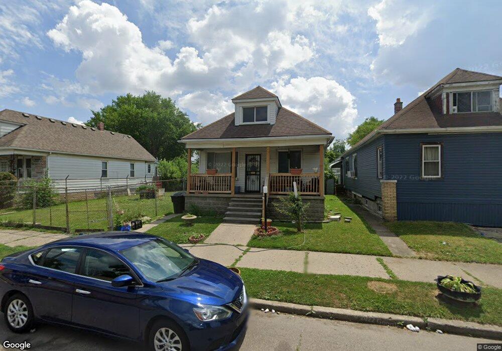
2038 Burnside St HamtraMcK, MI 48212
Campau-Banglatown NeighborhoodEstimated Value: $97,000 - $121,000
2
Beds
1
Bath
800
Sq Ft
$133/Sq Ft
Est. Value
About This Home
This home is located at 2038 Burnside St, HamtraMcK, MI 48212 and is currently estimated at $106,020, approximately $132 per square foot. 2038 Burnside St is a home located in Wayne County with nearby schools including Davison Elementary-Middle School, Charles L. Spain Elementary-Middle School, and Edward 'Duke' Ellington Conservatory of Music and Art.
Ownership History
Date
Name
Owned For
Owner Type
Purchase Details
Closed on
Jan 20, 2011
Sold by
Badani Abdulmajed and Alshuaibi Ridha Yahya
Bought by
Alfakih Ramah Rafik
Current Estimated Value
Purchase Details
Closed on
Jan 12, 2007
Sold by
Nasre Badani Abdulmajed and Nasre Badani
Bought by
Badani Abdulmajed
Home Financials for this Owner
Home Financials are based on the most recent Mortgage that was taken out on this home.
Original Mortgage
$32,000
Interest Rate
6.19%
Mortgage Type
Stand Alone Second
Create a Home Valuation Report for This Property
The Home Valuation Report is an in-depth analysis detailing your home's value as well as a comparison with similar homes in the area
Home Values in the Area
Average Home Value in this Area
Purchase History
| Date | Buyer | Sale Price | Title Company |
|---|---|---|---|
| Alfakih Ramah Rafik | $5,000 | None Available | |
| Badani Abdulmajed | -- | Multiple |
Source: Public Records
Mortgage History
| Date | Status | Borrower | Loan Amount |
|---|---|---|---|
| Previous Owner | Badani Abdulmajed | $32,000 |
Source: Public Records
Tax History
| Year | Tax Paid | Tax Assessment Tax Assessment Total Assessment is a certain percentage of the fair market value that is determined by local assessors to be the total taxable value of land and additions on the property. | Land | Improvement |
|---|---|---|---|---|
| 2025 | $836 | $22,600 | $0 | $0 |
| 2024 | $822 | $19,200 | $0 | $0 |
| 2023 | $796 | $12,900 | $0 | $0 |
| 2022 | $842 | $12,800 | $0 | $0 |
| 2021 | $822 | $9,900 | $0 | $0 |
| 2020 | $822 | $9,000 | $0 | $0 |
| 2019 | $811 | $7,200 | $0 | $0 |
| 2018 | $725 | $6,300 | $0 | $0 |
| 2017 | $116 | $6,100 | $0 | $0 |
| 2016 | $835 | $15,500 | $0 | $0 |
| 2015 | $990 | $9,900 | $0 | $0 |
| 2013 | $1,236 | $12,364 | $0 | $0 |
| 2010 | -- | $18,128 | $399 | $17,729 |
Source: Public Records
Map
Nearby Homes
- 2020 Halleck St
- 2438 Burnside St
- 2358 Neibel St
- 2388 Neibel St
- 2393 Botsford St
- 12001 Saint Aubin St
- 11634 Saint Aubin St
- 11603 Lumpkin St
- 11614 Nagel St
- 11756 Dyar St
- 11705 Mackay St
- 11727 Dyar St
- 12140 Mitchell St
- 11523 Fleming St
- 11399 Lumpkin St
- 11655 Mitchell St
- 13479 Mackay St
- 12511 Gallagher St
- 2361 Caniff St
- 12091 Sobieski St
- 2046 Burnside St
- 2034 Burnside St
- 2020 Burnside St
- 2058 Burnside St
- 2039 Mcpherson St
- 2064 Burnside St
- 2027 Mcpherson St
- 2039 Burnside St
- 2070 Burnside St
- 2010 Burnside St
- 2045 Burnside St
- 2027 Burnside St
- 2021 Burnside St
- 2057 Burnside St
- 2076 Burnside St
- 2015 Burnside St
- 1996 Burnside St
- 2009 Burnside St
- 2082 Burnside St
- 2069 Burnside St
Your Personal Tour Guide
Ask me questions while you tour the home.