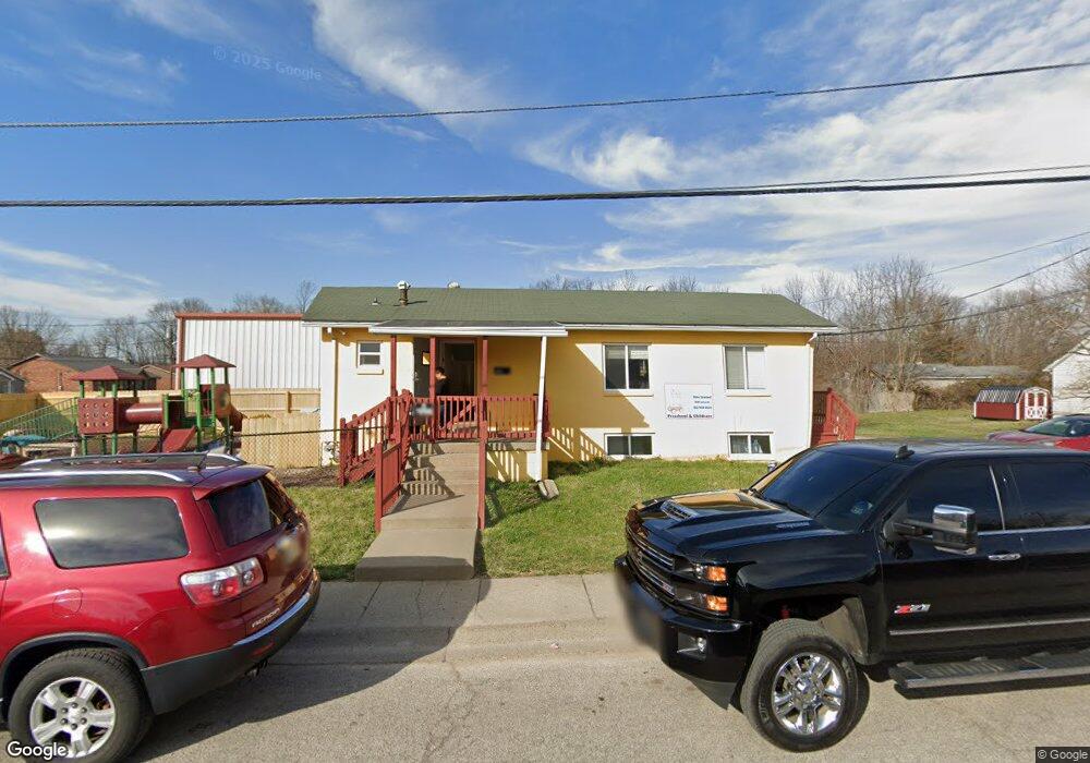
2038 Jaycee Dr New Albany, IN 47150
Estimated Value: $142,086 - $217,000
--
Bed
3
Baths
1,120
Sq Ft
$162/Sq Ft
Est. Value
About This Home
This home is located at 2038 Jaycee Dr, New Albany, IN 47150 and is currently estimated at $181,522, approximately $162 per square foot. 2038 Jaycee Dr is a home located in Floyd County with nearby schools including Fairmont Elementary School, Hazelwood Middle School, and New Albany Senior High School.
Ownership History
Date
Name
Owned For
Owner Type
Purchase Details
Closed on
Aug 19, 2016
Sold by
Derek Scott Properties Llc
Bought by
Wolf Industries Llc
Current Estimated Value
Home Financials for this Owner
Home Financials are based on the most recent Mortgage that was taken out on this home.
Original Mortgage
$64,921
Outstanding Balance
$51,682
Interest Rate
3.41%
Mortgage Type
New Conventional
Estimated Equity
$129,840
Purchase Details
Closed on
Jul 7, 2006
Sold by
Haeseley Brian T and Pitroski Robert D
Bought by
Derek Scott Properties Llc
Home Financials for this Owner
Home Financials are based on the most recent Mortgage that was taken out on this home.
Original Mortgage
$81,200
Interest Rate
7.5%
Mortgage Type
Future Advance Clause Open End Mortgage
Create a Home Valuation Report for This Property
The Home Valuation Report is an in-depth analysis detailing your home's value as well as a comparison with similar homes in the area
Home Values in the Area
Average Home Value in this Area
Purchase History
| Date | Buyer | Sale Price | Title Company |
|---|---|---|---|
| Wolf Industries Llc | -- | -- | |
| Derek Scott Properties Llc | -- | None Available |
Source: Public Records
Mortgage History
| Date | Status | Borrower | Loan Amount |
|---|---|---|---|
| Open | Wolf Industries Llc | $64,921 | |
| Previous Owner | Derek Scott Properties Llc | $81,200 |
Source: Public Records
Tax History Compared to Growth
Tax History
| Year | Tax Paid | Tax Assessment Tax Assessment Total Assessment is a certain percentage of the fair market value that is determined by local assessors to be the total taxable value of land and additions on the property. | Land | Improvement |
|---|---|---|---|---|
| 2024 | $1,385 | $65,200 | $11,100 | $54,100 |
| 2023 | $1,417 | $66,400 | $11,100 | $55,300 |
| 2022 | $1,431 | $67,000 | $11,100 | $55,900 |
| 2021 | $1,341 | $62,300 | $11,100 | $51,200 |
| 2020 | $1,343 | $62,300 | $11,100 | $51,200 |
| 2019 | $1,344 | $62,300 | $11,100 | $51,200 |
| 2018 | $1,439 | $66,300 | $11,100 | $55,200 |
| 2017 | $1,455 | $65,900 | $11,100 | $54,800 |
| 2016 | $1,306 | $65,300 | $11,100 | $54,200 |
| 2014 | $1,326 | $66,300 | $11,100 | $55,200 |
| 2013 | -- | $66,300 | $11,100 | $55,200 |
Source: Public Records
Map
Nearby Homes
- 2548 Broadway St
- 2550 Broadway St
- 8 Robin Ct
- 823 Elmwood Ave
- 2511 Fairmont Ave
- 805 Elmwood Ave
- 2218 Fairmont Ave
- 6369 Indiana 111
- 2115 Loop Island Way
- 2111 Loop Island Way
- 2103 Loop Island Way
- 627 Roseview Terrace
- 1418 Vance Ave
- 1749 McDonald Ln
- 1235 Vance Ave
- 528 Drawbrook Cir
- 1918 Charlestown Rd
- 1464 South St
- 1455 South St
- 511 E Daisy Ln
- 2034 Jaycee Dr
- 2523 McDonald St
- 2517 Brook St
- 2519 Brook St
- 2525 McDonald St
- 2526 Brook St
- 2529 McDonald St
- 2042 McDonald Ave
- 2523 Brook St
- 2040 McDonald Ave
- 2525 Brook St
- 2038 McDonald Ave
- 2531 McDonald St
- 2036 McDonald Ave
- 2527 Brook St
- 2520 Cannon St
- 2522 McDonald St
- 2533 McDonald St
- 2522 Cannon St
- 2034 McDonald Ave