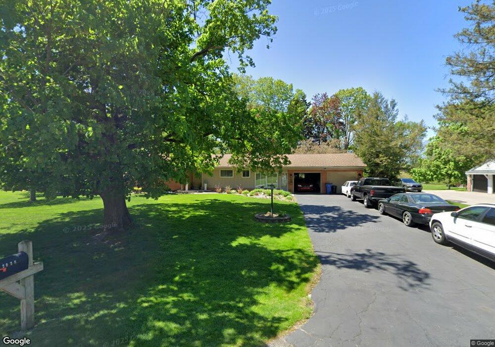
2038 Lakeward Ln Bloomfield Hills, MI 48302
Estimated Value: $387,000 - $499,000
3
Beds
3
Baths
1,868
Sq Ft
$231/Sq Ft
Est. Value
About This Home
This home is located at 2038 Lakeward Ln, Bloomfield Hills, MI 48302 and is currently estimated at $431,181, approximately $230 per square foot. 2038 Lakeward Ln is a home located in Oakland County with nearby schools including Walt Whitman Elementary School, Pontiac Middle School, and Pontiac High School.
Ownership History
Date
Name
Owned For
Owner Type
Purchase Details
Closed on
Feb 20, 2009
Sold by
Mortgage Electronic Registration Systems
Bought by
Federal National Mortgage Association
Current Estimated Value
Purchase Details
Closed on
Feb 3, 2009
Sold by
Rickert Dale E
Bought by
Mortgage Electronic Registration Systems
Purchase Details
Closed on
Oct 31, 2002
Sold by
Northern Trust Bank and Aten Beverly W
Bought by
Rickert Dale E
Purchase Details
Closed on
Jun 11, 1997
Sold by
Aten Beverly W
Bought by
Beverly W Aten Tr
Create a Home Valuation Report for This Property
The Home Valuation Report is an in-depth analysis detailing your home's value as well as a comparison with similar homes in the area
Home Values in the Area
Average Home Value in this Area
Purchase History
| Date | Buyer | Sale Price | Title Company |
|---|---|---|---|
| Federal National Mortgage Association | -- | None Available | |
| Mortgage Electronic Registration Systems | $254,990 | None Available | |
| Rickert Dale E | $230,000 | Capital Title Ins Agency | |
| Beverly W Aten Tr | -- | -- |
Source: Public Records
Tax History Compared to Growth
Tax History
| Year | Tax Paid | Tax Assessment Tax Assessment Total Assessment is a certain percentage of the fair market value that is determined by local assessors to be the total taxable value of land and additions on the property. | Land | Improvement |
|---|---|---|---|---|
| 2024 | $1,937 | $168,320 | $0 | $0 |
| 2023 | $1,848 | $156,500 | $0 | $0 |
| 2022 | $3,155 | $135,090 | $0 | $0 |
| 2021 | $3,083 | $133,260 | $0 | $0 |
| 2020 | $1,701 | $138,550 | $0 | $0 |
| 2019 | $3,021 | $125,660 | $0 | $0 |
| 2018 | $2,972 | $117,100 | $0 | $0 |
| 2017 | $2,928 | $116,180 | $0 | $0 |
| 2016 | $2,923 | $112,770 | $0 | $0 |
| 2015 | -- | $110,950 | $0 | $0 |
| 2014 | -- | $101,060 | $0 | $0 |
| 2011 | -- | $96,430 | $0 | $0 |
Source: Public Records
Map
Nearby Homes
- 1785 Ward Rd
- 1253 Atkinson Ave
- 1160 Dorchester Ave
- 1968 Maplewood Ave
- 1675 Dell Rose Dr
- 0000 Ward Road Ward Rd
- 1796 Briarcliff St
- 1947 Maplewood Ave
- 1061 Dorchester Ave
- 1205 Leinbach Ave
- 2216 Middlebelt Rd
- 2230 Middlebelt Rd
- 2468 Walce Dr
- 2084 Woodrow Wilson Blvd Unit A6
- 1775 Woodland Ave
- 1075 Canterbury Dr
- 49 Canal Dr Unit 300-049
- 2756 Turtle Bluff Dr
- 21 Canal Dr Unit 300-021
- 27 Riverbank Dr Unit 300-127
- 2014 Lakeward Ln
- 2062 Lakeward Ln
- 2041 Birchland Dr
- 1979 Lakewind Dr
- 1990 Lakeward Ln
- 2086 Lakeward Ln
- 1999 Birchland Dr
- 2043 Lakeward Ln
- 2017 Lakeward Ln
- 2071 Birchland Dr
- 2063 Lakeward Ln
- 1961 Lakewind Dr
- 1991 Lakeward Ln
- 1965 Lakeward Ln
- 2081 Lake Wind Dr
- 1946 N Hammond Lake Dr
- 2095 Lakeward Ln
- 2000 E Hammond Lake Dr
- 1980 N Hammond Lake Dr
- 1984 E Hammond Lake Dr