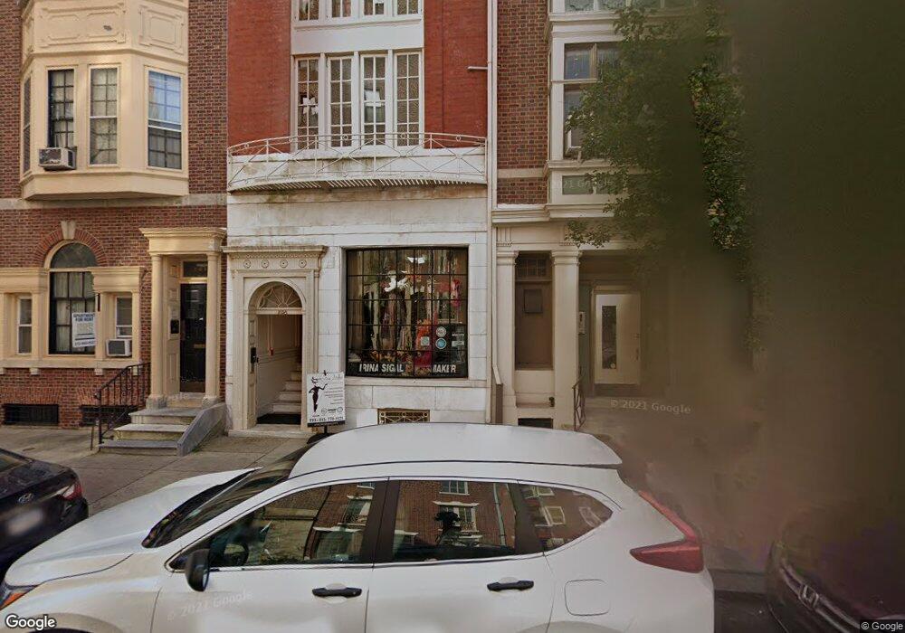
2038 Locust St Philadelphia, PA 19103
Rittenhouse Square NeighborhoodEstimated Value: $1,084,000 - $1,834,000
--
Bed
--
Bath
4,384
Sq Ft
$312/Sq Ft
Est. Value
About This Home
This home is located at 2038 Locust St, Philadelphia, PA 19103 and is currently estimated at $1,366,852, approximately $311 per square foot. 2038 Locust St is a home located in Philadelphia County with nearby schools including Albert M Greenfield School, Benjamin Franklin High School, and Philadelphia Electrical & Tech Charter High School.
Ownership History
Date
Name
Owned For
Owner Type
Purchase Details
Closed on
May 5, 2022
Sold by
Myers Charles L
Bought by
Charles L Myers Revocable Trust
Current Estimated Value
Purchase Details
Closed on
Feb 15, 2017
Sold by
Sigal Irina
Bought by
Tokman Anthony
Purchase Details
Closed on
Oct 29, 1999
Sold by
Yardumian John
Bought by
Myers Charles L
Create a Home Valuation Report for This Property
The Home Valuation Report is an in-depth analysis detailing your home's value as well as a comparison with similar homes in the area
Home Values in the Area
Average Home Value in this Area
Purchase History
| Date | Buyer | Sale Price | Title Company |
|---|---|---|---|
| Charles L Myers Revocable Trust | -- | None Listed On Document | |
| Tokman Anthony | -- | American Legal Abstract Llc | |
| Myers Charles L | $260,000 | -- |
Source: Public Records
Tax History Compared to Growth
Tax History
| Year | Tax Paid | Tax Assessment Tax Assessment Total Assessment is a certain percentage of the fair market value that is determined by local assessors to be the total taxable value of land and additions on the property. | Land | Improvement |
|---|---|---|---|---|
| 2025 | $18,750 | $1,233,800 | $246,700 | $987,100 |
| 2024 | $18,750 | $1,233,800 | $246,700 | $987,100 |
| 2023 | $18,750 | $1,339,500 | $267,900 | $1,071,600 |
| 2022 | $12,598 | $1,339,500 | $267,900 | $1,071,600 |
| 2021 | $18,094 | $0 | $0 | $0 |
| 2020 | $18,094 | $0 | $0 | $0 |
| 2019 | $17,510 | $0 | $0 | $0 |
| 2018 | $10,249 | $0 | $0 | $0 |
| 2017 | $10,249 | $0 | $0 | $0 |
| 2016 | $10,249 | $0 | $0 | $0 |
| 2015 | $9,811 | $0 | $0 | $0 |
| 2014 | -- | $732,200 | $83,631 | $648,569 |
| 2012 | -- | $104,000 | $14,838 | $89,162 |
Source: Public Records
Map
Nearby Homes
- 2019 Rittenhouse Square
- 2020 Locust St
- 2027 Chancellor St Unit 2027
- 2047 Locust St
- 1931 Spruce St Unit 1C
- 224-30 W Rittenhouse Square Unit 2110
- 1917 Spruce St Unit A
- 2018 32 Walnut St Unit G249
- 2018 Walnut St Unit 29K
- 2109 Locust St
- 220 W Rittenhouse Square Unit 6F
- 220 W Rittenhouse Square Unit 4D
- 220 W Rittenhouse Square Unit 10D
- 2013 Delancey Place
- 202-10 W Rittenhouse Square Unit 2201
- 224 30 W Rittenhouse Square Unit 2317
- 224 30 W Rittenhouse Square Unit 2217
- 224 30 W Rittenhouse Square Unit 1202
- 224 30 W Rittenhouse Square Unit 416
- 224 30 W Rittenhouse Square Unit 601
- 2038 Locust St Unit 3
- 2038 Locust St Unit 2
- 2036 Locust St
- 2036 Locust St Unit 4F
- 2036 Locust St Unit 3R
- 2036 Locust St Unit 1R
- 2036 Locust St Unit 1F
- 2036 Locust St Unit 2R
- 2036 Locust St Unit 4R
- 2034 Locust St
- 2042 Locust St
- 2032 Locust St
- 2044 Locust St
- 2030 Locust St
- 2046 Locust St
- 2038 Latimer St
- 2036 Latimer St
- 2034 Latimer St
- 2110 Chancellor St
- 2028 Locust St