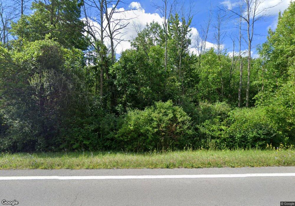
Estimated Value: $306,879 - $355,000
5
Beds
3
Baths
2,314
Sq Ft
$142/Sq Ft
Est. Value
About This Home
This home is located at 2038 Peter Smith Rd, Kent, NY 14477 and is currently estimated at $328,720, approximately $142 per square foot. 2038 Peter Smith Rd is a home located in Orleans County with nearby schools including Kendall Elementary School and Kendall Junior/Senior High School.
Ownership History
Date
Name
Owned For
Owner Type
Purchase Details
Closed on
Jul 22, 2014
Sold by
Paul Robin S
Bought by
Bierstine Ronald
Current Estimated Value
Home Financials for this Owner
Home Financials are based on the most recent Mortgage that was taken out on this home.
Original Mortgage
$102,000
Outstanding Balance
$77,752
Interest Rate
4.18%
Mortgage Type
Purchase Money Mortgage
Estimated Equity
$250,968
Purchase Details
Closed on
Aug 21, 2006
Home Financials for this Owner
Home Financials are based on the most recent Mortgage that was taken out on this home.
Original Mortgage
$130,000
Interest Rate
6.88%
Mortgage Type
Purchase Money Mortgage
Purchase Details
Closed on
Aug 1, 2003
Sold by
Anderson Wayne D
Bought by
Smith James R
Create a Home Valuation Report for This Property
The Home Valuation Report is an in-depth analysis detailing your home's value as well as a comparison with similar homes in the area
Home Values in the Area
Average Home Value in this Area
Purchase History
| Date | Buyer | Sale Price | Title Company |
|---|---|---|---|
| Bierstine Ronald | $146,000 | Lisa Neilans | |
| -- | -- | -- | |
| Smith James R | $155,000 | Douglas Heath |
Source: Public Records
Mortgage History
| Date | Status | Borrower | Loan Amount |
|---|---|---|---|
| Open | Bierstine Ronald | $102,000 | |
| Previous Owner | -- | $130,000 |
Source: Public Records
Tax History
| Year | Tax Paid | Tax Assessment Tax Assessment Total Assessment is a certain percentage of the fair market value that is determined by local assessors to be the total taxable value of land and additions on the property. | Land | Improvement |
|---|---|---|---|---|
| 2024 | $5,949 | $226,400 | $40,900 | $185,500 |
| 2023 | $5,837 | $226,400 | $40,900 | $185,500 |
| 2022 | $5,470 | $161,600 | $30,600 | $131,000 |
| 2021 | $5,426 | $161,600 | $30,600 | $131,000 |
| 2020 | $5,534 | $161,600 | $30,600 | $131,000 |
| 2019 | $5,155 | $161,600 | $30,600 | $131,000 |
| 2018 | $5,155 | $146,000 | $29,600 | $116,400 |
| 2017 | $5,209 | $146,000 | $29,600 | $116,400 |
| 2016 | $5,205 | $146,000 | $29,600 | $116,400 |
| 2015 | -- | $137,400 | $24,100 | $113,300 |
| 2014 | -- | $137,400 | $24,100 | $113,300 |
Source: Public Records
Map
Nearby Homes
- 2143 E Kent Rd
- 16305 Ridge Rd W
- 0 Tibet Dr Unit ONEH6319279
- 0 Vl Ridge Rd W
- 1359 Transit Rd
- 16530 Woodchuck Aly
- 2340 Kendall Rd
- 0 Densmore Rd
- 1510 Kendall Rd
- 2838 Kendall Rd
- 15951 Ed Rose Shores
- 16988 Creek Rd
- 14918 Lakeshore Rd
- 14503 Erway Track
- 17071 Ridge Rd
- 14466 Lakeshore Rd
- 14462 Lakeshore Rd
- 136 Knapp St
- 0 Lynch Rd Unit R1653187
- 0 Lynch Rd Unit LotWP002
- 1984 Peter Smith Rd
- 2069 Peter Smith Rd
- 1981 Peter Smith Rd
- 15861 Roosevelt Hwy
- 1965 Peter Smith Rd
- 2104 Peter Smith Rd
- 1952 Peter Smith Rd
- 2114 Peter Smith Rd
- 1940 Peter Smith Rd
- 1945 Peter Smith Rd
- 1932 Peter Smith Rd
- 15758 Roosevelt Hwy
- 1927 Peter Smith Rd
- 2148 Peter Smith Rd
- 15938 Roosevelt Hwy
- 15925 Roosevelt Hwy
- 1912 Peter Smith Rd
- 2157 Peter Smith Rd
- 15933 Roosevelt Hwy
- 2170 Peter Smith Rd
