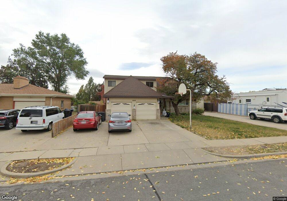
2038 S 700 W Woods Cross, UT 84087
Estimated Value: $550,000 - $579,564
5
Beds
3
Baths
3,287
Sq Ft
$171/Sq Ft
Est. Value
About This Home
This home is located at 2038 S 700 W, Woods Cross, UT 84087 and is currently estimated at $561,141, approximately $170 per square foot. 2038 S 700 W is a home located in Davis County with nearby schools including Woods Cross Elementary School, South Davis Junior High School, and Woods Cross High School.
Ownership History
Date
Name
Owned For
Owner Type
Purchase Details
Closed on
Nov 11, 2016
Sold by
Atkin Lisa B and Atkin Roger S
Bought by
Wolfgramm Charles Otto and Katoa Halamehi Kellie
Current Estimated Value
Purchase Details
Closed on
Dec 15, 2005
Sold by
Webb Sherry L
Bought by
Atkin Roger S and Atkin Lisa B
Home Financials for this Owner
Home Financials are based on the most recent Mortgage that was taken out on this home.
Original Mortgage
$39,980
Interest Rate
6.35%
Mortgage Type
Credit Line Revolving
Purchase Details
Closed on
Apr 16, 1998
Sold by
Shiner Jeff A and Shiner Joyce J
Bought by
Webb Sherry L
Create a Home Valuation Report for This Property
The Home Valuation Report is an in-depth analysis detailing your home's value as well as a comparison with similar homes in the area
Home Values in the Area
Average Home Value in this Area
Purchase History
| Date | Buyer | Sale Price | Title Company |
|---|---|---|---|
| Wolfgramm Charles Otto | -- | Backman Title | |
| Atkin Roger S | -- | Bonneville Title Company | |
| Webb Sherry L | -- | -- |
Source: Public Records
Mortgage History
| Date | Status | Borrower | Loan Amount |
|---|---|---|---|
| Previous Owner | Atkin Roger S | $39,980 | |
| Previous Owner | Atkin Roger S | $159,920 |
Source: Public Records
Tax History Compared to Growth
Tax History
| Year | Tax Paid | Tax Assessment Tax Assessment Total Assessment is a certain percentage of the fair market value that is determined by local assessors to be the total taxable value of land and additions on the property. | Land | Improvement |
|---|---|---|---|---|
| 2025 | $268 | $305,800 | $110,486 | $195,314 |
| 2024 | $372 | $299,750 | $117,555 | $182,195 |
| 2023 | $200 | $535,000 | $155,521 | $379,479 |
| 2022 | $237 | $288,750 | $67,604 | $221,146 |
| 2021 | $177 | $401,000 | $99,105 | $301,895 |
| 2020 | $168 | $358,000 | $94,300 | $263,700 |
| 2019 | $149 | $352,000 | $88,110 | $263,890 |
| 2018 | $138 | $322,000 | $86,669 | $235,331 |
| 2016 | $1,934 | $148,115 | $36,326 | $111,789 |
| 2015 | $1,869 | $138,490 | $36,326 | $102,164 |
| 2014 | $1,680 | $127,988 | $36,326 | $91,662 |
| 2013 | -- | $114,465 | $19,528 | $94,937 |
Source: Public Records
Map
Nearby Homes