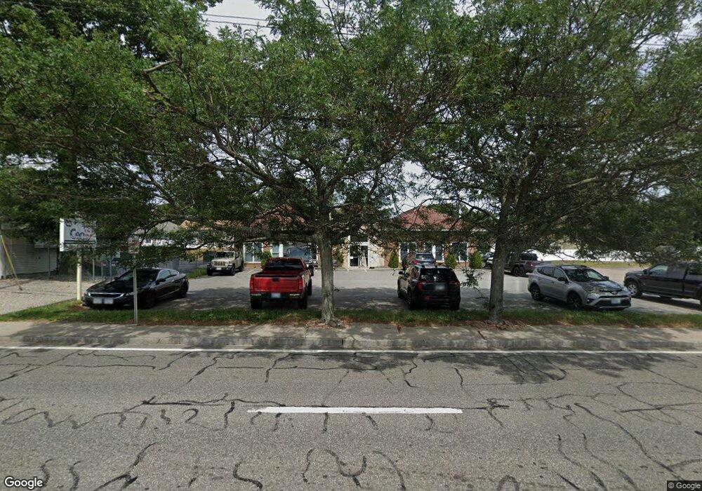
2038 Warwick Ave Warwick, RI 02889
Hoxie Neighborhood
Studio
--
Bath
4,560
Sq Ft
13,504
Sq Ft Lot
About This Home
This home is located at 2038 Warwick Ave, Warwick, RI 02889. 2038 Warwick Ave is a home located in Kent County with nearby schools including Saint Kevin School and Bishop Hendricken High School.
Ownership History
Date
Name
Owned For
Owner Type
Purchase Details
Closed on
Jan 18, 2024
Sold by
Illiano Michael D and Illiano Gina M
Bought by
Michael D Illiano Ret and Illiano
Purchase Details
Closed on
Dec 28, 2021
Sold by
Eugenia L Illiano Ret and Illiano
Bought by
Colbea Enterprises Llc
Purchase Details
Closed on
May 24, 1995
Sold by
Pappas Christopher W
Bought by
Illiano Geuseppe and Illiano Eugenia
Create a Home Valuation Report for This Property
The Home Valuation Report is an in-depth analysis detailing your home's value as well as a comparison with similar homes in the area
Home Values in the Area
Average Home Value in this Area
Purchase History
| Date | Buyer | Sale Price | Title Company |
|---|---|---|---|
| Michael D Illiano Ret | -- | None Available | |
| Gmi Prop Inc | -- | None Available | |
| Michael D Illiano Ret | -- | None Available | |
| Illiano Michael D | -- | None Available | |
| Colbea Enterprises Llc | $1,000,000 | None Available | |
| Colbea Enterprises Llc | $1,000,000 | None Available | |
| Illiano Geuseppe | $64,000 | -- | |
| Illiano Geuseppe | $64,000 | -- |
Source: Public Records
Map
Nearby Homes
- 0 Bethel St
- 108 Fern St
- 54 Ansonia Rd
- 18 Sevilla Ave
- 44 Woodstock Dr
- 101 Farmland Rd
- 38 Bowman Dr
- 207 Stillwater Dr
- 112 Old Warwick Ave
- 55 Dixie Ave
- 21 Sarah Ln
- 46 Verndale St
- 355 Church Ave
- 63 Ramblewood Dr
- 700 Sandy Ln Unit 16
- 700 Sandy Ln Unit 3
- 700 Sandy Ln Unit 5
- 700 Sandy Ln Unit 19
- 700 Sandy Ln Unit 4
- 700 Sandy Ln Unit 20
Your Personal Tour Guide
Ask me questions while you tour the home.