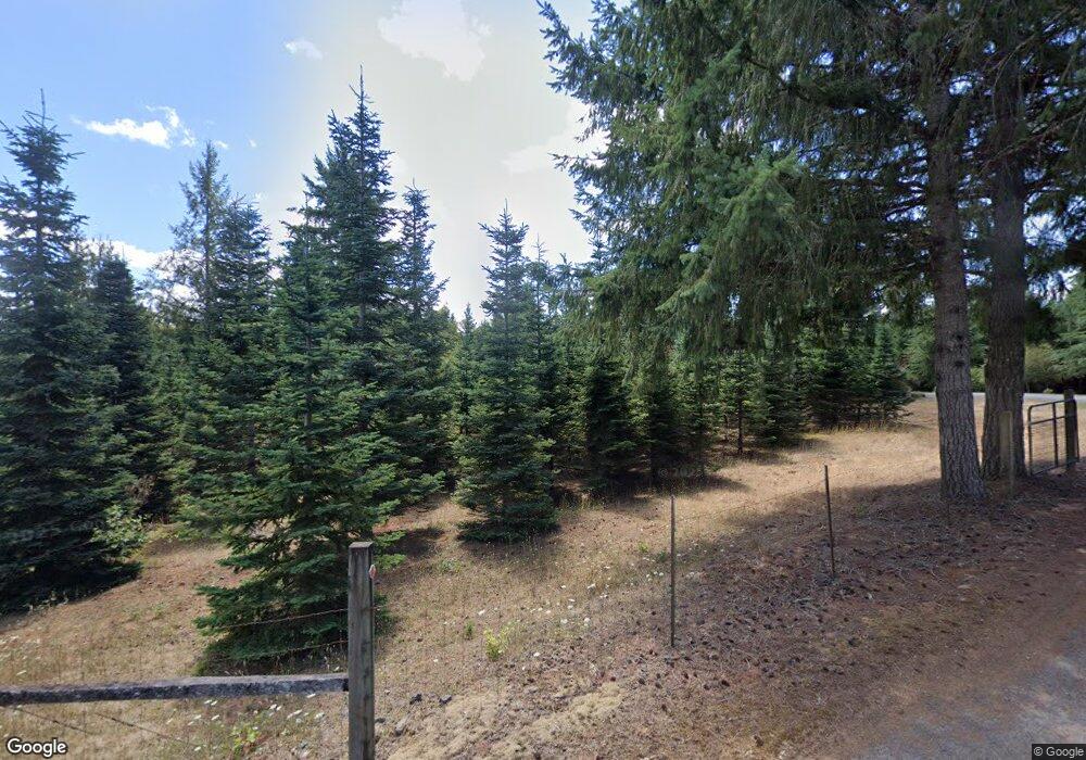
20380 S Swank Rd Colton, OR 97017
Estimated Value: $539,052 - $982,000
--
Bed
--
Bath
1,782
Sq Ft
$416/Sq Ft
Est. Value
About This Home
This home is located at 20380 S Swank Rd, Colton, OR 97017 and is currently estimated at $741,351, approximately $416 per square foot. 20380 S Swank Rd is a home with nearby schools including Colton Elementary School, Colton Middle School, and Colton High School.
Ownership History
Date
Name
Owned For
Owner Type
Purchase Details
Closed on
Aug 21, 2024
Sold by
Ingersoll Kirsten L and Ingersoll Aaron C
Bought by
Aaron And Kirsten Ingersoll Trust and Ingersoll
Current Estimated Value
Purchase Details
Closed on
Apr 1, 2010
Sold by
Ingersoll Kirsten L
Bought by
Ingersoll Kirsten L and Ingersoll Aaron C
Create a Home Valuation Report for This Property
The Home Valuation Report is an in-depth analysis detailing your home's value as well as a comparison with similar homes in the area
Home Values in the Area
Average Home Value in this Area
Purchase History
| Date | Buyer | Sale Price | Title Company |
|---|---|---|---|
| Aaron And Kirsten Ingersoll Trust | -- | None Listed On Document | |
| Ingersoll Kirsten L | -- | None Available |
Source: Public Records
Tax History Compared to Growth
Tax History
| Year | Tax Paid | Tax Assessment Tax Assessment Total Assessment is a certain percentage of the fair market value that is determined by local assessors to be the total taxable value of land and additions on the property. | Land | Improvement |
|---|---|---|---|---|
| 2025 | $1,965 | $160,803 | -- | -- |
| 2024 | $1,969 | $156,121 | -- | -- |
| 2023 | $1,969 | $151,577 | $0 | $0 |
| 2022 | $1,852 | $147,160 | $0 | $0 |
| 2021 | $1,767 | $142,874 | $0 | $0 |
| 2020 | $1,720 | $138,711 | $0 | $0 |
| 2019 | $1,670 | $134,672 | $0 | $0 |
| 2018 | $1,633 | $130,753 | $0 | $0 |
| 2017 | $1,581 | $126,943 | $0 | $0 |
| 2016 | $1,479 | $123,246 | $0 | $0 |
| 2015 | $1,382 | $118,712 | $0 | $0 |
| 2014 | $1,232 | $110,239 | $0 | $0 |
Source: Public Records
Map
Nearby Homes
- 29882 S Hult Rd
- 19807 S Highway 211
- 19400 S Frank Rd
- 30725 S Wall St
- 19345 S Rockney Rd
- 30811 S Oswalt Rd
- 0 S Hult Rd
- 18863 S Norry Ct
- 30850 S Marian St
- 30886 S Marian St
- 27882 S Mote Ln
- 18247 S Highway 211
- 18215 Oregon 211
- 22816 S Bonney Rd
- 29555 S Beavercreek Rd
- 32553 S Dhooghe Rd
- 23456 S Schieffer Rd
- 23533 S Bonney Rd
- 26280 S Beavercreek Rd
- 26394 S Gard Rd
- 20388 S Earle Rd
- 20368 S Earle Rd
- 0 S Swank Rd
- 20400 S Earle Rd
- 20288 S Earle Rd
- 20488 S Earle Rd
- 0 Swank Rd Unit 650385
- 0 Swank Rd Unit 628391
- 0 Swank Rd Unit 10043365
- 0 Swank Rd Unit 11445560
- 0 Swank Rd Unit 12547402
- 0 Swank Rd Unit 12341024
- 0 Swank Rd Unit 13351346
- 20320 S Swank Rd
- 29753 S Hult Rd
- 20566 S Earle Rd
- 20388 S Hidden Creek Ln
- 20319 S Swank Rd
- 20300 S Hidden Creek Ln
- 20596 S Earle Rd