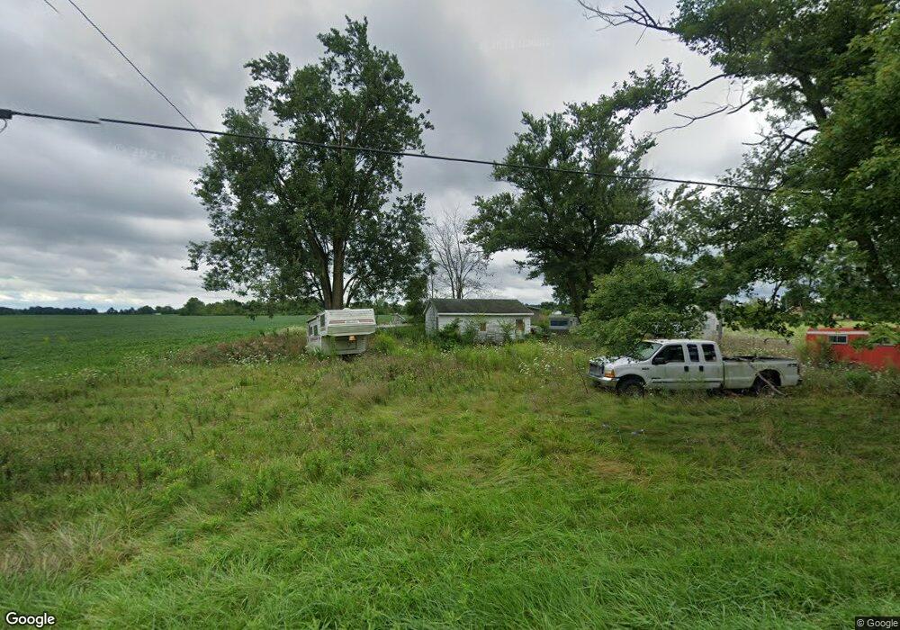
20385 State Route 47 Raymond, OH 43067
Estimated Value: $62,716 - $252,000
3
Beds
1
Bath
1,544
Sq Ft
$105/Sq Ft
Est. Value
About This Home
This home is located at 20385 State Route 47, Raymond, OH 43067 and is currently estimated at $162,679, approximately $105 per square foot. 20385 State Route 47 is a home located in Union County with nearby schools including North Union Elementary School, North Union Middle School, and North Union High School.
Ownership History
Date
Name
Owned For
Owner Type
Purchase Details
Closed on
Jun 27, 2023
Sold by
Wyatt James H and Wyatt Betty L
Bought by
Wyatt David H and Wyatt Elizabeth A
Current Estimated Value
Purchase Details
Closed on
May 16, 2005
Sold by
Aurora Loan Services
Bought by
Wyatt James and Wyatt Betty
Home Financials for this Owner
Home Financials are based on the most recent Mortgage that was taken out on this home.
Original Mortgage
$49,900
Interest Rate
5.8%
Mortgage Type
Purchase Money Mortgage
Purchase Details
Closed on
Feb 18, 2005
Sold by
Yeager Jodi M and Yeager William D
Bought by
Aurora Loan Services Inc
Create a Home Valuation Report for This Property
The Home Valuation Report is an in-depth analysis detailing your home's value as well as a comparison with similar homes in the area
Purchase History
We collect this data history from publicly available records. To have your information removed, we recommend requesting removal directly through your county’s website.
| Date | Buyer | Sale Price | Title Company |
|---|---|---|---|
| Wyatt David H | -- | None Listed On Document | |
| Wyatt James | $49,900 | Chicago Title Ins Co | |
| Aurora Loan Services Inc | $45,000 | -- |
Source: Public Records
Mortgage History
We collect this data history from publicly available records. To have your information removed, we recommend requesting removal directly through your county’s website.
| Date | Status | Borrower | Loan Amount |
|---|---|---|---|
| Previous Owner | Wyatt James | $49,900 |
Source: Public Records
Tax History
| Year | Tax Paid | Tax Assessment Tax Assessment Total Assessment is a certain percentage of the fair market value that is determined by local assessors to be the total taxable value of land and additions on the property. | Land | Improvement |
|---|---|---|---|---|
| 2025 | $573 | $14,620 | $13,520 | $1,100 |
| 2024 | $437 | $10,080 | $8,540 | $1,540 |
| 2023 | $437 | $10,080 | $8,540 | $1,540 |
| 2022 | $422 | $10,080 | $8,540 | $1,540 |
| 2021 | $354 | $7,760 | $6,570 | $1,190 |
| 2020 | $392 | $7,760 | $6,570 | $1,190 |
| 2019 | $332 | $7,760 | $6,570 | $1,190 |
| 2018 | $479 | $11,010 | $5,250 | $5,760 |
| 2017 | $1,054 | $24,450 | $5,250 | $19,200 |
| 2016 | $1,066 | $24,450 | $5,250 | $19,200 |
| 2015 | $818 | $18,040 | $5,250 | $12,790 |
| 2014 | $785 | $18,040 | $5,250 | $12,790 |
| 2013 | $797 | $18,040 | $5,250 | $12,790 |
Source: Public Records
Map
Nearby Homes
- 28384 Bitler Rd
- 20889 Davis Rd
- 30650 State Route 739
- 29419 Osborne Rd
- 31516 State Route 31
- 0 Ohio 31
- 32000 N Middlesworth Rd
- 16574 Miller Rd
- 0 State Route 292 Unit 27291144
- 23634 Center St
- 18699 Main St
- 23564 Shirk Ave
- 0 Main St
- 360 S Main St
- 23484 Dayton Ave
- 180 S Main St
- 205 W Center St
- 271 N Dean St
- 431 W Center St
- 0 Fields Rd
- 20421 Ohio 47
- 20340 State Route 47
- 20421 State Route 47
- 20314 State Route 47
- 20340 Ohio 47
- 20291 State Route 47
- 20282 State Route 47
- 20523 State Route 47
- 20221 State Route 47
- 20220 State Route 47
- 28246 State Route 739
- 28350 State Route 739
- 28249 Ohio 739
- 28122 State Route 739
- 28299 State Route 739
- 28289 State Route 739
- 28370 Ohio 739
- 28269 State Route 739
- 28384 Ohio 739
- 28353 State Route 739
Your Personal Tour Guide
Ask me questions while you tour the home.