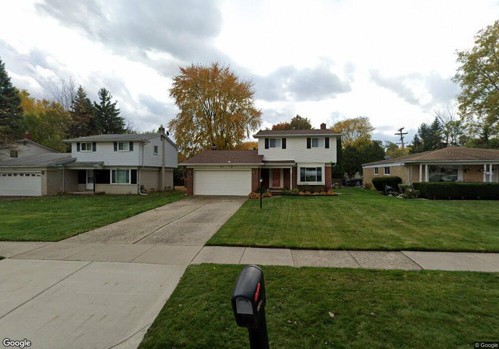
20387 Roseland St Southfield, MI 48076
Estimated Value: $274,000 - $379,000
3
Beds
2
Baths
1,702
Sq Ft
$187/Sq Ft
Est. Value
About This Home
This home is located at 20387 Roseland St, Southfield, MI 48076 and is currently estimated at $317,550, approximately $186 per square foot. 20387 Roseland St is a home located in Oakland County with nearby schools including Alice M. Birney K-8 School, Yeshivas Darchei Torah, and Farber Hebrew Day School.
Ownership History
Date
Name
Owned For
Owner Type
Purchase Details
Closed on
Oct 10, 2022
Sold by
Reid-Hawkins Janie
Bought by
Janie Reid-Hawkins Revocable Trust
Current Estimated Value
Purchase Details
Closed on
Oct 28, 2009
Sold by
Hanna Ramzi and Hanna Elizabeth
Bought by
Hawkins Clarence and Hawkins Janie Reid
Purchase Details
Closed on
May 19, 2009
Sold by
Poole Pamela Kelly and Poole Mark
Bought by
The Bank Of New York Mellon and The Bank Of New York
Purchase Details
Closed on
Jul 5, 2001
Sold by
Amer E Jarbo
Bought by
Poole Pamela K
Home Financials for this Owner
Home Financials are based on the most recent Mortgage that was taken out on this home.
Original Mortgage
$172,000
Interest Rate
6.97%
Mortgage Type
Purchase Money Mortgage
Create a Home Valuation Report for This Property
The Home Valuation Report is an in-depth analysis detailing your home's value as well as a comparison with similar homes in the area
Home Values in the Area
Average Home Value in this Area
Purchase History
| Date | Buyer | Sale Price | Title Company |
|---|---|---|---|
| Janie Reid-Hawkins Revocable Trust | -- | -- | |
| Janie Reid-Hawkins Revocable Trust | -- | None Listed On Document | |
| Hawkins Clarence | $56,000 | Lawyers Title Insurance Co | |
| The Bank Of New York Mellon | $48,705 | None Available | |
| Poole Pamela K | $184,900 | -- |
Source: Public Records
Mortgage History
| Date | Status | Borrower | Loan Amount |
|---|---|---|---|
| Previous Owner | Poole Pamela K | $172,000 |
Source: Public Records
Tax History Compared to Growth
Tax History
| Year | Tax Paid | Tax Assessment Tax Assessment Total Assessment is a certain percentage of the fair market value that is determined by local assessors to be the total taxable value of land and additions on the property. | Land | Improvement |
|---|---|---|---|---|
| 2022 | $2,959 | $111,430 | $18,410 | $93,020 |
| 2021 | $3,029 | $96,730 | $18,410 | $78,320 |
| 2020 | $2,642 | $85,520 | $16,010 | $69,510 |
| 2018 | $3,124 | $73,680 | $16,010 | $57,670 |
| 2015 | -- | $55,090 | $0 | $0 |
| 2014 | -- | $45,290 | $0 | $0 |
| 2011 | -- | $45,500 | $0 | $0 |
Source: Public Records
Map
Nearby Homes
- 28801 Ranchwood Dr
- 20351 Lacrosse Ave
- 28430 Ranchwood Dr
- 28450 Tapert Dr
- 20141 Lacrosse Ave
- 29230 Bermuda Ln
- 29120 Evergreen Rd Unit 17
- 20120 Covington Pkwy
- 19601 W 12 Mile Rd Unit 102
- 27925 Arlington Dr
- 20780 Wayland St
- 29585 Woodhaven Ln
- 20345 Harbor Ln
- 21440 Constitution St
- 29662 Westbrook Pkwy
- 28330 Lahser Rd
- 21650 W 11 Mile Rd
- 27430 Evergreen Rd Unit 36
- 18797 Wiltshire Blvd
- 21361 Andover Rd
- 20403 Roseland St
- 20371 Roseland St
- 20355 Roseland St
- 20461 Roseland St
- 20485 Roseland St
- 20390 Alhambra St
- 20410 Alhambra St
- 20370 Alhambra St
- 20444 Alhambra St
- 20390 Roseland St
- 20350 Alhambra St
- 20420 Roseland St
- 20360 Roseland St
- 20337 Roseland St
- 20499 Roseland St
- 20488 Alhambra St
- 20460 Roseland St
- 20350 Roseland St
- 20325 Roseland St
- 20330 Alhambra St