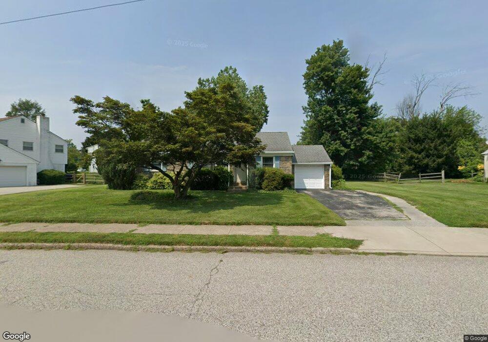
2039 Berkley Rd Norristown, PA 19403
West Norriton Township NeighborhoodEstimated Value: $376,000 - $462,000
3
Beds
1
Bath
1,320
Sq Ft
$315/Sq Ft
Est. Value
About This Home
This home is located at 2039 Berkley Rd, Norristown, PA 19403 and is currently estimated at $416,221, approximately $315 per square foot. 2039 Berkley Rd is a home located in Montgomery County with nearby schools including Charles Blockson Middle School, Paul V Fly Elementary School, and East Norriton Middle School.
Ownership History
Date
Name
Owned For
Owner Type
Purchase Details
Closed on
May 10, 2019
Sold by
Wright Daniel F and Wright Stephanie
Bought by
Wright Stephanie
Current Estimated Value
Purchase Details
Closed on
Jun 27, 2008
Sold by
Nelson Debra J and Veenhuisen Leonard
Bought by
Wright Daniel F and Wright Stephanie
Home Financials for this Owner
Home Financials are based on the most recent Mortgage that was taken out on this home.
Original Mortgage
$212,000
Outstanding Balance
$137,183
Interest Rate
6.13%
Estimated Equity
$279,038
Create a Home Valuation Report for This Property
The Home Valuation Report is an in-depth analysis detailing your home's value as well as a comparison with similar homes in the area
Home Values in the Area
Average Home Value in this Area
Purchase History
| Date | Buyer | Sale Price | Title Company |
|---|---|---|---|
| Wright Stephanie | -- | None Available | |
| Wright Daniel F | $265,000 | None Available |
Source: Public Records
Mortgage History
| Date | Status | Borrower | Loan Amount |
|---|---|---|---|
| Open | Wright Daniel F | $212,000 |
Source: Public Records
Tax History Compared to Growth
Tax History
| Year | Tax Paid | Tax Assessment Tax Assessment Total Assessment is a certain percentage of the fair market value that is determined by local assessors to be the total taxable value of land and additions on the property. | Land | Improvement |
|---|---|---|---|---|
| 2025 | $6,002 | $122,840 | -- | -- |
| 2024 | $6,002 | $122,840 | -- | -- |
| 2023 | $5,934 | $122,840 | $0 | $0 |
| 2022 | $5,895 | $122,840 | $0 | $0 |
| 2021 | $5,860 | $122,840 | $0 | $0 |
| 2020 | $5,685 | $122,840 | $0 | $0 |
| 2019 | $5,558 | $122,840 | $0 | $0 |
| 2018 | $4,288 | $122,840 | $0 | $0 |
| 2017 | $5,247 | $122,840 | $0 | $0 |
| 2016 | $5,199 | $122,840 | $0 | $0 |
| 2015 | $4,816 | $122,840 | $0 | $0 |
| 2014 | $4,816 | $122,840 | $0 | $0 |
Source: Public Records
Map
Nearby Homes
- 1924 Juniata Rd
- 37 Burnside Ave
- 2044 Mill Rd
- 533 Brandon Rd
- 402 Brandon Rd
- 307 Brandon Rd
- 1905 Yorktown N
- 526 Bassett Ln
- 1914 Yorktown S
- 167 Woodstream Dr Unit CONDO 167
- 440 Rittenhouse Blvd
- 2017 Yorktown S
- 2012 Yorktown S
- 143 Riversedge Dr Unit CONDO 143
- 121 Woodstream Dr Unit CONDO 121
- 176 Riversedge Dr
- 1749 W Marshall St
- 709 Middleton Place
- 1633 Williams Way
- 214 Oxford Cir