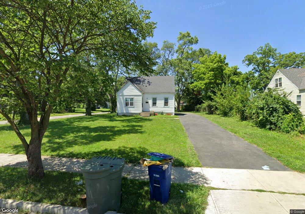
2039 Brentnell Ave Columbus, OH 43219
Woodland Holt NeighborhoodEstimated Value: $104,000 - $170,000
4
Beds
1
Bath
1,072
Sq Ft
$135/Sq Ft
Est. Value
About This Home
This home is located at 2039 Brentnell Ave, Columbus, OH 43219 and is currently estimated at $144,667, approximately $134 per square foot. 2039 Brentnell Ave is a home located in Franklin County with nearby schools including South Mifflin Stem Academy (K-6), Linden-Mckinley Stem School On Arcadia, and Cesar Chavez College Preparatory School.
Ownership History
Date
Name
Owned For
Owner Type
Purchase Details
Closed on
Oct 3, 1997
Sold by
Living Faith Apostolic Church
Bought by
Miracit Development Corp
Current Estimated Value
Purchase Details
Closed on
Oct 11, 1996
Sold by
Landry J Brett
Bought by
Living Faith Apostolic Church
Purchase Details
Closed on
Jan 21, 1992
Create a Home Valuation Report for This Property
The Home Valuation Report is an in-depth analysis detailing your home's value as well as a comparison with similar homes in the area
Home Values in the Area
Average Home Value in this Area
Purchase History
| Date | Buyer | Sale Price | Title Company |
|---|---|---|---|
| Miracit Development Corp | $36,500 | Preferred Title Agency Inc | |
| Living Faith Apostolic Church | $30,000 | -- | |
| -- | -- | -- |
Source: Public Records
Tax History Compared to Growth
Tax History
| Year | Tax Paid | Tax Assessment Tax Assessment Total Assessment is a certain percentage of the fair market value that is determined by local assessors to be the total taxable value of land and additions on the property. | Land | Improvement |
|---|---|---|---|---|
| 2024 | $1,540 | $33,600 | $9,730 | $23,870 |
| 2023 | $1,521 | $33,600 | $9,730 | $23,870 |
| 2022 | $923 | $17,360 | $3,850 | $13,510 |
| 2021 | $924 | $17,360 | $3,850 | $13,510 |
| 2020 | $926 | $17,360 | $3,850 | $13,510 |
| 2019 | $830 | $13,340 | $3,080 | $10,260 |
| 2018 | $850 | $13,340 | $3,080 | $10,260 |
| 2017 | $829 | $13,340 | $3,080 | $10,260 |
| 2016 | $959 | $14,110 | $3,500 | $10,610 |
| 2015 | $873 | $14,110 | $3,500 | $10,610 |
| 2014 | $875 | $14,110 | $3,500 | $10,610 |
| 2013 | $480 | $15,680 | $3,885 | $11,795 |
Source: Public Records
Map
Nearby Homes
- 0 Mock Rd
- 2336 Edenburgh Dr S
- 1882 Dunning Rd
- 2054 Jermain Dr
- 0 Danby Dr
- 2471 Mock Rd
- 2398 Dunkirk Dr
- 1808 Brentnell Ave
- 1991 Woodland Ave
- 1794 Devonshire Rd
- 0 Rankin Ave Unit (Rear)
- 1790 Marston Rd
- 1789 Marston Rd
- 1975 Mock Rd
- 2040 Loretta Ave
- 0 Parkwood Ave
- 1978 Argyle Dr
- 2386 Century Dr
- 2736 Bellero Way Unit 94
- 2055 Earl Ave
- 2047 Brentnell Ave
- 2019 Brentnell Ave
- 2272 Delavan Dr
- 2011 Brentnell Ave
- 2024 Marston Rd
- 2266 Delavan Dr
- 2036 Brentnell Ave
- 2044 Brentnell Ave
- 2018 Marston Rd
- 2005 Brentnell Ave
- 2258 Delavan Dr
- 2012 Marston Rd
- 1997 Brentnell Ave
- 2252 Delavan Dr
- 2008 Brentnell Ave
- 2004 Marston Rd
- 2002 Brentnell Ave
- 1991 Brentnell Ave
- 2246 Delavan Dr
- 1996 Brentnell Ave