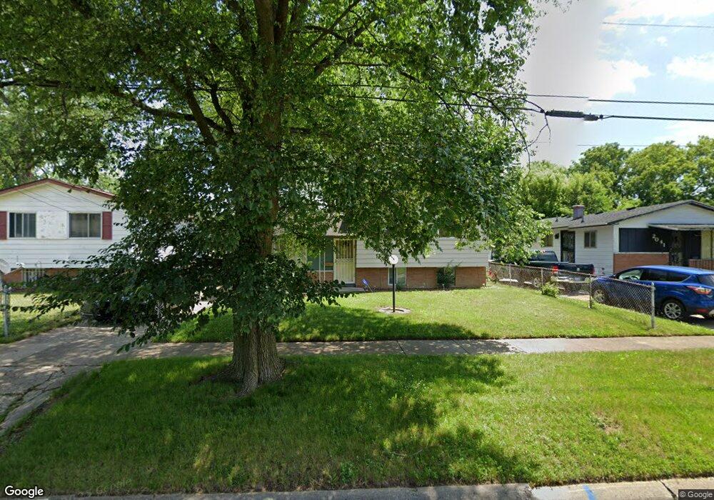
2039 Burr Blvd Flint, MI 48503
South Parks NeighborhoodEstimated Value: $63,000 - $84,240
--
Bed
2
Baths
1,444
Sq Ft
$49/Sq Ft
Est. Value
About This Home
This home is located at 2039 Burr Blvd, Flint, MI 48503 and is currently estimated at $71,060, approximately $49 per square foot. 2039 Burr Blvd is a home located in Genesee County with nearby schools including Freeman Elementary School, Flint Southwestern Classical Academy, and International Academy of Flint (K-12).
Ownership History
Date
Name
Owned For
Owner Type
Purchase Details
Closed on
Jun 14, 2022
Sold by
Clementine Wright
Bought by
Moye Llc
Current Estimated Value
Purchase Details
Closed on
Aug 17, 2007
Sold by
Boyd James H
Bought by
Hsbc Bank Usa Na and Nomura Home Equity Loan Inc Asset Backed
Purchase Details
Closed on
Aug 27, 2004
Sold by
Hasenfratz Kristen
Bought by
Boyd James H
Purchase Details
Closed on
Sep 25, 2002
Sold by
Wynne Anthony and Wynne Elizabeth
Bought by
National City Bank
Create a Home Valuation Report for This Property
The Home Valuation Report is an in-depth analysis detailing your home's value as well as a comparison with similar homes in the area
Home Values in the Area
Average Home Value in this Area
Purchase History
| Date | Buyer | Sale Price | Title Company |
|---|---|---|---|
| Moye Llc | $30,000 | None Listed On Document | |
| Hsbc Bank Usa Na | $91,905 | None Available | |
| Boyd James H | $81,900 | Sargents Title Company | |
| National City Bank | $51,875 | -- |
Source: Public Records
Tax History Compared to Growth
Tax History
| Year | Tax Paid | Tax Assessment Tax Assessment Total Assessment is a certain percentage of the fair market value that is determined by local assessors to be the total taxable value of land and additions on the property. | Land | Improvement |
|---|---|---|---|---|
| 2025 | $1,047 | $19,100 | $0 | $0 |
| 2024 | $972 | $16,200 | $0 | $0 |
| 2023 | $952 | $13,900 | $0 | $0 |
| 2022 | $0 | $12,200 | $0 | $0 |
| 2021 | $963 | $10,800 | $0 | $0 |
| 2020 | $889 | $10,500 | $0 | $0 |
| 2019 | $1,591 | $9,300 | $0 | $0 |
| 2018 | $989 | $11,000 | $0 | $0 |
| 2017 | $972 | $0 | $0 | $0 |
| 2016 | $972 | $0 | $0 | $0 |
| 2015 | -- | $0 | $0 | $0 |
| 2014 | -- | $0 | $0 | $0 |
| 2012 | -- | $13,400 | $0 | $0 |
Source: Public Records
Map
Nearby Homes
- 2029 Aitken Ave
- 1110 Pingree Ave
- 1601 Wayne St
- 2221 Howard Ave
- 2010 Crocker Ave
- 1917 Whittlesey St
- 2224 Crocker Ave
- 1937 Chelan St
- 2121 Dwight Ave
- 2618 Pinetree Dr
- 1840 Mcphail St
- 2050 Ferris Ave
- 9211 Owen St
- 420 Pingree Ave
- 1628 Broad Ct
- 1510 S Franklin Ave
- 2910 Shawnee Ave
- 1409 S Franklin Ave
- 3115 Circle Dr
- 133 E Oakley St
- 2041 Burr Blvd
- 2033 Burr Blvd
- 2029 Burr Blvd
- 2040 Mcavoy St
- 2036 Mcavoy St
- 2048 Mcavoy St
- 2025 Burr Blvd
- 2048 Mcavoy Streets
- 2021 Burr Blvd
- 2030 Mcavoy St
- 2050 Mcavoy St
- 2026 Mcavoy St
- 2040 Burr Blvd
- 1501 Lippincott Blvd
- 2034 Burr Blvd
- 2022 Mcavoy St
- 2044 Burr Blvd
- 2046 Burr Blvd
- 2030 Burr Blvd
- 2050 Burr Blvd