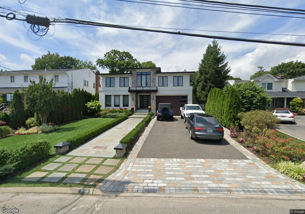
2039 Byron Rd Merrick, NY 11566
Estimated Value: $1,438,641 - $1,965,000
5
Beds
3
Baths
3,017
Sq Ft
$564/Sq Ft
Est. Value
About This Home
This home is located at 2039 Byron Rd, Merrick, NY 11566 and is currently estimated at $1,701,821, approximately $564 per square foot. 2039 Byron Rd is a home located in Nassau County with nearby schools including Merrick Avenue Middle School, John F. Kennedy High School, and Grace Christian Academy.
Ownership History
Date
Name
Owned For
Owner Type
Purchase Details
Closed on
Mar 28, 2019
Sold by
Vasilakos Mary
Bought by
Carapella Domenic
Current Estimated Value
Home Financials for this Owner
Home Financials are based on the most recent Mortgage that was taken out on this home.
Original Mortgage
$550,000
Outstanding Balance
$479,570
Interest Rate
4.3%
Mortgage Type
New Conventional
Estimated Equity
$1,222,251
Create a Home Valuation Report for This Property
The Home Valuation Report is an in-depth analysis detailing your home's value as well as a comparison with similar homes in the area
Home Values in the Area
Average Home Value in this Area
Purchase History
| Date | Buyer | Sale Price | Title Company |
|---|---|---|---|
| Carapella Domenic | $800,000 | Stewart Title |
Source: Public Records
Mortgage History
| Date | Status | Borrower | Loan Amount |
|---|---|---|---|
| Open | Carapella Domenic | $550,000 |
Source: Public Records
Tax History
| Year | Tax Paid | Tax Assessment Tax Assessment Total Assessment is a certain percentage of the fair market value that is determined by local assessors to be the total taxable value of land and additions on the property. | Land | Improvement |
|---|---|---|---|---|
| 2025 | $20,186 | $740 | $292 | $448 |
| 2024 | $4,503 | $744 | $293 | $451 |
| 2023 | $21,066 | $858 | $304 | $554 |
| 2022 | $21,066 | $776 | $306 | $470 |
| 2021 | $29,466 | $896 | $354 | $542 |
| 2020 | $45,107 | $1,375 | $821 | $554 |
| 2019 | $6,394 | $1,375 | $821 | $554 |
| 2018 | $6,101 | $1,375 | $0 | $0 |
| 2017 | $14,395 | $1,375 | $736 | $639 |
| 2016 | $20,280 | $1,375 | $736 | $639 |
| 2015 | $6,084 | $1,533 | $821 | $712 |
| 2014 | $6,084 | $1,533 | $821 | $712 |
| 2013 | $5,756 | $1,533 | $821 | $712 |
Source: Public Records
Map
Nearby Homes
- 2077 Byron Rd
- 1945 Byron Rd
- 217 Bayview Ave
- 2043 Ripley Ln
- 109 Elliot St
- 110 Hampton Way
- 1360-1370 Merrick Rd
- 2072 Brighton Way
- 2729 Shore Dr
- 163 Wynsum Ave
- 2845 Whaleneck Dr
- 2819 Harbor Rd
- 2810 Wynsum Ave
- 1903 George Ct
- 212 Babylon Turnpike
- 2066 Holland Way
- 60 Montauk Ave
- 2829 Frankel Blvd
- 2863 Harbor Rd
- 2884 Bay Dr
- 2033 Byron Rd
- 2045 Byron Rd
- 2641 Merrick Ave
- 2635 Merrick Ave
- 2019 Byron Rd
- 2629 Merrick Ave
- 2042 Byron Rd
- 2034 Berfond Ct
- 2034 Byron Rd
- 2038 Berfond Ct
- 2057 Byron Rd
- 2028 Byron Rd
- 2028 Berfond Ct
- 2052 Byron Rd
- 2628 Orr St
- 2621 Merrick Ave
- 2661 Merrick Ave
- 2042 Berfond Ct
- 2622 Orr St
- 2671 Merrick Ave
Your Personal Tour Guide
Ask me questions while you tour the home.