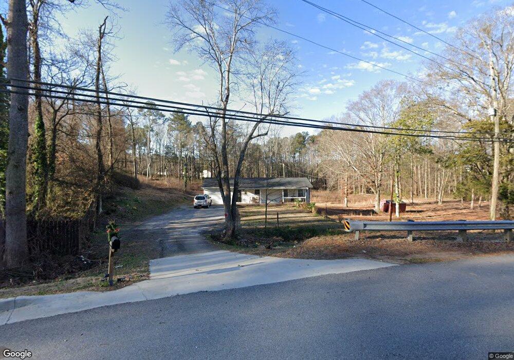
2039 Cardell Rd Austell, GA 30168
Estimated Value: $230,000 - $285,000
3
Beds
2
Baths
1,265
Sq Ft
$210/Sq Ft
Est. Value
About This Home
This home is located at 2039 Cardell Rd, Austell, GA 30168 and is currently estimated at $265,717, approximately $210 per square foot. 2039 Cardell Rd is a home located in Cobb County with nearby schools including Bryant Elementary School, Lindley Middle School, and Pebblebrook High School.
Ownership History
Date
Name
Owned For
Owner Type
Purchase Details
Closed on
Mar 8, 2016
Sold by
Andro Properties Llc
Bought by
Rubio Rigoberto Nava
Current Estimated Value
Purchase Details
Closed on
Jan 5, 2016
Sold by
Thomas Ronus S
Bought by
Andro Properties Llc
Purchase Details
Closed on
Nov 30, 2007
Sold by
Kilby Kevin S and Kilby Calvin L
Bought by
Thomas Ronus S
Home Financials for this Owner
Home Financials are based on the most recent Mortgage that was taken out on this home.
Original Mortgage
$137,434
Interest Rate
6.22%
Mortgage Type
VA
Purchase Details
Closed on
Jun 30, 1997
Sold by
Millians Roy E
Bought by
Kilby Kevin S and Kilby Calvin L
Create a Home Valuation Report for This Property
The Home Valuation Report is an in-depth analysis detailing your home's value as well as a comparison with similar homes in the area
Home Values in the Area
Average Home Value in this Area
Purchase History
| Date | Buyer | Sale Price | Title Company |
|---|---|---|---|
| Rubio Rigoberto Nava | $35,000 | -- | |
| Andro Properties Llc | $35,722 | -- | |
| Thomas Ronus S | $136,500 | -- | |
| Kilby Kevin S | $65,000 | -- |
Source: Public Records
Mortgage History
| Date | Status | Borrower | Loan Amount |
|---|---|---|---|
| Previous Owner | Thomas Ronus S | $137,434 | |
| Closed | Kilby Kevin S | -- |
Source: Public Records
Tax History Compared to Growth
Tax History
| Year | Tax Paid | Tax Assessment Tax Assessment Total Assessment is a certain percentage of the fair market value that is determined by local assessors to be the total taxable value of land and additions on the property. | Land | Improvement |
|---|---|---|---|---|
| 2025 | $3,441 | $114,192 | $60,508 | $53,684 |
| 2024 | $3,443 | $114,192 | $60,508 | $53,684 |
| 2023 | $2,759 | $91,520 | $55,732 | $35,788 |
| 2022 | $2,343 | $77,188 | $41,400 | $35,788 |
| 2021 | $1,955 | $64,416 | $33,436 | $30,980 |
| 2020 | $1,665 | $54,864 | $23,884 | $30,980 |
| 2019 | $1,665 | $54,864 | $23,884 | $30,980 |
| 2018 | $898 | $29,604 | $12,740 | $16,864 |
| 2017 | $403 | $14,000 | $6,000 | $8,000 |
| 2016 | $860 | $29,924 | $11,944 | $17,980 |
| 2015 | $726 | $24,656 | $7,960 | $16,696 |
| 2014 | $663 | $22,312 | $0 | $0 |
Source: Public Records
Map
Nearby Homes
- 1972 Cox Dr Unit 5
- 6581 Coventry Point Unit 1
- 2072 Woodbine Cir
- 6718 Roscommon Dr
- 1151 S Gordon Rd
- 6627 Coventry Point
- 0 Maxham Rd Unit 10652291
- 1784 Brandemere Dr Unit 3
- 2023 Lee Dr
- 6445 Sherwood Trail
- 6083 Oak Hill Dr
- 6084 S Gordon Rd
- 2414 Old Alabama Rd
- 1576 S Gordon Rd
- 6651 Malvin Dr
- 1138 Pontiac Cir
- 1138 Pontiac Cir Unit 23
- 110 Creekway Dr
- 1550 Greenbrook Dr
- 6992 Ivy Pointe Row
- 0 Coventry Point Unit 8862463
- 0 Coventry Point Unit 8669760
- 0 Coventry Point Unit 7479027
- 0 Coventry Point Unit 3153265
- 0 Coventry Point Unit 7039908
- 0 Coventry Point Unit 7515228
- 0 Coventry Point Unit 8265091
- 6552 Coventry Point
- 6550 Coventry Point Unit 1
- 6554 Coventry Point
- 0 Cardell Rd Unit 10009200
- 0 Cardell Rd Unit 6981891
- 6556 Coventry Point
- 2036 Cardell Rd
- 1953 Abbey Province
- 2033 Cardell Rd
- 6558 Coventry Point Unit 1
- 3866 Saint George Terrace SW Unit 3866
- 3866 Saint George Terrace SW
- 2043 Cardell Rd