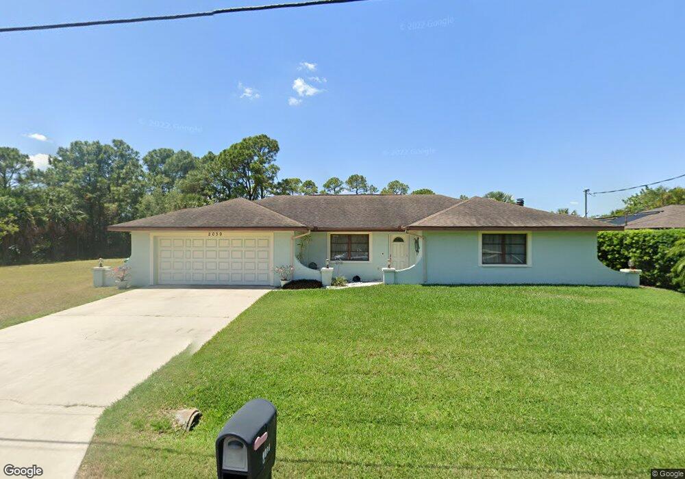
2039 Hyatt Dr Port Charlotte, FL 33948
Estimated Value: $313,000 - $335,000
2
Beds
2
Baths
2,208
Sq Ft
$147/Sq Ft
Est. Value
About This Home
This home is located at 2039 Hyatt Dr, Port Charlotte, FL 33948 and is currently estimated at $324,640, approximately $147 per square foot. 2039 Hyatt Dr is a home located in Charlotte County with nearby schools including Meadow Park Elementary School, Murdock Middle School, and Port Charlotte High School.
Ownership History
Date
Name
Owned For
Owner Type
Purchase Details
Closed on
Apr 26, 2012
Sold by
Lamb Albert B and Lamb Jean M
Bought by
Hughes John L and Hughes Julie A
Current Estimated Value
Home Financials for this Owner
Home Financials are based on the most recent Mortgage that was taken out on this home.
Original Mortgage
$88,000
Outstanding Balance
$60,709
Interest Rate
3.96%
Mortgage Type
New Conventional
Estimated Equity
$263,931
Purchase Details
Closed on
Jun 9, 1999
Sold by
Lamb Albert B and Lamb Jean M
Bought by
Lamb Albert B and Lamb Jean M
Create a Home Valuation Report for This Property
The Home Valuation Report is an in-depth analysis detailing your home's value as well as a comparison with similar homes in the area
Home Values in the Area
Average Home Value in this Area
Purchase History
| Date | Buyer | Sale Price | Title Company |
|---|---|---|---|
| Hughes John L | $110,000 | Attorney | |
| Hughes John L | $110,000 | Attorney | |
| Lamb Albert B | -- | -- | |
| Lamb Albert B | -- | -- |
Source: Public Records
Mortgage History
| Date | Status | Borrower | Loan Amount |
|---|---|---|---|
| Open | Hughes John L | $88,000 |
Source: Public Records
Tax History Compared to Growth
Tax History
| Year | Tax Paid | Tax Assessment Tax Assessment Total Assessment is a certain percentage of the fair market value that is determined by local assessors to be the total taxable value of land and additions on the property. | Land | Improvement |
|---|---|---|---|---|
| 2025 | $3,378 | $217,868 | -- | -- |
| 2023 | $3,345 | $205,561 | $0 | $0 |
| 2022 | $3,226 | $199,574 | $0 | $0 |
| 2021 | $3,224 | $193,761 | $0 | $0 |
| 2020 | $3,167 | $191,086 | $0 | $0 |
| 2019 | $3,065 | $186,790 | $0 | $0 |
| 2018 | $2,832 | $183,307 | $0 | $0 |
| 2017 | $2,806 | $179,537 | $20,740 | $158,797 |
| 2016 | $3,207 | $158,159 | $0 | $0 |
| 2015 | $3,018 | $143,781 | $0 | $0 |
| 2014 | $2,705 | $130,710 | $0 | $0 |
Source: Public Records
Map
Nearby Homes
- 2024 Pellam Blvd
- 2080 Pellam Blvd
- 2088 Pellam Blvd
- 1237 Pike Ave NW
- 2070 Carpetgreen St
- 19077 Cochran Blvd
- 16054 Ivy Ridge Ct
- 2119 Pellam Blvd
- 18503 Barbara Ave
- 2193 Hyatt Dr
- 2201 Hyatt Dr
- 948 Columbia Terrace
- 948 Andrews Ave NW
- 906 Bayard Terrace
- 2216 Pellam Blvd
- 1181 Seacrest Dr NW
- 18440 Morrisson Ave
- 931 Red Bay Terrace NW
- 2709 Rock Creek Dr
- 2224 Tinker St
- 2031 Hyatt Dr
- 2225 Hyatt Dr
- 1256 Pike Ave NW
- 2055 Hyatt Dr
- 2030 Hyatt Dr
- 2015 Hyatt Dr
- 1252 Pike Ave NW
- 2063 Hyatt Dr
- 1253 Fleetwood Dr NW
- 2040 Pellam Blvd
- 2048 Pellam Blvd
- 1248 Pike Ave NW
- 2071 Hyatt Dr
- 1253 Pike Ave NW
- 2056 Pellam Blvd
- 1249 Fleetwood Dr NW
- 2016 Pellam Blvd
- 2064 Pellam Blvd
- 1244 Pike Ave NW