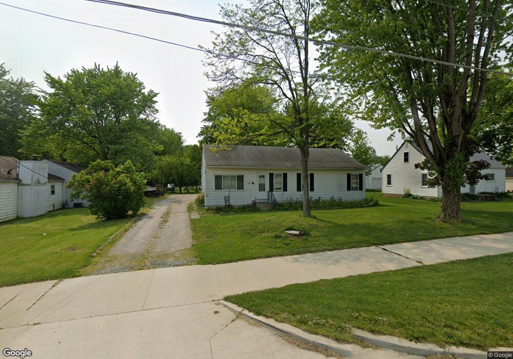
2039 Landin Rd New Haven, IN 46774
Estimated Value: $161,000 - $242,000
3
Beds
2
Baths
1,288
Sq Ft
$157/Sq Ft
Est. Value
About This Home
This home is located at 2039 Landin Rd, New Haven, IN 46774 and is currently estimated at $202,498, approximately $157 per square foot. 2039 Landin Rd is a home located in Allen County with nearby schools including J Wilbur Haley Elementary School, Blackhawk Middle School, and R Nelson Snider High School.
Ownership History
Date
Name
Owned For
Owner Type
Purchase Details
Closed on
Jul 2, 2019
Sold by
Jmj Real Estate Services Llc
Bought by
Daisy Mae Holdings Llc
Current Estimated Value
Purchase Details
Closed on
Nov 1, 2018
Sold by
Thompson Lennie L and The James W Thompson Living Tr
Bought by
Jmj Real Estate Llc
Purchase Details
Closed on
Jul 30, 2013
Sold by
The Living Trust Of James W Thompson And and Thompson James W
Bought by
City Of New Haven
Create a Home Valuation Report for This Property
The Home Valuation Report is an in-depth analysis detailing your home's value as well as a comparison with similar homes in the area
Home Values in the Area
Average Home Value in this Area
Purchase History
| Date | Buyer | Sale Price | Title Company |
|---|---|---|---|
| Daisy Mae Holdings Llc | -- | Metropolitan Title Of In | |
| Jmj Real Estate Llc | -- | Metropolitan Title Of In | |
| City Of New Haven | $14,700 | None Available |
Source: Public Records
Tax History Compared to Growth
Tax History
| Year | Tax Paid | Tax Assessment Tax Assessment Total Assessment is a certain percentage of the fair market value that is determined by local assessors to be the total taxable value of land and additions on the property. | Land | Improvement |
|---|---|---|---|---|
| 2024 | $1,658 | $75,600 | $14,200 | $61,400 |
| 2023 | $1,653 | $72,300 | $13,800 | $58,500 |
| 2022 | $1,234 | $54,900 | $11,100 | $43,800 |
| 2021 | $1,075 | $48,000 | $12,000 | $36,000 |
| 2020 | $998 | $45,400 | $11,600 | $33,800 |
| 2019 | $1,534 | $70,200 | $20,200 | $50,000 |
| 2018 | $668 | $101,200 | $20,200 | $81,000 |
| 2017 | $539 | $93,000 | $20,200 | $72,800 |
| 2016 | $528 | $92,300 | $20,200 | $72,100 |
| 2014 | $726 | $85,400 | $20,200 | $65,200 |
| 2013 | $796 | $89,500 | $20,200 | $69,300 |
Source: Public Records
Map
Nearby Homes
- 1704 Pinelock Ct
- 1704 Savona Ct
- 1575 Pinelock Ct
- 9532 Bonham Ln
- 1634 White Fawn Dr
- 8768 Grand Forest Dr
- 9175 Landin Pointe Blvd
- 1025 Miller Woods Way
- 1011 Miller Woods Way
- 984 Rookery Way
- 967 Rookery Way
- 8407 Hasta Ct
- 955 Rookery Way
- 966 Rookery Way
- Henley Plan at Riverwalk
- Aldridge Plan at Riverwalk
- Elder Plan at Riverwalk
- Elm Plan at Riverwalk
- Freeport Plan at Riverwalk
- Taylor Plan at Riverwalk
- 2023 Landin Rd
- 2009 Landin Rd
- 2107 Landin Rd
- 1961 Landin Rd
- 1963 Landin Rd
- 1951 Landin Rd
- 2145 Landin Rd
- 2219 Landin Rd
- 9000 Shordon Rd
- 1870 Pinelock Ct
- 9130 Shordon Rd
- 1873 Pinelock Ct
- 1854 Pinelock Ct
- 2253 Landin Rd
- 9220 Shordon Rd
- 9071 Wicklow Ln
- 1828 Pinelock Ct
- 1861 Pinelock Ct
- 1775 Landin Rd
- 9039 Wicklow Ln