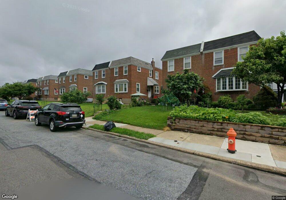
2039 Lansing St Philadelphia, PA 19152
Rhawnhurst NeighborhoodEstimated Value: $286,000 - $316,000
--
Bed
--
Bath
1,306
Sq Ft
$234/Sq Ft
Est. Value
About This Home
This home is located at 2039 Lansing St, Philadelphia, PA 19152 and is currently estimated at $305,009, approximately $233 per square foot. 2039 Lansing St is a home with nearby schools including Rhawnhurst School, Castor Gardens Middle School, and Northeast High School.
Ownership History
Date
Name
Owned For
Owner Type
Purchase Details
Closed on
Jan 23, 2019
Sold by
Jessel Anthony J and Dwyer Donna
Bought by
Jiang Liang and Jiang Yan
Current Estimated Value
Home Financials for this Owner
Home Financials are based on the most recent Mortgage that was taken out on this home.
Original Mortgage
$115,000
Outstanding Balance
$101,108
Interest Rate
4.6%
Mortgage Type
Commercial
Estimated Equity
$203,901
Purchase Details
Closed on
Mar 16, 1979
Bought by
Jessel Anthony J and Jessel Marie A
Create a Home Valuation Report for This Property
The Home Valuation Report is an in-depth analysis detailing your home's value as well as a comparison with similar homes in the area
Home Values in the Area
Average Home Value in this Area
Purchase History
| Date | Buyer | Sale Price | Title Company |
|---|---|---|---|
| Jiang Liang | $170,000 | Mutual Abstract Co | |
| Jessel Anthony J | $41,000 | -- |
Source: Public Records
Mortgage History
| Date | Status | Borrower | Loan Amount |
|---|---|---|---|
| Open | Jiang Liang | $115,000 |
Source: Public Records
Tax History Compared to Growth
Tax History
| Year | Tax Paid | Tax Assessment Tax Assessment Total Assessment is a certain percentage of the fair market value that is determined by local assessors to be the total taxable value of land and additions on the property. | Land | Improvement |
|---|---|---|---|---|
| 2025 | $3,270 | $277,500 | $55,500 | $222,000 |
| 2024 | $3,270 | $277,500 | $55,500 | $222,000 |
| 2023 | $3,270 | $233,600 | $46,720 | $186,880 |
| 2022 | $3,011 | $233,600 | $46,720 | $186,880 |
| 2021 | $3,011 | $0 | $0 | $0 |
| 2020 | $3,011 | $0 | $0 | $0 |
| 2019 | $2,741 | $0 | $0 | $0 |
| 2018 | $2,349 | $0 | $0 | $0 |
| 2017 | $2,349 | $0 | $0 | $0 |
| 2016 | $1,929 | $0 | $0 | $0 |
| 2015 | $1,847 | $0 | $0 | $0 |
| 2014 | -- | $167,800 | $39,815 | $127,985 |
| 2012 | -- | $22,176 | $4,261 | $17,915 |
Source: Public Records
Map
Nearby Homes
- 2023 Hartel Ave
- 2120 Napfle St
- 7815 Horrocks St
- 1919 Lansing St
- 1834 Lansing St
- 2029 Loney St
- 1917 Griffith St
- 2123 Loney St
- 1826 Hartel Ave
- 7912 14 Loretto Ave
- 7528 Loretto Ave
- 1821 Afton St
- 1824 Afton St
- 1807 Napfle Ave
- 1858 Glendale Ave
- 7414 Castor Ave
- 1931 33 Rhawn St
- 2301 Ripley St
- 2302 Rhawn St
- 1714 Afton St
- 2041 Lansing St
- 2037 Lansing St
- 2043 Lansing St
- 2035 Lansing St
- 2033 Lansing St
- 2031 Lansing St
- 2034 Hartel Ave
- 2036 Hartel Ave
- 2032 Hartel Ave
- 2038 Hartel Ave
- 2029 Lansing St
- 2030 Hartel Ave
- 2028 Hartel Ave
- 2027 Lansing St
- 2040 Lansing St
- 2038 Lansing St
- 2042 Lansing St
- 2036 Lansing St
- 2044 Lansing St
- 2026 Hartel Ave