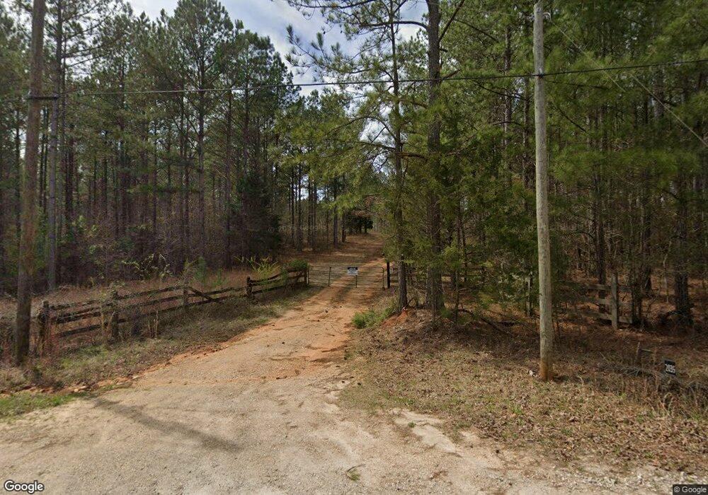
2039 Liberty Hill Rd Lagrange, GA 30240
Estimated Value: $157,000 - $1,078,584
--
Bed
--
Bath
352
Sq Ft
$1,755/Sq Ft
Est. Value
About This Home
This home is located at 2039 Liberty Hill Rd, Lagrange, GA 30240 and is currently estimated at $617,792, approximately $1,755 per square foot. 2039 Liberty Hill Rd is a home with nearby schools including Hillcrest Elementary School, Franklin Forest Elementary School, and Hollis Hand Elementary School.
Ownership History
Date
Name
Owned For
Owner Type
Purchase Details
Closed on
Oct 4, 2024
Sold by
Brown Susan H Tr
Bought by
Brown Susan H Tr and Brown Thomas Whitman
Current Estimated Value
Purchase Details
Closed on
Dec 19, 1996
Sold by
Elaenor Daniel 69 and Elaenor Int
Bought by
Mcgee Peggie D
Purchase Details
Closed on
Dec 18, 1996
Sold by
Alton Daniel 69 and Alton Int
Bought by
Elaenor Daniel 69 and Elaenor Int
Purchase Details
Closed on
Aug 16, 1991
Bought by
Alton Daniel 69 and Alton Int
Purchase Details
Closed on
Aug 15, 1991
Purchase Details
Closed on
Apr 1, 1986
Create a Home Valuation Report for This Property
The Home Valuation Report is an in-depth analysis detailing your home's value as well as a comparison with similar homes in the area
Home Values in the Area
Average Home Value in this Area
Purchase History
| Date | Buyer | Sale Price | Title Company |
|---|---|---|---|
| Brown Susan H Tr | -- | -- | |
| Mcgee Peggie D | -- | -- | |
| Elaenor Daniel 69 | -- | -- | |
| Alton Daniel 69 | -- | -- | |
| -- | -- | -- | |
| -- | -- | -- |
Source: Public Records
Tax History Compared to Growth
Tax History
| Year | Tax Paid | Tax Assessment Tax Assessment Total Assessment is a certain percentage of the fair market value that is determined by local assessors to be the total taxable value of land and additions on the property. | Land | Improvement |
|---|---|---|---|---|
| 2024 | $2,987 | $304,232 | $287,800 | $16,432 |
| 2023 | $2,889 | $303,232 | $287,800 | $15,432 |
| 2022 | $2,550 | $289,396 | $282,640 | $6,756 |
| 2021 | $2,630 | $237,216 | $232,200 | $5,016 |
| 2020 | $2,561 | $237,216 | $232,200 | $5,016 |
| 2019 | $2,493 | $237,224 | $232,200 | $5,024 |
| 2018 | $2,412 | $236,768 | $232,200 | $4,568 |
| 2017 | $2,348 | $236,768 | $232,200 | $4,568 |
| 2016 | $2,290 | $236,954 | $232,221 | $4,733 |
| 2015 | $2,233 | $236,954 | $232,221 | $4,733 |
| 2014 | $2,178 | $236,954 | $232,221 | $4,733 |
| 2013 | -- | $237,482 | $232,221 | $5,261 |
Source: Public Records
Map
Nearby Homes
- 1480 Liberty Hill Rd
- 47 Fish Camp
- 36 Fish Camp
- 50 Fish Camp
- 341 Retreat Trail
- 325 Retreat Trail
- 353 Retreat Trail
- 261 Retreat Trail
- 291 Retreat Trail
- 280 Wolf Creek Cove
- 227 Retreat Trail
- 33 Wolf Creek Cove
- 105 Wolf Creek Cove
- 115 Wolf Creek Cove
- 40 Wolf Creek Cove
- 100 Wolf Creek Cove
- 144 Wolf Creek Cove
- 147 Wolf Creek Cove
- 178 Wolf Creek Cove
- 65 Indian Bend Dr