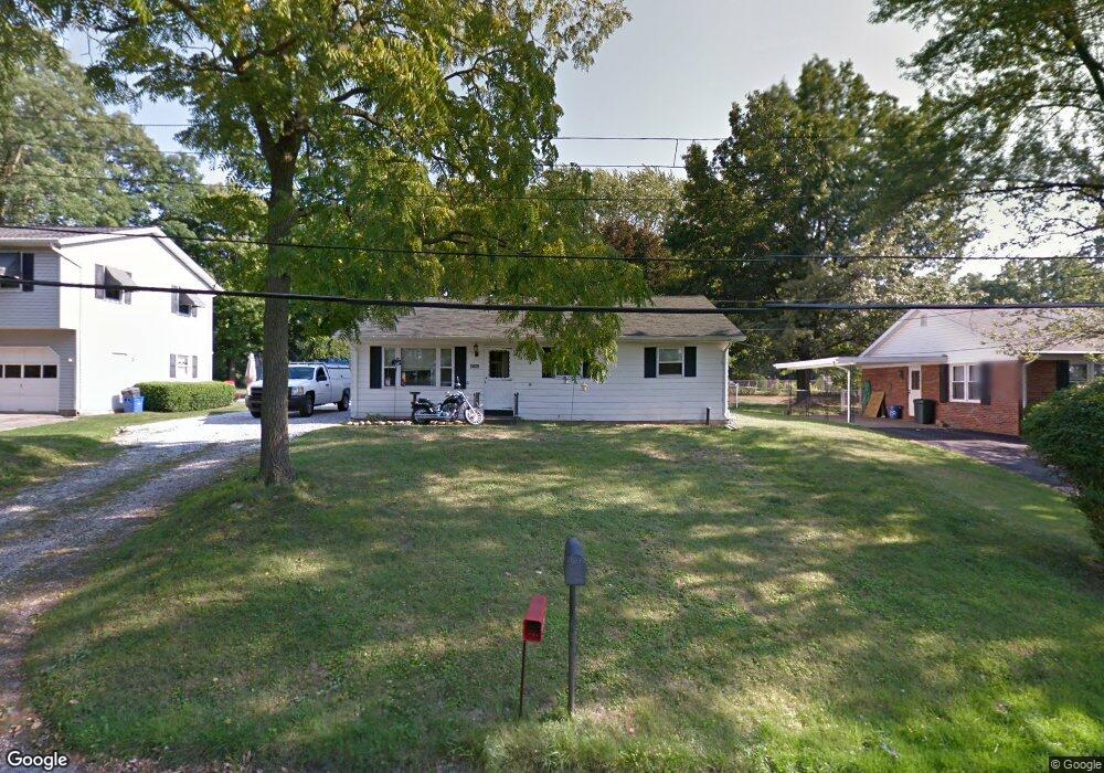
2039 Marmon Dr Erie, PA 16509
Millcreek NeighborhoodEstimated Value: $193,285 - $204,000
3
Beds
1
Bath
1,176
Sq Ft
$170/Sq Ft
Est. Value
About This Home
This home is located at 2039 Marmon Dr, Erie, PA 16509 and is currently estimated at $200,071, approximately $170 per square foot. 2039 Marmon Dr is a home located in Erie County with nearby schools including McDowell High School, Chestnut Hill Elementary School, and James S. Wilson Middle School.
Ownership History
Date
Name
Owned For
Owner Type
Purchase Details
Closed on
Dec 17, 2020
Sold by
Hennessey Michael P and Hennessey Michelle L
Bought by
Hennessey Michelle Leigh
Current Estimated Value
Home Financials for this Owner
Home Financials are based on the most recent Mortgage that was taken out on this home.
Original Mortgage
$79,500
Outstanding Balance
$70,779
Interest Rate
2.7%
Mortgage Type
New Conventional
Estimated Equity
$129,292
Purchase Details
Closed on
Sep 26, 2005
Sold by
Magee Chester R and Magee Christine R
Bought by
Hennessey Michael P and Hennessey Michelle L
Home Financials for this Owner
Home Financials are based on the most recent Mortgage that was taken out on this home.
Original Mortgage
$107,155
Interest Rate
5.84%
Mortgage Type
VA
Create a Home Valuation Report for This Property
The Home Valuation Report is an in-depth analysis detailing your home's value as well as a comparison with similar homes in the area
Home Values in the Area
Average Home Value in this Area
Purchase History
| Date | Buyer | Sale Price | Title Company |
|---|---|---|---|
| Hennessey Michelle Leigh | -- | None Available | |
| Hennessey Michael P | $104,900 | -- |
Source: Public Records
Mortgage History
| Date | Status | Borrower | Loan Amount |
|---|---|---|---|
| Open | Hennessey Michelle Leigh | $79,500 | |
| Closed | Hennessey Michael P | $107,155 |
Source: Public Records
Tax History Compared to Growth
Tax History
| Year | Tax Paid | Tax Assessment Tax Assessment Total Assessment is a certain percentage of the fair market value that is determined by local assessors to be the total taxable value of land and additions on the property. | Land | Improvement |
|---|---|---|---|---|
| 2025 | $2,736 | $99,570 | $18,100 | $81,470 |
| 2024 | $2,665 | $99,570 | $18,100 | $81,470 |
| 2023 | $2,516 | $99,570 | $18,100 | $81,470 |
| 2022 | $2,417 | $99,570 | $18,100 | $81,470 |
| 2021 | $2,391 | $99,570 | $18,100 | $81,470 |
| 2020 | $2,366 | $99,570 | $18,100 | $81,470 |
| 2019 | $2,327 | $99,570 | $18,100 | $81,470 |
| 2018 | $2,269 | $99,570 | $18,100 | $81,470 |
| 2017 | $2,264 | $99,570 | $18,100 | $81,470 |
| 2016 | $2,637 | $99,570 | $18,100 | $81,470 |
| 2015 | $2,612 | $99,570 | $18,100 | $81,470 |
| 2014 | $845 | $99,570 | $18,100 | $81,470 |
Source: Public Records
Map
Nearby Homes
- 0 Spires Dr
- 6044 Glade Dr
- 0 Peach St
- 2243 Edinboro Rd
- 7017 Crestview Dr
- 1718 W 56th St
- 2201 Keystone Dr
- 1552 Kuntz Rd
- 1842 Zimmerly Rd
- 1828 Zimmerly Rd
- 2381 Zimmerly Rd
- 2515 Zimmerly Rd
- 0 Village Common Dr Unit 174040
- 0 Village Common Dr Unit 174038
- 0 Downs Dr
- 4905 Conway St
- 4636 Wynburne Ave
- 1173 Greenfield Dr
- 1130 Saint Ann Dr
- 5005 Zuck Rd Unit 7
- 2033 Marmon Dr
- 2043 Marmon Dr
- 2025 Marmon Dr
- 6011 Meridian Dr
- 2048 Marmon Dr
- 6030 Spires Dr
- 6040 Spires Dr
- 6006 Spires Dr
- 1957 Edinboro Rd
- 5930 Meridian Dr
- 5915 Meridian Dr
- 6048 Spires Dr
- 6012 Meridian Dr
- 5916 Meridian Dr
- 6039 Meridian Dr
- 2011 Interchange Rd
- 6058 Spires Dr
- 6026 Meridian Dr
- 2010 Marmon Dr
- 6023 Spires Dr