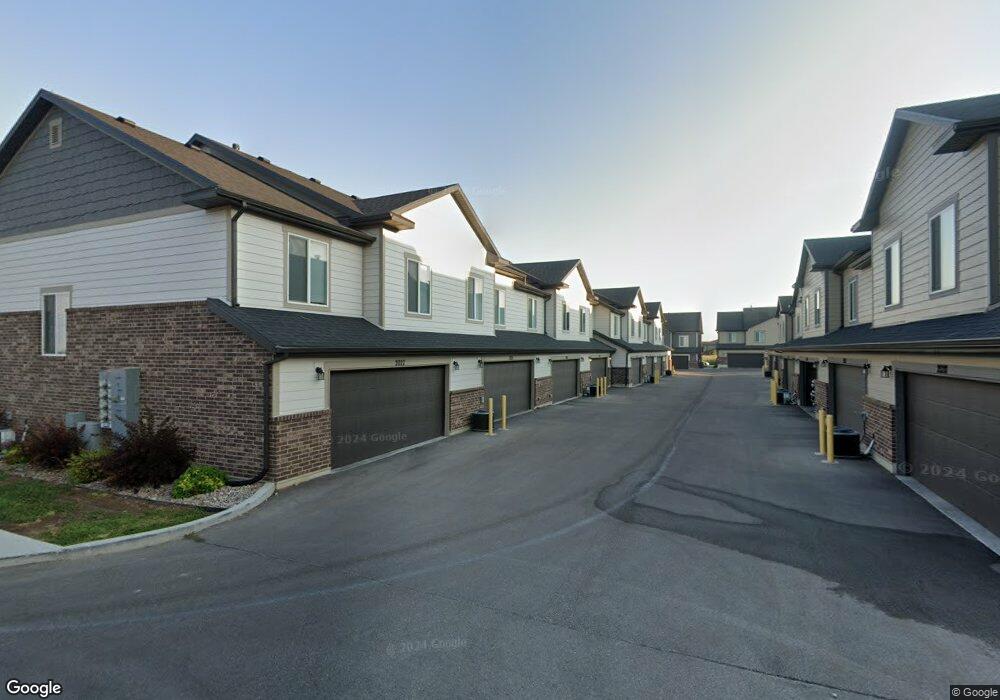
2039 N 350 E Unit 12 North Logan, UT 84341
Estimated Value: $356,000 - $378,726
3
Beds
3
Baths
1,576
Sq Ft
$231/Sq Ft
Est. Value
About This Home
This home is located at 2039 N 350 E Unit 12, North Logan, UT 84341 and is currently estimated at $363,932, approximately $230 per square foot. 2039 N 350 E Unit 12 is a home located in Cache County with nearby schools including Greenville School, Cedar Ridge School, and Cedar Ridge Middle School.
Ownership History
Date
Name
Owned For
Owner Type
Purchase Details
Closed on
Oct 23, 2020
Sold by
Espinosa Edgar V Avendano
Bought by
Espinosa Edgar V Avendano and Loeza Erika Aguirre
Current Estimated Value
Home Financials for this Owner
Home Financials are based on the most recent Mortgage that was taken out on this home.
Original Mortgage
$243,200
Outstanding Balance
$215,424
Interest Rate
2.8%
Mortgage Type
New Conventional
Estimated Equity
$148,508
Purchase Details
Closed on
Oct 22, 2020
Sold by
Sierra Homes Construction Inc
Bought by
Espinosa Edgar V Avendano
Home Financials for this Owner
Home Financials are based on the most recent Mortgage that was taken out on this home.
Original Mortgage
$243,200
Outstanding Balance
$215,424
Interest Rate
2.8%
Mortgage Type
New Conventional
Estimated Equity
$148,508
Create a Home Valuation Report for This Property
The Home Valuation Report is an in-depth analysis detailing your home's value as well as a comparison with similar homes in the area
Home Values in the Area
Average Home Value in this Area
Purchase History
| Date | Buyer | Sale Price | Title Company |
|---|---|---|---|
| Espinosa Edgar V Avendano | -- | Advanced Title Insurance Age | |
| Espinosa Edgar V Avendano | -- | Northern Title Company |
Source: Public Records
Mortgage History
| Date | Status | Borrower | Loan Amount |
|---|---|---|---|
| Open | Espinosa Edgar V Avendano | $243,200 |
Source: Public Records
Tax History Compared to Growth
Tax History
| Year | Tax Paid | Tax Assessment Tax Assessment Total Assessment is a certain percentage of the fair market value that is determined by local assessors to be the total taxable value of land and additions on the property. | Land | Improvement |
|---|---|---|---|---|
| 2025 | $1,506 | $210,845 | $0 | $0 |
| 2024 | $1,604 | $208,995 | $0 | $0 |
| 2023 | $1,697 | $206,855 | $0 | $0 |
| 2022 | $1,776 | $206,855 | $0 | $0 |
| 2021 | $142 | $256,900 | $62,000 | $194,900 |
| 2020 | $413 | $38,500 | $38,500 | $0 |
Source: Public Records
Map
Nearby Homes
- 327 E 2230 N Unit A
- 242 E 2230 N Unit A
- 385 E 2280 N Unit D
- 272 E 1725 N Unit 3
- Somerley Plan at Smiling H Ranch
- Viewside Plan at Smiling H Ranch
- Willow Plan at Smiling H Ranch
- Northfield Plan at Smiling H Ranch
- Westbrook Plan at Smiling H Ranch
- Hamilton Plan at Smiling H Ranch
- Foxhill Plan at Smiling H Ranch
- Chamberlain Plan at Smiling H Ranch
- Fairway Plan at Smiling H Ranch
- Oakridge Plan at Smiling H Ranch
- Brantwood Plan at Smiling H Ranch
- Milton Plan at Smiling H Ranch
- Ashland Plan at Smiling H Ranch
- Jefferson Plan at Smiling H Ranch
- Kensington Plan at Smiling H Ranch
- Cambria Plan at Smiling H Ranch
- 2043 N 350 E Unit 13
- 2047 N 350 E
- 2047 N 350 E Unit 14
- 2051 N 350 E Unit 15
- 2035 N 350 E Unit 11
- 2031 N 350 E Unit 10
- 2055 N 350 E Unit 16
- 2040 N 350 E Unit 20
- 2040 N 350 E
- 2044 N 350 E Unit 21
- 2048 N 350 E
- 2046 N 350 E Unit 22
- 2036 N 350 E Unit 19
- 2027 N 350 E Unit 9
- 2052 N 350 E
- 2052 N 350 E Unit 23
- 2032 N 350 E
- 2056 N 350 E Unit 24
- 2028 N 350 E Unit 17
- 2028 N 350 E