2039 S Vincent Ridge Dr Spanish Fork, UT 84660
Estimated Value: $951,000 - $1,105,473
5
Beds
4
Baths
5,863
Sq Ft
$174/Sq Ft
Est. Value
About This Home
This home is located at 2039 S Vincent Ridge Dr, Spanish Fork, UT 84660 and is currently estimated at $1,017,368, approximately $173 per square foot. 2039 S Vincent Ridge Dr is a home located in Utah County with nearby schools including East Meadows Elementary School, Spanish Fork Jr High School, and Spanish Fork High School.
Ownership History
Date
Name
Owned For
Owner Type
Purchase Details
Closed on
Jun 26, 2019
Sold by
Sweetwater Homes Llc
Bought by
Rookstool Jody
Current Estimated Value
Purchase Details
Closed on
Oct 26, 2018
Sold by
Vincent Ridge Llc
Bought by
Sweetwater Homes Llc
Home Financials for this Owner
Home Financials are based on the most recent Mortgage that was taken out on this home.
Original Mortgage
$10,000
Interest Rate
4.6%
Mortgage Type
Construction
Create a Home Valuation Report for This Property
The Home Valuation Report is an in-depth analysis detailing your home's value as well as a comparison with similar homes in the area
Home Values in the Area
Average Home Value in this Area
Purchase History
| Date | Buyer | Sale Price | Title Company |
|---|---|---|---|
| Rookstool Jody | -- | Utah First Title Ins Agcy | |
| Sweetwater Homes Llc | -- | Key Land Title |
Source: Public Records
Mortgage History
| Date | Status | Borrower | Loan Amount |
|---|---|---|---|
| Previous Owner | Sweetwater Homes Llc | $10,000 |
Source: Public Records
Tax History Compared to Growth
Tax History
| Year | Tax Paid | Tax Assessment Tax Assessment Total Assessment is a certain percentage of the fair market value that is determined by local assessors to be the total taxable value of land and additions on the property. | Land | Improvement |
|---|---|---|---|---|
| 2025 | $4,925 | $1,035,600 | $268,500 | $767,100 |
| 2024 | $4,925 | $507,595 | $0 | $0 |
| 2023 | $4,936 | $509,300 | $0 | $0 |
| 2022 | $4,802 | $485,980 | $0 | $0 |
| 2021 | $4,407 | $713,500 | $181,700 | $531,800 |
| 2020 | $4,399 | $692,500 | $165,200 | $527,300 |
| 2019 | $1,729 | $157,500 | $157,500 | $0 |
| 2018 | $1,528 | $134,500 | $134,500 | $0 |
| 2017 | $1,161 | $99,900 | $0 | $0 |
Source: Public Records
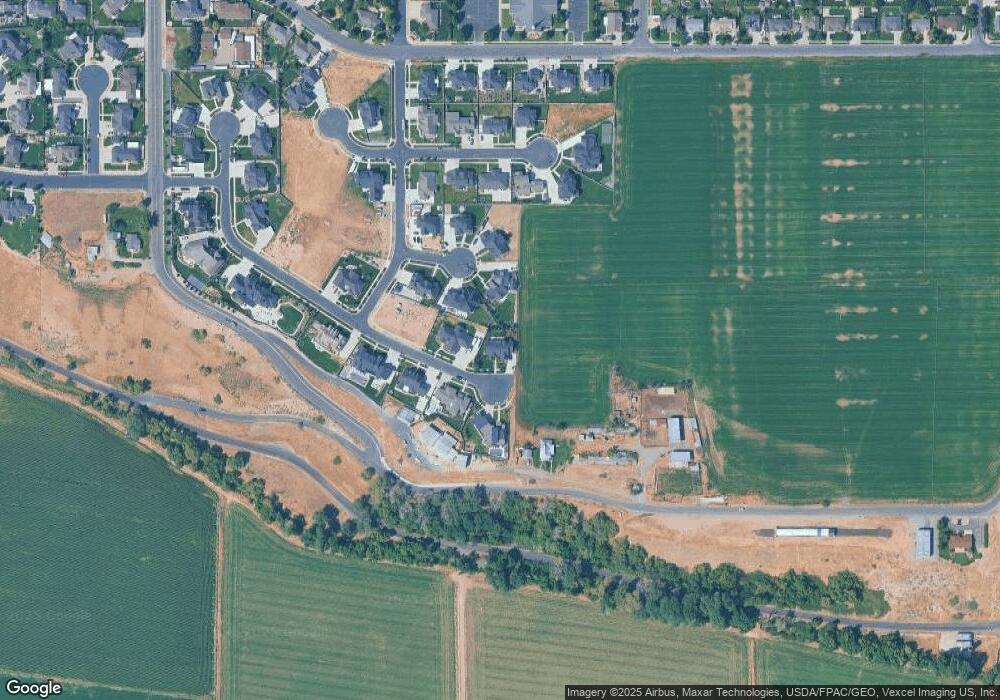
Map
Nearby Homes
- 1907 E 1960 S
- 2012 E 1630 S
- 1503 S 3740 E Unit 1320
- 1341 E 1670 S Unit 819
- 1333 E 1670 S Unit 816
- 1339 E 1670 S Unit 818
- 1334 E 1670 S Unit 822
- 1296 E 1670 S Unit 910
- 1336 E 1670 S Unit 821
- 1337 E 1670 S Unit 817
- 1338 E 1670 S Unit 820
- 1332 E 1670 S Unit 823
- 1298 E 1670 S Unit 909
- 1547 S 2120 E
- Stockton Plan at High Sky Estates
- Lyla Plan at High Sky Estates
- Konlee Plan at High Sky Estates
- Lennon Plan at High Sky Estates
- Aaron Plan at High Sky Estates
- Amie Plan at High Sky Estates
- 2031 S Vincent Ridge Dr
- 1898 E 1960 S Unit 24
- 1898 E 1960 S
- 1906 E 1960 S
- 2038 S Vincent Ridge Dr
- 2052 S Vincent Ridge Dr
- 2028 S Vincent Ridge Dr
- 2003 S Vincent Ridge Dr Unit 12
- 1872 E 1960 S Unit 23
- 1881 E 2200 S
- 1951 E 2200 S
- 1907 E 1960 S Unit 26
- 2018 S Vincent Ridge Dr
- 1897 E 1960 S
- 1871 E 1960 S Unit 28
- 1989 S Vincent Ridge Dr Unit 13
- 1912 E 1885 S
- 1938 E 1885 S
- 2002 S Vincent Ridge Dr
- 1894 E 1885 S