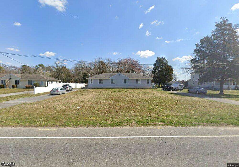
2039 Southeast Blvd Vineland, NJ 08360
Estimated Value: $361,002 - $412,000
2
Beds
1
Bath
2,040
Sq Ft
$193/Sq Ft
Est. Value
About This Home
This home is located at 2039 Southeast Blvd, Vineland, NJ 08360 and is currently estimated at $393,751, approximately $193 per square foot. 2039 Southeast Blvd is a home located in Cumberland County with nearby schools including Dr. William Mennies School, Landis Middle School, and Vineland Senior High School.
Ownership History
Date
Name
Owned For
Owner Type
Purchase Details
Closed on
May 28, 2021
Sold by
Marciano Mariano A
Bought by
Piatt Justin J
Current Estimated Value
Home Financials for this Owner
Home Financials are based on the most recent Mortgage that was taken out on this home.
Original Mortgage
$225,834
Outstanding Balance
$204,465
Interest Rate
2.9%
Mortgage Type
FHA
Estimated Equity
$189,286
Purchase Details
Closed on
Nov 5, 2015
Sold by
Coucill Curtis B
Bought by
Marciano Mariano A
Home Financials for this Owner
Home Financials are based on the most recent Mortgage that was taken out on this home.
Original Mortgage
$181,623
Interest Rate
4.25%
Mortgage Type
FHA
Purchase Details
Closed on
Jul 3, 2006
Sold by
Rpj Properties Llc
Bought by
Coucill Curtis B
Purchase Details
Closed on
Oct 21, 2002
Sold by
Mayo Stephen
Bought by
Third Chestnut Realty Llc
Create a Home Valuation Report for This Property
The Home Valuation Report is an in-depth analysis detailing your home's value as well as a comparison with similar homes in the area
Home Values in the Area
Average Home Value in this Area
Purchase History
| Date | Buyer | Sale Price | Title Company |
|---|---|---|---|
| Piatt Justin J | $230,000 | Misc Company | |
| Marciano Mariano A | $185,000 | Foundation Title Llc | |
| Coucill Curtis B | $200,000 | -- | |
| Third Chestnut Realty Llc | -- | -- |
Source: Public Records
Mortgage History
| Date | Status | Borrower | Loan Amount |
|---|---|---|---|
| Open | Piatt Justin J | $225,834 | |
| Previous Owner | Marciano Mariano A | $181,623 |
Source: Public Records
Tax History Compared to Growth
Tax History
| Year | Tax Paid | Tax Assessment Tax Assessment Total Assessment is a certain percentage of the fair market value that is determined by local assessors to be the total taxable value of land and additions on the property. | Land | Improvement |
|---|---|---|---|---|
| 2025 | $6,094 | $191,400 | $37,800 | $153,600 |
| 2024 | $6,094 | $191,400 | $37,800 | $153,600 |
| 2023 | $6,054 | $191,400 | $37,800 | $153,600 |
| 2022 | $5,874 | $191,400 | $37,800 | $153,600 |
| 2021 | $5,767 | $191,400 | $37,800 | $153,600 |
| 2020 | $5,602 | $191,400 | $37,800 | $153,600 |
| 2019 | $5,526 | $191,400 | $37,800 | $153,600 |
| 2018 | $5,380 | $191,400 | $37,800 | $153,600 |
| 2017 | $5,110 | $191,400 | $37,800 | $153,600 |
| 2016 | $4,930 | $191,400 | $37,800 | $153,600 |
| 2015 | $4,749 | $191,400 | $37,800 | $153,600 |
| 2014 | $4,490 | $191,400 | $37,800 | $153,600 |
Source: Public Records
Map
Nearby Homes
- 1901 S East Blvd Unit 1903
- 450 E Grant Ave
- 1494 S East Ave
- 2640 Brunetta Dr
- 668 W Elmer Rd
- 347 E Sherman Ave
- 5100 S Delsea Dr
- 2280 Delsea
- 2470 S Main Rd
- 312 Cindy Dr
- 2399 S Main Rd
- 2652 S Main Rd
- 1001 S West Ave
- 780 E Elmer Rd
- 2653 S Main Rd
- 571 W Sherman Ave
- 0 S East Ave
- 1300 Lilac Dr
- 66 W Walnut Rd
- 964 Michael Ave
- 2039 S East Blvd
- 2061 S East Blvd
- 2015 S East Blvd
- 1991 S East Blvd
- 2079 S East Blvd
- 1955 S East Blvd Unit 1957
- 2060 S West Blvd
- 1943 - 1945 S East Blvd
- 1943 S East Blvd Unit 1945
- 1925 S East Blvd Unit 1927
- 2161 S East Blvd
- 1927 S East Blvd
- 2185 S East Blvd
- 1877 S East Blvd Unit 1879
- 2205 S East Blvd
- 85 E Elmer Rd
- 65 E Elmer Rd
- 45 E Elmer Rd
- 115 E Elmer Rd
- 0 Se Blvd Unit 1004457599