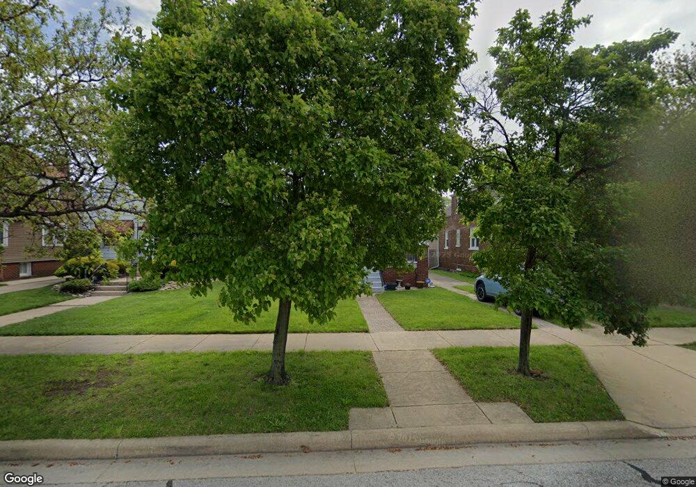
2039 Stanton Ave Whiting, IN 46394
Estimated Value: $201,376 - $270,000
3
Beds
1
Bath
2,280
Sq Ft
$102/Sq Ft
Est. Value
About This Home
This home is located at 2039 Stanton Ave, Whiting, IN 46394 and is currently estimated at $233,594, approximately $102 per square foot. 2039 Stanton Ave is a home located in Lake County with nearby schools including Benjamin Franklin Elementary School, Eggers Middle School, and Hammond High School.
Ownership History
Date
Name
Owned For
Owner Type
Purchase Details
Closed on
Feb 21, 2007
Sold by
Breitweiser Patricia A and Estate Of Francis J Sandrick
Bought by
Henson Brenda
Current Estimated Value
Home Financials for this Owner
Home Financials are based on the most recent Mortgage that was taken out on this home.
Original Mortgage
$117,500
Interest Rate
6.27%
Mortgage Type
Purchase Money Mortgage
Create a Home Valuation Report for This Property
The Home Valuation Report is an in-depth analysis detailing your home's value as well as a comparison with similar homes in the area
Home Values in the Area
Average Home Value in this Area
Purchase History
| Date | Buyer | Sale Price | Title Company |
|---|---|---|---|
| Henson Brenda | -- | Chicago Title Insurance Co |
Source: Public Records
Mortgage History
| Date | Status | Borrower | Loan Amount |
|---|---|---|---|
| Closed | Henson Brenda | $117,500 |
Source: Public Records
Tax History
| Year | Tax Paid | Tax Assessment Tax Assessment Total Assessment is a certain percentage of the fair market value that is determined by local assessors to be the total taxable value of land and additions on the property. | Land | Improvement |
|---|---|---|---|---|
| 2025 | $2,097 | $185,000 | $32,100 | $152,900 |
| 2024 | $7,456 | $178,800 | $32,100 | $146,700 |
| 2023 | $2,004 | $156,000 | $32,000 | $124,000 |
| 2022 | $1,958 | $151,000 | $32,000 | $119,000 |
| 2021 | $1,766 | $136,500 | $21,600 | $114,900 |
| 2020 | $1,782 | $136,800 | $21,600 | $115,200 |
| 2019 | $1,576 | $115,500 | $21,600 | $93,900 |
| 2018 | $1,606 | $111,700 | $21,600 | $90,100 |
| 2017 | $1,762 | $110,300 | $21,600 | $88,700 |
| 2016 | $1,525 | $107,700 | $21,600 | $86,100 |
| 2014 | $1,572 | $111,600 | $21,600 | $90,000 |
| 2013 | $1,367 | $103,100 | $21,600 | $81,500 |
Source: Public Records
Map
Nearby Homes
- 2024 Lake Ave
- 1949 Lake Ave
- 2231 Davis Ave
- 2134 Lincoln Ave
- 1944 Warwick Ave
- 1218 120th St
- 1806 Brown Ave
- 1314 121st St
- 2017 Clark St
- 1719 Atchison Ave
- 1710 Atchison Ave
- 2027 1/2 Davidson Place
- 2140 Indianapolis Blvd
- 1704 Central Ave
- 1711 Central Ave
- 1631 Cleveland Ave
- 1643 Roberts Ave
- 1539 Myrtle Ave
- 1609 Caroline Ave
- 1623 Central Ave
- 2037 Stanton Ave
- 2043 Stanton Ave
- 2033 Stanton Ave
- 2047 Stanton Ave
- 2029 Stanton Ave
- 2049 Stanton Ave
- 2040 Lake Ave
- 2044 Lake Ave
- 2038 Lake Ave
- 2025 Stanton Ave
- 2046 Lake Ave
- 2034 Lake Ave
- 2040 Stanton Ave
- 2038 Stanton Ave
- 2044 Stanton Ave
- 2030 Lake Ave
- 2034 Stanton Ave
- 2050 Lake Ave Unit 52
- 2046 Stanton Ave
- 2023 Stanton Ave
Your Personal Tour Guide
Ask me questions while you tour the home.