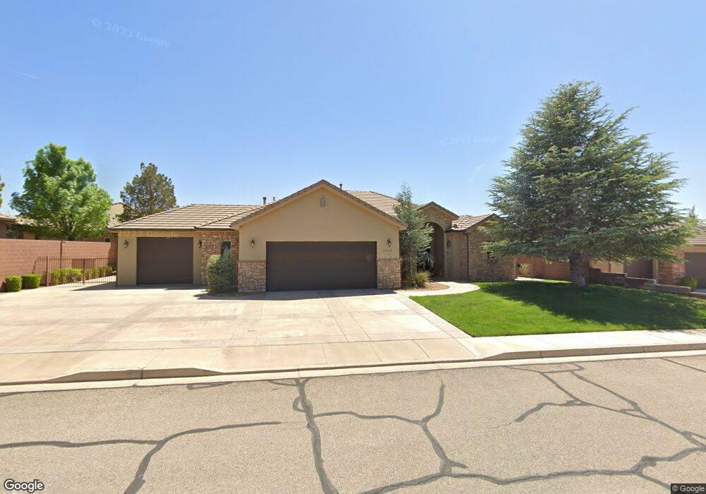
2039 W 510 N Unit LOT 20 St. George, UT 84770
Estimated Value: $603,000 - $680,000
3
Beds
2
Baths
2,563
Sq Ft
$256/Sq Ft
Est. Value
About This Home
This home is located at 2039 W 510 N Unit LOT 20, St. George, UT 84770 and is currently estimated at $656,108, approximately $255 per square foot. 2039 W 510 N Unit LOT 20 is a home located in Washington County with nearby schools including Sunset School, Snow Canyon Middle School, and Lava Ridge Intermediate School.
Ownership History
Date
Name
Owned For
Owner Type
Purchase Details
Closed on
Mar 10, 2021
Sold by
Clark Steven and Clark Aimee
Bought by
Hulbert Dennis P and Hulbert Terri V
Current Estimated Value
Purchase Details
Closed on
Jun 5, 2017
Sold by
Bawden Keith
Bought by
Clark Steven and Clark Aimee
Home Financials for this Owner
Home Financials are based on the most recent Mortgage that was taken out on this home.
Original Mortgage
$381,600
Interest Rate
4.02%
Mortgage Type
New Conventional
Purchase Details
Closed on
Jun 6, 2007
Sold by
Bradbury Steven H
Bought by
Bawden Keith
Home Financials for this Owner
Home Financials are based on the most recent Mortgage that was taken out on this home.
Original Mortgage
$260,000
Interest Rate
6.14%
Mortgage Type
Purchase Money Mortgage
Purchase Details
Closed on
Oct 24, 2006
Sold by
Jayhawkers Llc
Bought by
Bradbury Steven H
Home Financials for this Owner
Home Financials are based on the most recent Mortgage that was taken out on this home.
Original Mortgage
$412,000
Interest Rate
6.3%
Mortgage Type
Construction
Create a Home Valuation Report for This Property
The Home Valuation Report is an in-depth analysis detailing your home's value as well as a comparison with similar homes in the area
Home Values in the Area
Average Home Value in this Area
Purchase History
| Date | Buyer | Sale Price | Title Company |
|---|---|---|---|
| Hulbert Dennis P | -- | Backman Title Services Ltd | |
| Clark Steven | -- | Terra Title Co | |
| Bawden Keith | -- | First American Title Southto | |
| Bradbury Steven H | -- | First American Title Co |
Source: Public Records
Mortgage History
| Date | Status | Borrower | Loan Amount |
|---|---|---|---|
| Previous Owner | Clark Steven | $381,600 | |
| Previous Owner | Bawden Keith | $260,000 | |
| Previous Owner | Bradbury Steven H | $412,000 |
Source: Public Records
Tax History Compared to Growth
Tax History
| Year | Tax Paid | Tax Assessment Tax Assessment Total Assessment is a certain percentage of the fair market value that is determined by local assessors to be the total taxable value of land and additions on the property. | Land | Improvement |
|---|---|---|---|---|
| 2025 | $4,780 | $698,800 | $172,500 | $526,300 |
| 2023 | $5,113 | $764,000 | $143,800 | $620,200 |
| 2022 | $5,371 | $754,700 | $132,300 | $622,400 |
| 2021 | $2,440 | $511,300 | $97,800 | $413,500 |
| 2020 | $2,216 | $437,300 | $80,500 | $356,800 |
| 2019 | $2,043 | $393,900 | $80,500 | $313,400 |
| 2018 | $4,154 | $413,500 | $0 | $0 |
| 2017 | $2,301 | $222,420 | $0 | $0 |
| 2016 | $2,228 | $199,100 | $0 | $0 |
| 2015 | $2,248 | $192,775 | $0 | $0 |
| 2014 | $2,303 | $198,770 | $0 | $0 |
Source: Public Records
Map
Nearby Homes
- 1950 W 470 St N
- 565 N Moonglow Place
- 414 Northstar Dr
- 665 N Dusk Dr
- 340 N Country Ln Unit 66
- 340 N Country Ln Unit 27
- 1732 W 540 N Unit 13
- 1732 W 540 N Unit 120
- 1732 W 540 N Unit 92
- 1732 W 540 N Unit 161
- 1732 W 540 N Unit 68
- 1732 W 540 N Unit 17
- 271 N Country Ln Unit 60
- 271 N Country Ln Unit B14
- 1735 W 540 N Unit 1203
- 1735 W 540 N Unit 1202
- 225 N Country Ln Unit 111
- 225 N Country Ln Unit 104
- 225 N Country Ln Unit 5
- 2394 W Chardonnay
- 2039 W 510 N
- 2039 W 510 North Cir
- 2047 W 510 North Cir
- 2025 W 510 N
- 483 N North Star Dr
- 2036 W 510 North Cir
- 483 Northstar Dr
- 471 Northstar Dr
- 2048 W 510 North Cir
- 2048 W 510 N
- 2022 W 510 N
- 2052 W 510 North Cir
- 1993 W 510 North Cir
- 1993 W 510 St N
- 535 Northstar Dr
- 457 Northstar Dr
- 1994 W 470 St N
- 2045 W Moonglow Place
- 114 Sunset Plateau
- 2057 W Moonglow Place