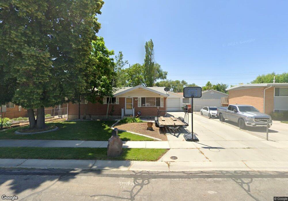
2039 W 7560 S West Jordan, UT 84084
Estimated Value: $467,000 - $513,000
4
Beds
2
Baths
1,968
Sq Ft
$249/Sq Ft
Est. Value
About This Home
This home is located at 2039 W 7560 S, West Jordan, UT 84084 and is currently estimated at $489,322, approximately $248 per square foot. 2039 W 7560 S is a home located in Salt Lake County with nearby schools including Majestic Elementary Arts Academy, West Jordan Middle School, and West Jordan High School.
Ownership History
Date
Name
Owned For
Owner Type
Purchase Details
Closed on
Oct 29, 2013
Sold by
Pace C Dale and Pace Linda B
Bought by
Stauffer Kevin
Current Estimated Value
Home Financials for this Owner
Home Financials are based on the most recent Mortgage that was taken out on this home.
Original Mortgage
$204,232
Outstanding Balance
$155,392
Interest Rate
4.75%
Mortgage Type
FHA
Estimated Equity
$333,930
Purchase Details
Closed on
Jun 27, 2011
Sold by
Pollard Brent
Bought by
Merit Distributing Defined Benefit Plan
Purchase Details
Closed on
May 17, 2010
Sold by
Pace C Dale and Pace Linda
Bought by
Pace C Dale and Pace Linda B
Home Financials for this Owner
Home Financials are based on the most recent Mortgage that was taken out on this home.
Original Mortgage
$53,500
Interest Rate
5.21%
Mortgage Type
New Conventional
Create a Home Valuation Report for This Property
The Home Valuation Report is an in-depth analysis detailing your home's value as well as a comparison with similar homes in the area
Home Values in the Area
Average Home Value in this Area
Purchase History
| Date | Buyer | Sale Price | Title Company |
|---|---|---|---|
| Stauffer Kevin | -- | First American Title | |
| Merit Distributing Defined Benefit Plan | -- | Integrated Title Ins Svcs | |
| Pace C Dale | -- | Titan Title Ins Agcy Inc |
Source: Public Records
Mortgage History
| Date | Status | Borrower | Loan Amount |
|---|---|---|---|
| Open | Stauffer Kevin | $204,232 | |
| Previous Owner | Pace C Dale | $53,500 |
Source: Public Records
Tax History Compared to Growth
Tax History
| Year | Tax Paid | Tax Assessment Tax Assessment Total Assessment is a certain percentage of the fair market value that is determined by local assessors to be the total taxable value of land and additions on the property. | Land | Improvement |
|---|---|---|---|---|
| 2025 | $2,111 | $441,400 | $127,200 | $314,200 |
| 2024 | $2,111 | $406,100 | $117,100 | $289,000 |
| 2023 | $2,111 | $380,300 | $112,600 | $267,700 |
| 2022 | $2,196 | $391,700 | $110,400 | $281,300 |
| 2021 | $1,876 | $304,600 | $84,800 | $219,800 |
| 2020 | $1,801 | $274,500 | $73,300 | $201,200 |
| 2019 | $1,703 | $254,500 | $73,300 | $181,200 |
| 2018 | $1,549 | $229,600 | $70,100 | $159,500 |
| 2017 | $1,439 | $212,300 | $70,100 | $142,200 |
| 2016 | $1,389 | $192,600 | $70,100 | $122,500 |
| 2015 | $1,467 | $198,300 | $74,800 | $123,500 |
| 2014 | $1,315 | $175,000 | $66,800 | $108,200 |
Source: Public Records
Map
Nearby Homes
- 2169 W 7600 S
- 7645 S 1960 W
- 2062 W 7705 S
- 1829 W 7600 S Unit G301
- 1817 W 7600 S Unit I204
- 1801 W 7600 S Unit C201
- 1805 W 7600 S Unit D204
- 2386 W 7680 S
- 1678 Leland Dr
- 7279 S Kenadi Ct
- 1718 W Trey Way Unit 2
- 7693 S Redwood Rd
- 7647 S 2500 W
- 2510 W Jordan Meadows Ln
- 7150 Camelot Way
- 7149 S Camelot Way
- 1951 W 7125 S
- 2573 Jordan Meadows Ln
- 7657 Sunrise Place E
- 2312 W Hidden Bend Cove Unit 107
- 7574 Uranium Dr
- 2045 W 7560 S
- 7592 Uranium Dr
- 7592 S Uranium Dr
- 2042 W 7600 S
- 2059 W 7560 S
- 2056 W 7600 S
- 2038 W 7560 S
- 7594 S Uranium Dr
- 2044 W 7560 S
- 7554 Uranium Dr
- 7591 S Uranium Dr
- 7591 Uranium Dr
- 2058 W 7560 S
- 2075 W 7560 S
- 2072 W 7600 S
- 7577 Uranium Dr
- 7567 Uranium Dr
- 7557 Uranium Dr
- 7557 S Uranium Dr