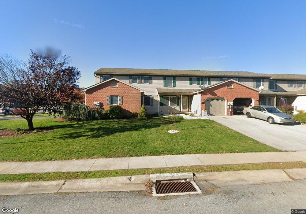
204 Acorn Cir Lebanon, PA 17042
Estimated Value: $1,142,000
7
Beds
6
Baths
5,020
Sq Ft
$227/Sq Ft
Est. Value
About This Home
This home is located at 204 Acorn Cir, Lebanon, PA 17042 and is currently estimated at $1,142,000, approximately $227 per square foot. 204 Acorn Cir is a home located in Lebanon County with nearby schools including Cornwall Elementary School, Cedar Crest Middle School, and Cedar Crest High School.
Ownership History
Date
Name
Owned For
Owner Type
Purchase Details
Closed on
Jul 16, 2025
Sold by
Quinn Thomas S
Bought by
Quinn Thomas S
Current Estimated Value
Home Financials for this Owner
Home Financials are based on the most recent Mortgage that was taken out on this home.
Original Mortgage
$3,675,000
Outstanding Balance
$3,668,554
Interest Rate
6.67%
Mortgage Type
New Conventional
Estimated Equity
-$3,590,554
Create a Home Valuation Report for This Property
The Home Valuation Report is an in-depth analysis detailing your home's value as well as a comparison with similar homes in the area
Home Values in the Area
Average Home Value in this Area
Purchase History
| Date | Buyer | Sale Price | Title Company |
|---|---|---|---|
| Quinn Thomas S | -- | None Listed On Document | |
| Quinn Creek Partners Llc | $125,000 | None Listed On Document | |
| Quinn Creek Partners Llc | $1,132,000 | None Listed On Document |
Source: Public Records
Mortgage History
| Date | Status | Borrower | Loan Amount |
|---|---|---|---|
| Open | Quinn Creek Partners Llc | $3,675,000 |
Source: Public Records
Tax History Compared to Growth
Tax History
| Year | Tax Paid | Tax Assessment Tax Assessment Total Assessment is a certain percentage of the fair market value that is determined by local assessors to be the total taxable value of land and additions on the property. | Land | Improvement |
|---|---|---|---|---|
| 2025 | $9,724 | $388,500 | $286,600 | $101,900 |
| 2024 | $8,878 | $388,500 | $286,600 | $101,900 |
| 2023 | $8,878 | $388,500 | $286,600 | $101,900 |
| 2022 | $8,637 | $388,500 | $286,600 | $101,900 |
| 2021 | $8,228 | $388,500 | $286,600 | $101,900 |
| 2020 | $8,168 | $388,500 | $286,600 | $101,900 |
| 2019 | $14,246 | $691,400 | $286,600 | $404,800 |
| 2018 | $13,996 | $691,400 | $286,600 | $404,800 |
| 2017 | $3,832 | $691,400 | $286,600 | $404,800 |
| 2016 | $13,755 | $691,400 | $286,600 | $404,800 |
| 2015 | -- | $691,400 | $286,600 | $404,800 |
| 2014 | -- | $691,400 | $286,600 | $404,800 |
Source: Public Records
Map
Nearby Homes
- 47 Norway Ln
- 120 Forge Dr
- 124 Forge Dr
- 1020 Stanford Dr Unit 150
- 128 Forge Dr
- 148 Forge Dr
- 1055 Percy Ln Unit 217
- 180 Riders Way
- 1012 English Dr
- 1007 Great Hall Dr
- 0 Iron Valley Dr Unit PALN2022810
- 128 Foundry Ln
- 130 Foundry Ln
- 132 Foundry Ln
- 138 Foundry Ln
- 140 Foundry Ln
- 102 Ironmaster Rd
- 142 Foundry Ln
- 136 Foundry Ln
- 38 Palmer St